The Canadian river that carved a path through the Rockies and defined a peace
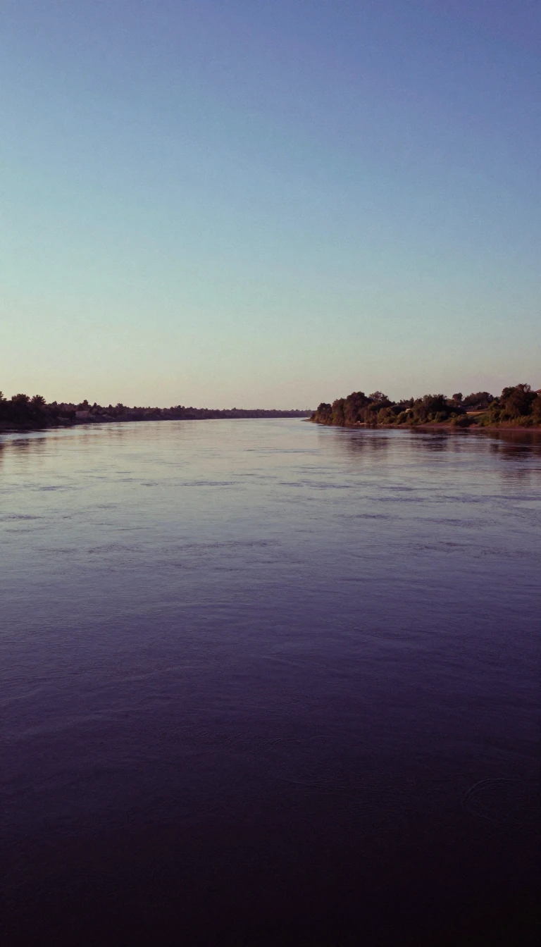
In short: Spanning over 1,900 kilometres, the Peace River is the only waterway to cut directly through the Canadian Rockies. Beyond its geological significance, the river serves as a vital energy corridor and a historic boundary, marking the end of long-standing territorial conflicts between the Dane-zaa and Cree peoples.
Originating in the Rocky Mountains of British Columbia, the Peace River flows northeast through Alberta, eventually joining the Athabasca River to form the Slave River, a major tributary of the Mackenzie. Its name commemorates a 1781 treaty between the Dane-zaa and the Cree, who used the river as a formal border after a smallpox epidemic ended their hostilities. Before this, the river was known to the Dane-zaa as Unjegah, meaning large river, and was later explored by Alexander Mackenzie in 1792 and 1793.
The river's economic character has shifted dramatically over centuries. Initially a critical fur-trading route, the valley became known for its rich agricultural potential in the late 19th century. Today, the region is a powerhouse of industrial activity, supporting oil and natural gas extraction, as well as pulp and paper production. The landscape is also defined by massive hydroelectric infrastructure, beginning with the W. A. C. Bennett Dam, which created Williston Lake in 1968 and currently supplies over 30% of British Columbia's electricity demand.
Geologically and logistically, the river remains a complex system. It is the only river to carve a path entirely through the Rockies, yet it is not fully navigable due to the Vermilion Chutes near Fort Vermilion. While early steamships like the Grahame once relied on wood from the riverbanks for fuel, modern development focuses on renewable energy. With the completion of the Site C dam in 2025, the river continues to be a central pillar in British Columbia's strategy to meet growing green energy needs and reduce regional carbon footprints.
Opens the Intellect+ feed with this card first. Swipe up for the next one.
Sources
- Summary by Intellect · source: Peace River
- Also: Wikidata — Peace River · CC0
- Also: www.britannica.com — Peace River | Wildlife, Recreation & History | Britannica
- Also: Wikidata — Peace River · CC0
To cite this card, link to https://intellectplus.co.uk/app/places-peace-river.
How we source, check and correct cards: Editorial standards.
General information, not professional advice. Spotted an error? Flag the card or see corrections and complaints.
Intellect Plus is a visual educational discovery platform for exploring fascinating facts and ideas. Brain Food, Not Brain Rot. What is Intellect Plus?
Related
More in Bodies of water · More in Countries & Cities · Latest · A–Z · All topics
