The North Saskatchewan River is a glacier-fed waterway that shaped Western Canada's history
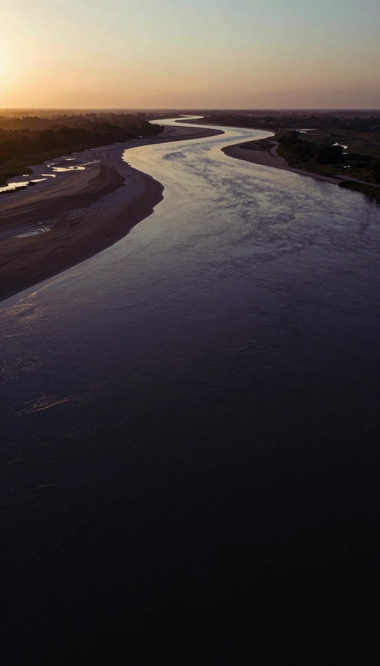
In short: Originating from the Columbia Icefield, the North Saskatchewan River flows over 1,200 kilometres toward Hudson Bay. Once a vital fur trade artery and home to indigenous cultures, this glacier-fed river remains a central feature of the Canadian landscape, supporting urban parklands, hydroelectric power, and a complex, flood-prone ecosystem.
The North Saskatchewan River begins its journey above 1,800 metres at the toe of the Saskatchewan Glacier. Its path spans 1,287 kilometres, carving through diverse terrain ranging from the eastern slopes of the Rocky Mountains to the plains-parkland divide. Throughout its history, the river served as a natural boundary between the plains Blackfoot and the woodland Cree. Its significance as a transportation route grew during the fur trade era, when companies like the Hudson's Bay Company and the North West Company utilized the river's eastern flow to transport goods via York boats.
The river's economic utility evolved from fur trade brigades to steamboat shipping in the late 19th century, and eventually to industrial uses like log drives and ice harvesting. Today, the river is recognized for its environmental and cultural value. The North Saskatchewan River valley parks system in Edmonton stands as the largest urban parkland in Canada. In 2024, a 718-kilometre stretch of the river in Alberta achieved final designation as a Canadian Heritage River, building upon the earlier 1989 designation of the section within Banff National Park.
Despite its beauty, the river is subject to periodic, dramatic flooding. Historical events, such as the 1915 flood in Edmonton, saw water levels rise 42 feet above low flow, causing significant destruction. While dams like the Bighorn and Brazeau were constructed in the 1960s and 1970s for hydroelectric generation, they have not reduced the river's flooding potential. These facilities remain critical to Alberta's energy infrastructure; the Brazeau plant, built in 1965, stands as the province's largest hydroelectric facility with a capacity of 355 megawatts, while the Bighorn Dam, completed in 1972, serves as the largest producer of hydroelectric electricity by annual volume.
Opens the Intellect+ feed with this card first. Swipe up for the next one.
Sources
- Summary by Intellect · source: North Saskatchewan River
- Also: Wikidata — North Saskatchewan River · CC0
- Also: Wikidata — North Saskatchewan River · CC0
To cite this card, link to https://intellectplus.co.uk/app/places-north-saskatchewan-river.
How we source, check and correct cards: Editorial standards.
General information, not professional advice. Spotted an error? Flag the card or see corrections and complaints.
Intellect Plus is a visual educational discovery platform for exploring fascinating facts and ideas. Brain Food, Not Brain Rot. What is Intellect Plus?
Related
More in Bodies of water · More in Countries & Cities · Latest · A–Z · All topics
