Why Contra Costa County is a masterclass in California's complex geological and social history
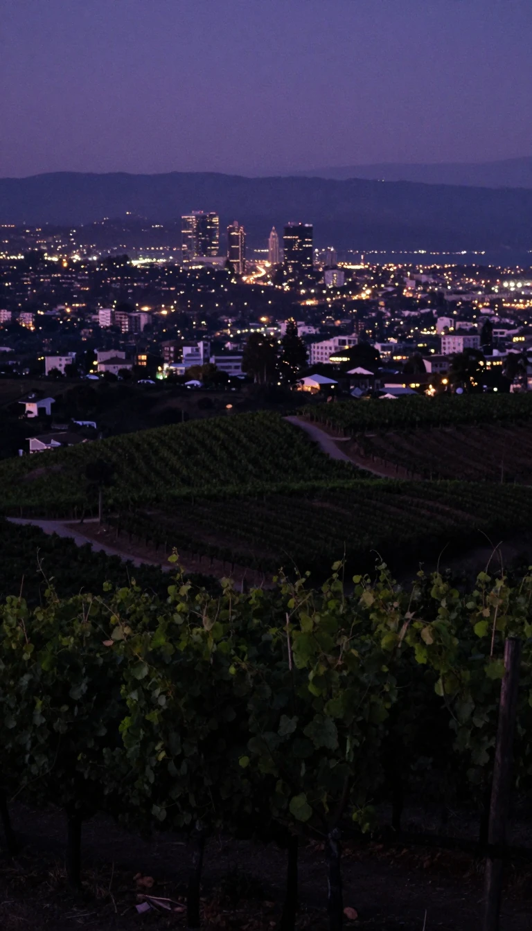
In short: Named for its position opposite San Francisco, Contra Costa County has evolved from a prehistoric savanna and Spanish ranchero territory into a sprawling suburban network. Its landscape is defined by active fault lines and the towering Mount Diablo, while its history reflects the rapid shifts of the American West.
Contra Costa County, established in 1850 as one of California's original 27 counties, occupies a unique position in the East Bay. Its name, meaning 'opposite coast' in Spanish, highlights its geographic relationship to San Francisco across the bay. Geologically, the region is remarkably complex, featuring ancient seabed rocks, volcanic ash, and pillow lavas. The landscape is dominated by Mount Diablo, a 3,849-foot peak that serves as the origin point for surveys covering much of California and western Nevada. The area is also crisscrossed by several active strike-slip faults, including the Hayward, Calaveras, and Concord faults, which pose significant risks to critical regional infrastructure.
Before European arrival, the land was home to the Bay Miwok, Yokut, and Ohlone peoples. Spanish influence was direct, characterized by land grants from the King of Spain and later the Mexican government. These ranchos, such as Rancho Monte del Diablo and Rancho Los Meganos, formed the basis of early land titles. The transition to American control was accelerated by John Marsh, whose letters to the eastern United States encouraged immigration and established his ranch as the terminus of the California Trail. This influx led to the Bear Flag Revolt in 1846 and subsequent annexation by the United States.
The 20th century transformed the county from a rural landscape of walnut orchards and cattle ranches into a suburban powerhouse. Following World War II, the region experienced rapid growth driven by the baby boom and the development of large tract housing. Cities like Walnut Creek and Concord evolved into 'edge cities,' supported by infrastructure projects like the BART system and the expansion of Highway 24. Today, the county is divided into distinct sub-areas—West, Central, and East—each with its own character, ranging from industrial heritage sites like the Port Chicago Naval Magazine to the extensive protected open spaces surrounding Mount Diablo.
Opens the Intellect+ feed with this card first. Swipe up for the next one.
Sources
- Summary by Intellect · source: Contra Costa County, California
- Also: Wikidata — Contra Costa County · CC0
To cite this card, link to https://intellectplus.co.uk/app/places-contra-costa-county-california.
How we source, check and correct cards: Editorial standards.
General information, not professional advice. Spotted an error? Flag the card or see corrections and complaints.
Intellect Plus is a visual educational discovery platform for exploring fascinating facts and ideas. Brain Food, Not Brain Rot. What is Intellect Plus?
Related
More in Bodies of water · More in Countries & Cities · Latest · A–Z · All topics
