The Australian river that rarely reaches its destination despite its massive size
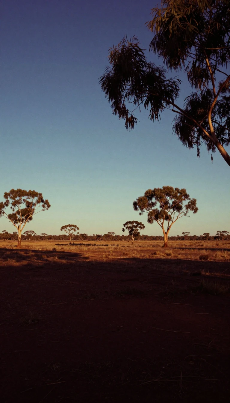
In short: Spanning 1,300 kilometres, Cooper Creek is a vital lifeline in the Australian outback. Yet, this massive river system often vanishes into the earth or evaporates long before it can reach its final destination, Lake Eyre. Its erratic flow is a testament to the unpredictable nature of the arid Channel Country.
Cooper Creek rises west of the Great Dividing Range, formed by the Thomson and Barcoo rivers. It traverses the arid landscapes of Queensland and South Australia, eventually feeding into the Lake Eyre basin. Unlike predictable river systems, the Cooper is ephemeral; its flow depends on monsoonal rains that fall hundreds of kilometres away in eastern Queensland months prior. In most years, the water is absorbed by the parched earth or fills local waterholes and lakes, such as Lake Yamma Yamma, rather than reaching its terminus.
The river's history is deeply intertwined with both exploration and indigenous displacement. Aboriginal Australians have inhabited the region for over 20,000 years, maintaining complex trade networks for goods like ochre and pituri. However, the arrival of European settlers in the late 19th century brought rapid change. By 1880, the area was stocked with cattle, leading to the displacement of local tribes. By 1900, the indigenous population had plummeted to just 30 survivors—a mere 10% of the original number—largely due to the introduction of diseases like influenza and measles.
The scale of the Cooper is deceptive. While its mean annual flow is approximately 2.3 cubic kilometres, it is prone to extreme flooding. During the 1940 flood, the creek reached widths of over 43 kilometres. Despite carrying more runoff than the nearby Diamantina and Georgina rivers, the Cooper reaches Lake Eyre less frequently. This is due to high absorption rates along its course and long-term climatic cycles. Evidence from lake terraces suggests that during the Medieval Warm Period, the river reached the lake more consistently, highlighting how the landscape has been shaped by centennial shifts in moisture.
Today, the basin is primarily used for cattle and sheep grazing. While the soil is fertile, the rainfall is too erratic for reliable cropping. The river remains a site of historical significance, most famously as the location where explorers Burke and Wills perished in 1861. Their expedition, and the subsequent settlement at Innamincka, marked the beginning of a permanent European presence in a region that remains defined by its struggle between extreme drought and sudden, vast inundation.
Opens the Intellect+ feed with this card first. Swipe up for the next one.
Sources
- Summary by Intellect · source: Cooper Creek
- Also: Wikidata — Cooper Creek · CC0
- Also: Wikidata — Cooper Creek · CC0
To cite this card, link to https://intellectplus.co.uk/app/places-cooper-creek.
How we source, check and correct cards: Editorial standards.
General information, not professional advice. Spotted an error? Flag the card or see corrections and complaints.
Intellect Plus is a visual educational discovery platform for exploring fascinating facts and ideas. Brain Food, Not Brain Rot. What is Intellect Plus?
Related
More in Bodies of water · More in Countries & Cities · Latest · A–Z · All topics
