The six counties of Northern Ireland are remnants of a centuries-long colonial shiring process.
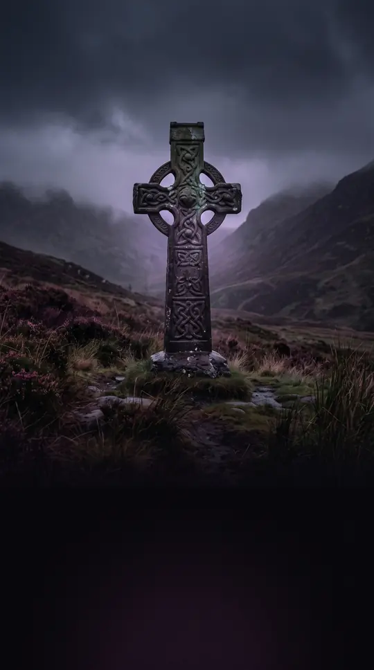
In short: Northern Ireland is defined by six historic counties, yet these borders were not finalized until the 17th century. Born from the Tudor conquest and the Plantation of Ulster, these divisions evolved from medieval Norman earldoms into administrative units that still shape local identity, postal history, and even modern lieutenancy areas.
The modern map of Northern Ireland is the result of a long, often violent process of shiring that began after the Anglo-Norman invasion. Initially, the Earldom of Ulster, established in the 1170s, was subdivided into multiple shires based on Norman power centers. However, this structure collapsed following the 1333 murder of the last de Burgh earl, leading to a Gaelic recovery that eroded English control until only coastal enclaves remained.
A systematic effort to impose English administrative boundaries began under Queen Elizabeth I. In 1584, Sir John Perrott, the Lord Deputy of Ireland, created six counties in Ulster, though his plan remained largely notional due to the rebellion of Hugh O'Neill. It was only after the Nine Years' War and the subsequent Flight of the Earls that the Plantation of Ulster allowed these counties to be firmly established. County Londonderry, for instance, was formally created in 1613 as part of this plantation, evolving from the earlier County Coleraine.
These counties served as the primary local government areas from the 1921 creation of Northern Ireland until 1973. While the administrative system was replaced by unitary councils in 1973—and later rationalized into 11 districts in 2015—the six counties persist in cultural life, the Gaelic Athletic Association, and even the definition of lieutenancy areas. Today, they remain a powerful, if contested, symbol of identity, often referred to as 'the Six Counties' by those who oppose the partition of Ireland.
Beneath the county level, the land was once divided into baronies, units derived from Irish chieftain territories used for taxation and record-keeping from the 17th to the 19th centuries. While these are now obsolete, the legacy of the county system remains embedded in the landscape, serving as a reminder of the complex layers of conquest, plantation, and administrative reform that have defined the region for over 400 years.
Opens the Intellect+ feed with this card first. Swipe up for the next one.
Sources
- Summary by Intellect · source: Counties of Northern Ireland
- Also: Wikidata — county of Northern Ireland · CC0
To cite this card, link to https://intellectplus.co.uk/app/places-counties-of-northern-ireland.
How we source, check and correct cards: Editorial standards.
General information, not professional advice. Spotted an error? Flag the card or see corrections and complaints.
Intellect Plus is a visual educational discovery platform for exploring fascinating facts and ideas. Brain Food, Not Brain Rot. What is Intellect Plus?
Related
More in World Heritage Sites · More in Countries & Cities · Latest · A–Z · All topics
