The Colorado River is a vital, heavily engineered artery that rarely reaches the sea.
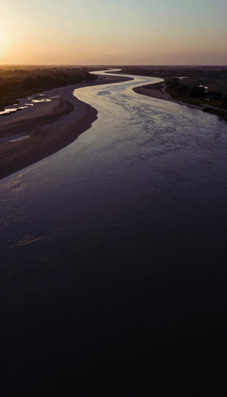
In short: Once a wild force carving the Grand Canyon, the Colorado River is now a meticulously managed plumbing system. Through a vast network of dams, tunnels, and canals, its waters sustain major cities and massive agricultural projects, often leaving the riverbed dry long before it can reach the Gulf of California.
Rising in the Rocky Mountains of Colorado, the river begins as a small stream before transforming into a powerful, 1,470-mile waterway. Its path through the Southwestern United States is defined by dramatic geological features, including the Grand Canyon, and a complex series of diversions. The river’s drainage basin spans 242,000 square miles in the United States and an additional 3,000 square miles in Mexico. Despite its historical role in shaping the landscape, the river is largely impassable for transportation due to its rugged canyons and unpredictable tidal bores at its mouth.
The river’s modern utility is the result of massive engineering projects initiated in the early 20th century. The Hoover Dam, completed in 1936, created Lake Mead, a reservoir capable of storing more than two years of the river's normal flow. This and other structures, such as the Parker and Imperial Dams, allow for the diversion of water into extensive aqueducts that supply cities like Los Angeles and irrigate the fertile Imperial Valley. These projects have turned an arid region into a productive agricultural hub, though the intense demand for water means that only about 10 percent of the river's flow typically reaches Mexico.
Water rights remain a subject of significant legal and interstate complexity. The Boulder Canyon Project Act of 1928 and subsequent Supreme Court rulings have established strict quotas for states like California, Arizona, and Nevada, based on an estimated average annual flow of 7,500,000 acre-feet. Today, the river is so heavily utilized for urban and agricultural needs that, as satellite imagery from 2000 confirms, it often disappears into the desert sands of Mexico rather than completing its natural journey to the sea. This transformation highlights the tension between the river's natural state and its role as a critical resource for millions of people.
Opens the Intellect+ feed with this card first. Swipe up for the next one.
Sources
- Summary by Intellect · source: Colorado River - Students | Britannica Kids | Homework Help
- Also: Endpoint of the Colorado River, Mexico | U.S. Geological Survey
- Also: Course of the Colorado River
To cite this card, link to https://intellectplus.co.uk/app/places-course-of-the-colorado-river.
How we source, check and correct cards: Editorial standards.
General information, not professional advice. Spotted an error? Flag the card or see corrections and complaints.
Intellect Plus is a visual educational discovery platform for exploring fascinating facts and ideas. Brain Food, Not Brain Rot. What is Intellect Plus?
Related
More in Bodies of water · More in Countries & Cities · Latest · A–Z · All topics
