Why the Green River carved through a mountain range instead of flowing around it
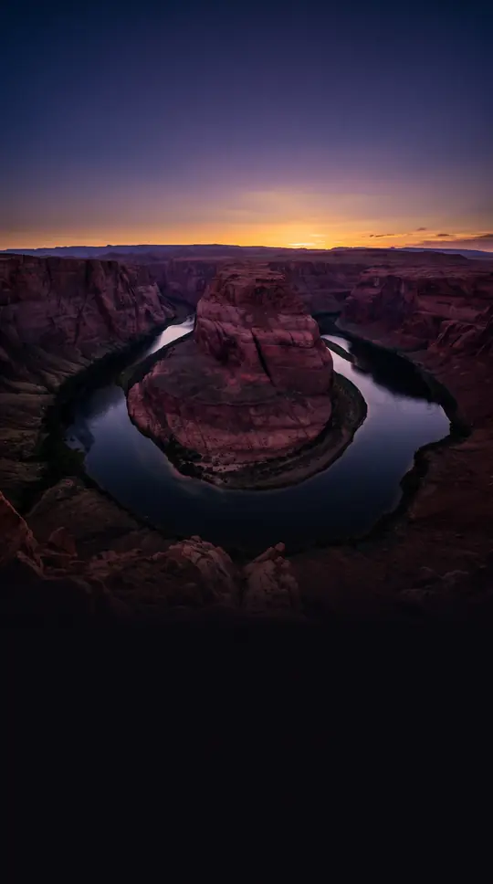
In short: The Green River is a 730-mile-long waterway that defies conventional geography. Eight million years ago, it carved a path directly through the 13,000-foot-tall Uinta Mountains rather than navigating around them. Geologists have long puzzled over this gravity-defying feat, recently uncovering the mechanism that allowed this massive geological incision to occur.
The Green River, the primary tributary of the Colorado River, begins in the Wind River Range of Wyoming and travels through Utah and Colorado. Its path is defined by the dramatic canyons of the Colorado Plateau. While it is technically smaller than the Colorado at their confluence, the Green typically carries a significantly larger load of silt. Its status as a tributary is a relatively modern political designation; until 1921, the river above the confluence was officially known as the Grand River. Following a petition by Representative Edward T. Taylor, President Warren G. Harding signed a resolution renaming the Grand to the Colorado, despite protests from the U.S. Geological Survey, which argued the Green’s drainage basin was more extensive.
The river's history is marked by both human migration and cartographic confusion. Early Spanish explorers and later American trappers struggled to map its course, with some erroneously believing it drained into the Great Salt Lake or the Pacific Ocean. It was not until the expeditions of John C. Fremont in the 1840s and John Wesley Powell in 1869 that the river's true path was firmly established. For 19th-century emigrants on the Oregon and Mormon trails, the river was a formidable obstacle, too deep to ford and requiring the use of ferries to cross safely.
Beyond its physical geography, the Green River Basin holds immense economic significance. It contains the world's largest known deposit of trona ore, which supports a major soda ash mining industry near Green River, Wyoming. The region is also home to the Green River Formation, which contains vast, though currently economically unfeasible, deposits of oil shale. Estimates suggest between 500 billion and 1.1 trillion barrels of oil could potentially be recovered from the kerogen trapped in the rock. However, the lack of viable technology and the high environmental cost mean these resources remain largely untapped, keeping the river's role as a source of water for irrigation, power, and industry at the forefront of regional development.
Opens the Intellect+ feed with this card first. Swipe up for the next one.
Sources
- Summary by Intellect · source: Green River (Colorado River tributary)
- Also: www.livescience.com — The Colorado River
To cite this card, link to https://intellectplus.co.uk/app/places-green-river-colorado-river-tributary.
How we source, check and correct cards: Editorial standards.
General information, not professional advice. Spotted an error? Flag the card or see corrections and complaints.
Intellect Plus is a visual educational discovery platform for exploring fascinating facts and ideas. Brain Food, Not Brain Rot. What is Intellect Plus?
Related
More in Bodies of water · More in Countries & Cities · Latest · A–Z · All topics
