The Himalayan region of Garhwal was once a collection of fifty-two separate mountain fortresses.
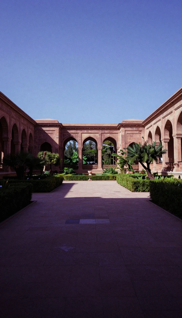
In short: Nestled in the Himalayas, the Garhwal division is a rugged landscape of deep gorges and sacred peaks. Once a patchwork of fifty-two independent principalities, this region was unified in the 15th century by King Ajai Pal, whose legacy remains etched into the very name of this storied mountain territory.
The name Garhwal is widely believed to derive from the term for a possessor of forts, reflecting the region's history as a collection of fifty-two distinct principalities. In the 15th century, King Ajai Pal of the Parmar dynasty consolidated these separate domains into a single kingdom. For three centuries, this unified state thrived with its capital at Srinagar, situated on the banks of the Alaknanda River. The region's history is deeply intertwined with spiritual traditions; it is frequently mentioned in the Mahabharata and the Skanda Purana, and the 8th-century reformer Adi Shankaracharya is credited with establishing key shrines here, including Badrinath and Kedarnath.
The 19th century brought significant geopolitical shifts. Following a Gurkha invasion, the Garhwal rulers sought British military assistance, a move that ultimately led to the cession of 60% of their territory to the British. By the early 20th century, the British district of Garhwal was integrated into the Kumaon Division, encompassing over 5,600 square miles. The landscape is defined by extreme topography, featuring towering peaks such as Nanda Devi, which reaches 7,816 meters. The Alaknanda River serves as the primary drainage system, eventually merging with the Bhagirathi at Devprayag to form the Ganges.
Today, Garhwal is one of two administrative divisions in the Indian state of Uttarakhand, comprising seven districts including Dehradun and Chamoli. Its culture remains vibrant, characterized by traditional crafts like Ringaal bamboo weaving and a diverse array of folk dances such as the UNESCO-recognized Ramman tradition. While the economy relies on agriculture and animal husbandry, the region is also marked by its vulnerability to natural disasters, most notably the 2013 cloudburst that caused widespread destruction. Despite these challenges, the people of Garhwal maintain a distinct identity, with the Garhwali language serving as a primary cultural pillar for millions of residents.
Opens the Intellect+ feed with this card first. Swipe up for the next one.
Sources
- Summary by Intellect · source: Garhwal division
- Also: Wikidata — Garhwal division · CC0
To cite this card, link to https://intellectplus.co.uk/app/places-garhwal-division.
How we source, check and correct cards: Editorial standards.
General information, not professional advice. Spotted an error? Flag the card or see corrections and complaints.
Intellect Plus is a visual educational discovery platform for exploring fascinating facts and ideas. Brain Food, Not Brain Rot. What is Intellect Plus?
Related
More in Bodies of water · More in Countries & Cities · Latest · A–Z · All topics
