How a rugged mountain stream became the lifeblood of American westward expansion
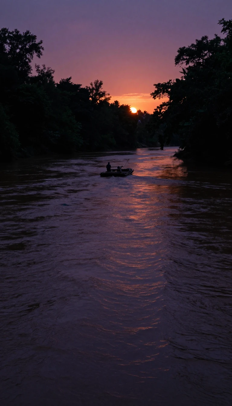
In short: Spanning 716 miles from the Rocky Mountains to the Great Plains, the North Platte River served as the essential corridor for fur traders and pioneers. Today, this once-wild waterway is a managed blue-ribbon fishery and a critical irrigation source, transforming semi-arid landscapes into green oases across three states.
The North Platte River originates in the high-altitude basins of Jackson County, Colorado, where snowmelt from peaks exceeding 11,000 feet feeds its headwaters. From this rugged start, the river flows north into Wyoming before turning east-southeast toward Nebraska. Along its path, it transitions from a swift mountain stream into a slower, braided river that eventually joins the South Platte to form the Platte River. This confluence ultimately feeds the Missouri and Mississippi systems, creating a massive drainage network for the American West.
During the 19th century, the river valley was the primary highway for westward migration. Fur traders first mapped the route in 1811, though it remained largely unused until Jedediah Smith rediscovered it in 1823. By 1832, traders had established a rough wagon trail that would later support the Oregon, California, Mormon, and Bozeman trails. Pioneers relied on the river for the two essentials of survival: water and grass for their livestock. As traffic increased, the river became a hub of infrastructure, featuring ferries like the Mormon Ferry, established by Brigham Young in 1847, and toll bridges built by entrepreneurs like Louis Guinard in 1859.
In the modern era, the river’s character has been fundamentally reshaped by human engineering. Massive projects like the Kingsley Dam, constructed between 1935 and 1941, created Lake C.W. McConaughy, the second-largest hydraulic fill dam in the world. While these reservoirs provide vital irrigation for agriculture, they have significantly reduced the river's flow compared to its historical width, which once reached up to a mile in some sections. Despite these changes, the river remains a central economic and recreational asset, particularly in Wyoming, where it is recognized as a blue-ribbon fishery for rainbow, brown, and cutthroat trout.
Opens the Intellect+ feed with this card first. Swipe up for the next one.
Sources
- Summary by Intellect · source: North Platte River
- Also: North Platte River
- Also: North Platte River - Wyoming | Bureau of Land Management
- Also: Wikidata — North Platte River area designated (noxious) weed treatment program : environmental assessment record · CC0
To cite this card, link to https://intellectplus.co.uk/app/places-north-platte-river.
How we source, check and correct cards: Editorial standards.
General information, not professional advice. Spotted an error? Flag the card or see corrections and complaints.
Intellect Plus is a visual educational discovery platform for exploring fascinating facts and ideas. Brain Food, Not Brain Rot. What is Intellect Plus?
Related
More in Bodies of water · More in Countries & Cities · Latest · A–Z · All topics
