Why China’s Hai River was once called the River with No Fixed Course
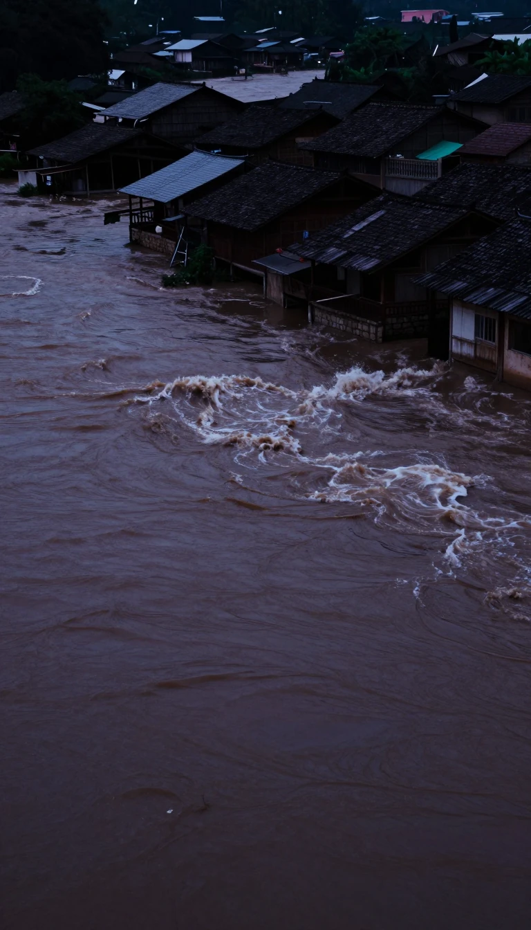
In short: The Hai River is a short, vital artery in northern China, yet its history is defined by chaotic flooding and shifting channels. Once a source of annual devastation, massive engineering projects have transformed this volatile waterway into a controlled system of canals, dams, and redirected outlets to protect the surrounding plains.
The Hai River system is an extensive network of tributaries in northern China that discharges into the Bo Hai through a short, 43-mile stretch from Tianjin. Its drainage basin covers nearly the entirety of Hebei province, alongside parts of Shanxi and Henan. The system’s hydrology is dictated by extreme seasonal variations; dry winters often reduce streams to a trickle, while heavy summer and autumn rains in the Taihang Mountains frequently trigger severe flooding in the flat, low-gradient plains below.
Historically, the Yongding River—a primary tributary—was colloquially known as the Wuding He, or the River with No Fixed Course, due to its tendency to constantly change its channel. By the end of the 17th century, extensive flood-control efforts led to it being renamed the Yongding He, meaning the River with a Permanently Fixed Course. Despite these early interventions, the river’s enormous silt load continued to clog channels, and flooding remained a persistent threat, famously submerging Tianjin for a month in 1939.
Modern management of the basin began in the early 1950s with the construction of the Guanting Dam. This project marked the start of a comprehensive conservancy program that integrated hydroelectric generation, irrigation, and flood control. Today, the system includes approximately 1,400 retention dams and massive earthworks. By mobilizing local labor to build embankments and create new, separate outlets for tributaries, engineers have successfully reduced the burden on the main Hai channel. These efforts are further supported by afforestation, soil conservation, and the widespread use of wells and pumping stations to mitigate the impact of drought across the region.
Opens the Intellect+ feed with this card first. Swipe up for the next one.
Sources
- Summary by Intellect · source: Hai River system | Map, Basin, & Facts | Britannica
- Also: Hai River
To cite this card, link to https://intellectplus.co.uk/app/places-hai-river.
How we source, check and correct cards: Editorial standards.
General information, not professional advice. Spotted an error? Flag the card or see corrections and complaints.
Intellect Plus is a visual educational discovery platform for exploring fascinating facts and ideas. Brain Food, Not Brain Rot. What is Intellect Plus?
Related
More in Bodies of water · More in Countries & Cities · Latest · A–Z · All topics
