The Nile of New South Wales: How a river shaped the history of Sydney
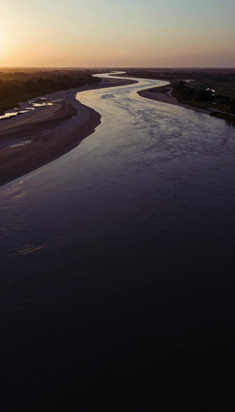
In short: Known to Indigenous custodians as Dyarubbin, the Hawkesbury River was once the vital breadbasket for colonial Sydney. Today, this winding waterway remains a rugged, tidal boundary that sustains isolated communities, supports a significant commercial fishery, and serves as a contentious flashpoint for modern flood management and environmental conservation efforts.
The Hawkesbury River system is a complex network of waterways that effectively encircles the Sydney metropolitan region. Formed at the confluence of the Nepean and Grose rivers, it travels approximately 120 kilometres to reach the Tasman Sea at Broken Bay. Its upper reaches, including the Nepean and Warragamba rivers, drain a vast area of the Great Dividing Range. Because the river is tidal as far west as Windsor, it lacks dams or locks, creating a unique environment where saltwater influence meets freshwater runoff.
Historically, the river was the lifeblood of the early Australian colony. In 1798, official David Collins famously dubbed it the 'Nile of New South Wales' due to the extreme fertility of its alluvial floodplains, which provided a reliable grain supply for the growing settlement. This agricultural importance led to the Hawkesbury and Nepean Wars, a series of violent conflicts between British forces and Indigenous clans—including the Darug, Darkinjung, Eora, and Kuringgai—that lasted from the late 1780s until the late 1810s. By the 19th century, the river served as a primary transportation artery for produce, though it eventually silted up, shifting the head of navigation for sea-going vessels to Sackville.
Today, the river remains a site of intense debate. The New South Wales government has proposed raising the Warragamba Dam wall by 17 metres to mitigate flood risks, a plan that has sparked significant public opposition. Critics, including the 'GIVE A DAM' movement, argue that the project would threaten the Blue Mountains World Heritage Area and that the Warragamba River contributes only about 15% of the total water volume to the system. Beyond these disputes, the river continues to support a commercial fishery valued at $6.3 million annually and remains the only access route for residents in rugged, roadless areas, where Australia's last riverboat postman still delivers mail.
Opens the Intellect+ feed with this card first. Swipe up for the next one.
Sources
- Summary by Intellect · source: Hawkesbury River
- Also: Wikidata — Hawkesbury River · CC0
- Also: www.britannica.com — Hawkesbury River | History, Course, & Map | Britannica
- Also: Wikidata — Hawkesbury River railway station · CC0
To cite this card, link to https://intellectplus.co.uk/app/places-hawkesbury-river.
How we source, check and correct cards: Editorial standards.
General information, not professional advice. Spotted an error? Flag the card or see corrections and complaints.
Intellect Plus is a visual educational discovery platform for exploring fascinating facts and ideas. Brain Food, Not Brain Rot. What is Intellect Plus?
Related
More in Bodies of water · More in Countries & Cities · Latest · A–Z · All topics
