How a vast Australian alluvial plain transformed into a global agricultural powerhouse
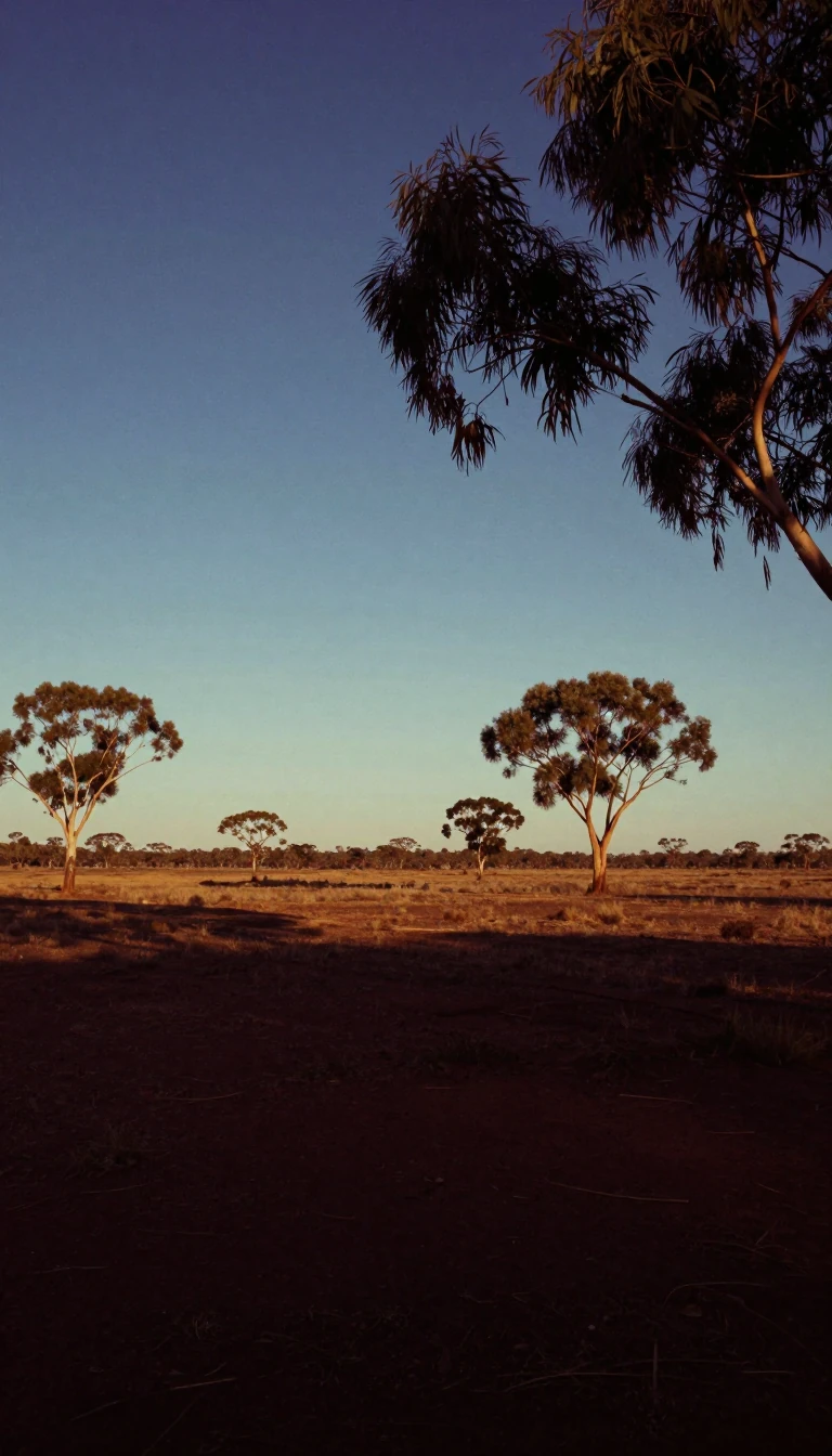
In short: Spanning over 26,000 square miles, the Riverina is a rural region in south-central New South Wales defined by its fertile plains and complex water systems. While once a pastoral frontier for early settlers, it has evolved into a diverse agricultural hub, sustained by massive irrigation infrastructure and strategic water management.
The Riverina is a landscape shaped by ancient geological forces and human ingenuity. Comprising level alluvial plains that transition into hilly terrain in the east, the region has supported human life for over 30,000 years. European interest began in the early 19th century, with explorers like John Oxley and Thomas Mitchell surveying the district in 1817 and 1836, respectively. By the 1830s, pastoralists arrived, drawn by the region's abundant natural fodder, setting the stage for a long history of agricultural development.
The true engine of the Riverina’s prosperity is its sophisticated irrigation network. While the region experiences variable rainfall—ranging from 12 inches in the northwest to 25 inches in the southeast—the reliance on natural precipitation is mitigated by major water storage projects. The Burrinjuck and Berembed reservoirs on the Murrumbidgee River, alongside the Hume Reservoir on the Murray, provide the essential water supply for intensive farming. Since 1949, these systems have been further bolstered by the Snowy Mountains Scheme, allowing for the cultivation of high-value crops like citrus, stone fruit, wine grapes, and rice.
Today, the region’s economy is a blend of traditional pastoralism and modern intensive horticulture. While mixed wheat-sheep farming remains a characteristic feature of the western plains, the southeastern slopes focus on arable farming, including dairying. This productivity is supported by a robust infrastructure of highways and rail lines, which connect major centers like Wagga Wagga, Albury, and Griffith to wider markets. Although mineral extraction—including tin, gypsum, and minor gold—exists, the Riverina remains fundamentally defined by its capacity to transform arid and semi-arid lands into a productive agricultural landscape.
Opens the Intellect+ feed with this card first. Swipe up for the next one.
Sources
- Summary by Intellect · source: Riverina | Gundagai, Wagga Wagga & Murrumbidgee | Britannica
- Also: Riverina
To cite this card, link to https://intellectplus.co.uk/app/places-riverina.
How we source, check and correct cards: Editorial standards.
General information, not professional advice. Spotted an error? Flag the card or see corrections and complaints.
Intellect Plus is a visual educational discovery platform for exploring fascinating facts and ideas. Brain Food, Not Brain Rot. What is Intellect Plus?
Related
More in Regions and country subdivisions · More in Countries & Cities · Latest · A–Z · All topics
