Why this quiet English borderland became a strategic fortress for centuries of warfare
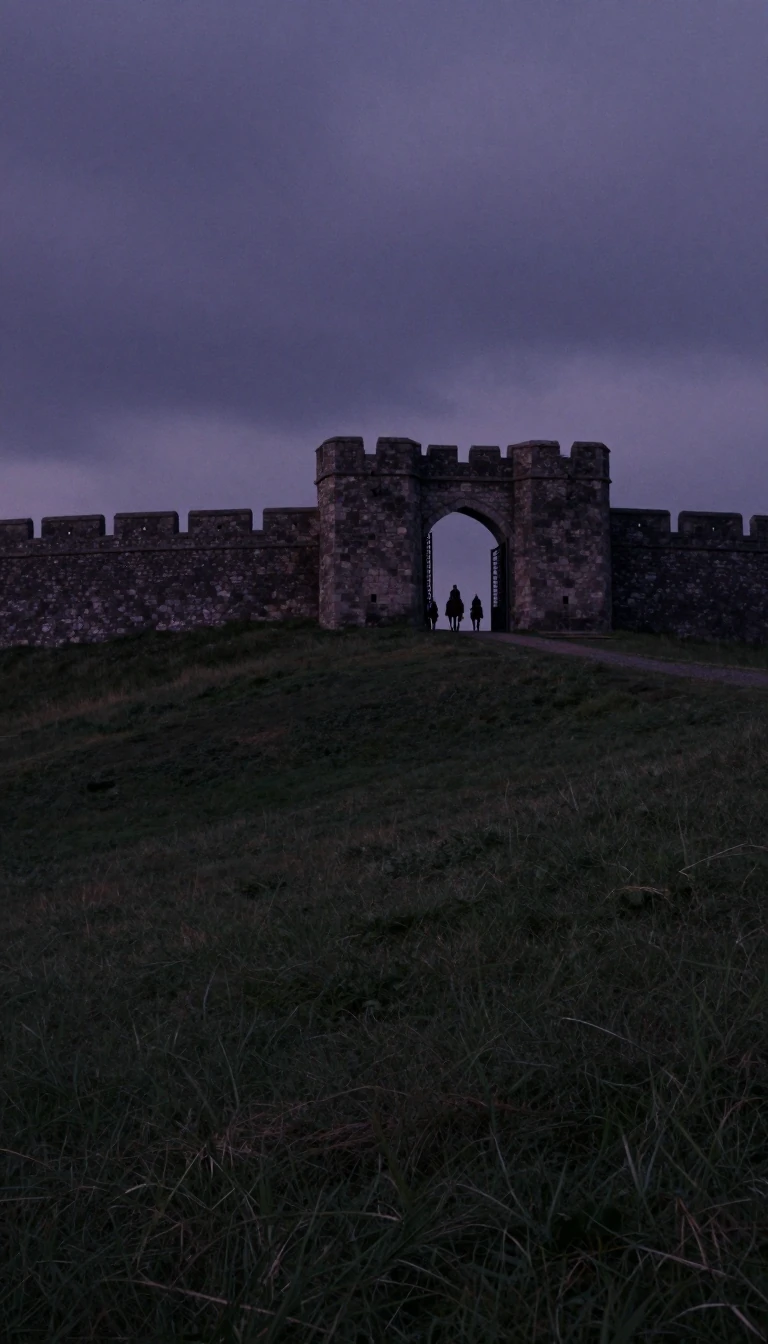
In short: Nestled against the Welsh border, Herefordshire is more than just a rural landscape of apple orchards and famous cattle. Its history is defined by its position as a contested frontier, where kings and conquerors built the first Norman fortresses on English soil to secure a volatile, shifting boundary.
Herefordshire, a unitary authority in west-central England, occupies a roughly circular area defined by the River Wye and its tributaries. Geographically, the region is a lowland plain framed by dramatic borders: the sandstone Black Mountains in the west, which rise over 2,200 feet, and the Malvern Hills in the east, composed of ancient Precambrian rocks. This varied terrain has long influenced its strategic importance, serving as a buffer between the kingdom of Mercia and Wales.
The county's identity was forged in conflict. By the 7th century, West Saxons had occupied the area, and in the 8th century, King Offa established a frontier marked by the famous earthwork, Offa’s Dyke. The region likely originated as a shire under King Athelstan in the early 10th century. Its proximity to Wales meant it was frequently the site of border warfare, notably under Gruffudd ap Llewelyn, until Harold Godwinson restored order in 1063. Following the Norman Conquest, the landscape was transformed by the construction of early strongholds like Richard’s Castle and Ewyas Harold.
Beyond its martial history, Herefordshire has maintained a distinct cultural and economic character. It remains a heavily wooded, agricultural region, renowned for its cider industry, hop production, and the world-famous Hereford cattle breed. Architectural remnants of its past are scattered throughout, from the Romanesque Church of St. Mary and St. David at Kilpeck to the fortified 13th-century mansion, Treago. Today, the county balances this rich heritage with modern agricultural processing and manufacturing, serving as a testament to its enduring role in the English landscape.
Opens the Intellect+ feed with this card first. Swipe up for the next one.
Sources
- Summary by Intellect · source: Herefordshire | England, Map, History, & Facts | Britannica
- Also: Herefordshire
To cite this card, link to https://intellectplus.co.uk/app/places-herefordshire.
How we source, check and correct cards: Editorial standards.
General information, not professional advice. Spotted an error? Flag the card or see corrections and complaints.
Intellect Plus is a visual educational discovery platform for exploring fascinating facts and ideas. Brain Food, Not Brain Rot. What is Intellect Plus?
Related
More in Regions and country subdivisions · More in Countries & Cities · Latest · A–Z · All topics
