Warwickshire: From Ancient Forested Heartland to the Modern Administrative County of Today
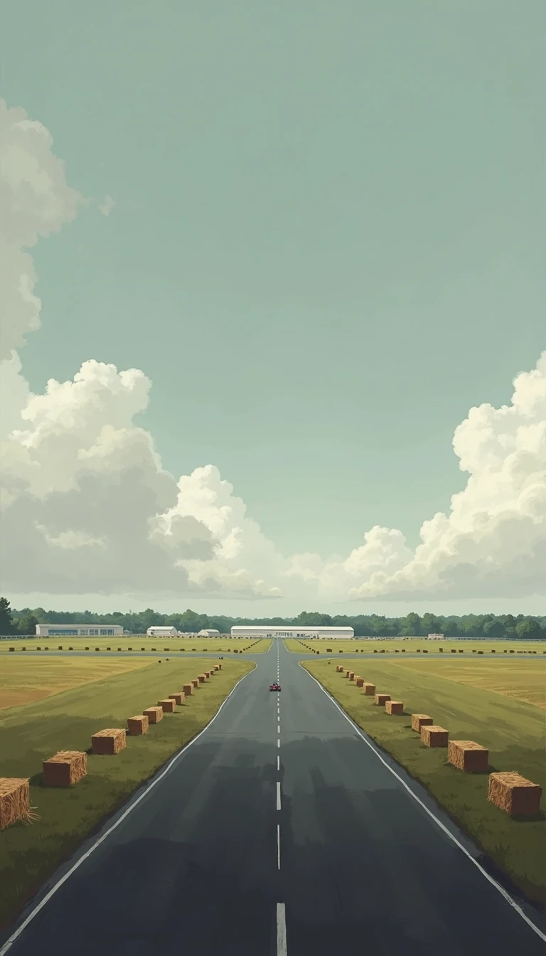
In short: Warwickshire is more than a map coordinate; it is a historic landscape defined by the ancient Forest of Arden and the open fields of Feldon. Once a kingdom of Mercia, this central English county has evolved from a medieval wool-producing hub into a modern administrative unit of rural pastures.
The identity of Warwickshire is rooted in a deep geographic divide that persisted well into the Norman era. The northern lands, known as Arden, were once heavily wooded, fostering isolated farmsteads and dispersed settlements. In contrast, the southern region, or Feldon, was characterized by open countryside and nucleated villages like Brailes and Kineton. This distinction shaped the early development of the county, which traces its administrative origins back to the 10th century.
Throughout the Middle Ages, Warwickshire became a site of significant architectural and strategic development. Norman castles were established at Warwick and Kenilworth, while the 14th century saw the construction of moated houses such as Baddesley Clinton Hall and Maxstoke Castle. By the late Middle Ages, the county’s economic landscape was diverse: the south thrived on wool production, while the north began to emerge as a center for metalworking and manufacturing, particularly in Birmingham and Coventry.
The 17th century brought conflict, with the 1642 Battle of Edgehill marking the first major clash of the English Civil Wars. Later, the 18th and 19th centuries transformed the region through industrialization. Canals and railways spurred the growth of Birmingham and Coventry, while Leamington Spa gained fame as a resort town after Queen Victoria’s 1838 visit. However, the 1974 creation of the West Midlands metropolitan county fundamentally altered Warwickshire’s borders, absorbing its most urbanized areas.
Today, the administrative county of Warwickshire covers 763 square miles and is primarily agricultural. It remains a landscape of woodlands and pastures, with five districts—Stratford-on-Avon, Warwick, North Warwickshire, Nuneaton and Bedworth, and Rugby. While the northern coalfields once drove industry, the modern county is defined by dairy farming, orchards, and the quiet legacy of its historic towns, which continue to attract visitors to sites associated with William Shakespeare, who was born in Stratford-upon-Avon in the 16th century.
Opens the Intellect+ feed with this card first. Swipe up for the next one.
Sources
- Summary by Intellect · source: Warwickshire | England, Map, History, & Facts | Britannica
- Also: Warwickshire
To cite this card, link to https://intellectplus.co.uk/app/places-warwickshire.
How we source, check and correct cards: Editorial standards.
General information, not professional advice. Spotted an error? Flag the card or see corrections and complaints.
Intellect Plus is a visual educational discovery platform for exploring fascinating facts and ideas. Brain Food, Not Brain Rot. What is Intellect Plus?
Related
More in Regions and country subdivisions · More in Countries & Cities · Latest · A–Z · All topics
