Why Hurricane Sally’s slow crawl across the Gulf Coast caused historic, record-breaking river flooding
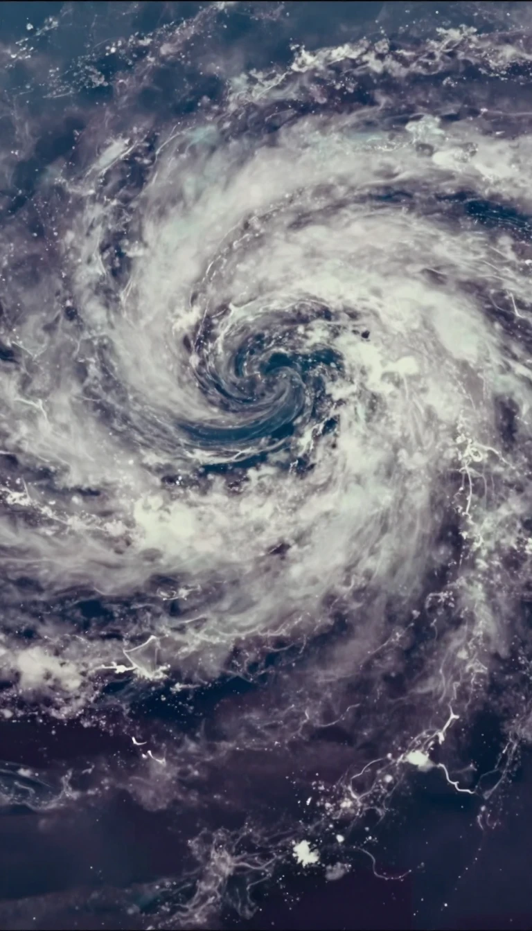
In short: Hurricane Sally was not just another storm; it was a masterclass in how speed, or the lack thereof, dictates destruction. By stalling over the Gulf Coast in September 2020, the Category 2 hurricane dumped relentless rainfall that shattered water level records, leaving behind a trail of sunken vessels and environmental damage.
Originating as a tropical wave near the Bahamas on September 9, 2020, Sally evolved into a tropical depression by September 11. As it moved toward the Gulf of Mexico, the storm encountered a collapse in steering currents. This loss of momentum proved critical; instead of passing quickly, Sally lingered over the Florida Panhandle and Alabama. This prolonged exposure to the storm's core allowed for an accumulation of rainfall that overwhelmed local river systems, resulting in historic flooding that surpassed levels recorded during Hurricane Katrina in 2005.
The aftermath of the storm necessitated a massive, multi-agency response. NOAA’s Navigation Response Team and the U.S. Coast Guard worked to clear waterways, identifying nearly 1,000 pollution targets, primarily sunken or stranded vessels. Aerial imagery proved essential for this recovery, with the National Geodetic Survey flying over 3,540 square kilometers to document the extent of the damage. This data was not only used to assess the impact on critical infrastructure and coastal communities but also to guide salvage operations while minimizing harm to protected species and cultural resources.
The storm’s impact was felt acutely by those monitoring the ocean environment. The CO-OPS facility in Gulf Breeze, Florida, suffered significant damage, including the loss of three docks and destruction of its boathouse. Despite these personal and professional setbacks, the team continued to provide real-time water level data, which reached the public through social media. In Pensacola, Florida, water levels reached 5.6 feet above Mean Higher High Water, the third-highest reading since 1923. Sally’s behavior serves as a stark reminder that in the context of Atlantic hurricanes, the duration of a storm's presence is often as dangerous as its wind speed.
Opens the Intellect+ feed with this card first. Swipe up for the next one.
Sources
- Summary by Intellect · source: Hurricane Sally: NOS Fiscal Year 2020 Year in Review
- Also: Hurricane Sally
- Also: Hurricane Sally Situation Reports | Department of Energy
To cite this card, link to https://intellectplus.co.uk/app/places-hurricane-sally.
How we source, check and correct cards: Editorial standards.
General information, not professional advice. Spotted an error? Flag the card or see corrections and complaints.
Intellect Plus is a visual educational discovery platform for exploring fascinating facts and ideas. Brain Food, Not Brain Rot. What is Intellect Plus?
Related
More in Bodies of water · More in Countries & Cities · Latest · A–Z · All topics
