The Inca Empire built a 40,000-kilometre road network without using a single wheel.
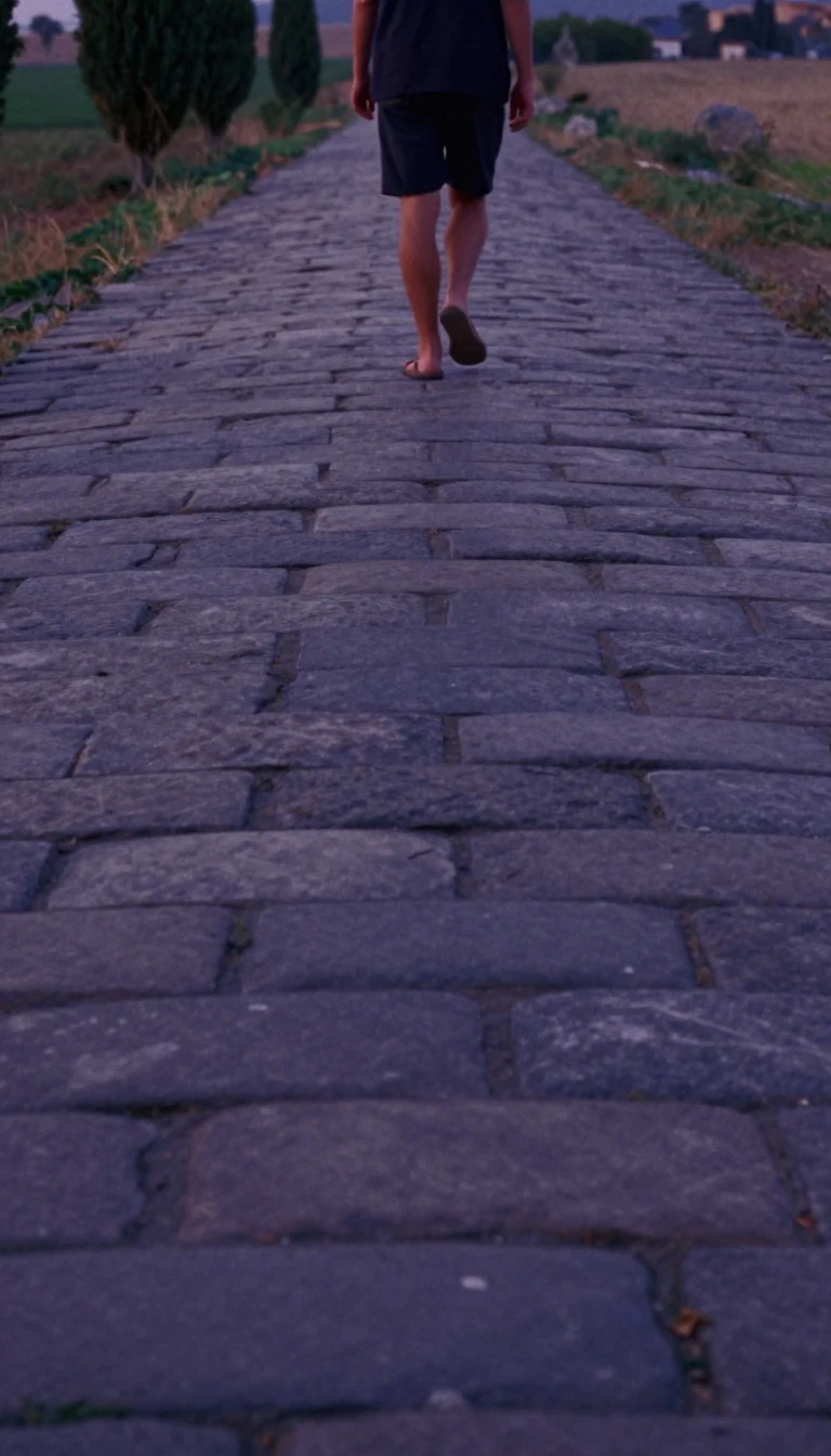
In short: Spanning six modern countries, the Qhapaq Ñan was the most advanced transportation system in pre-Columbian South America. This massive network of roads, bridges, and stairways connected the Andean peaks to the coast, facilitating the movement of armies, messengers, and goods across a vast empire—all without the wheel.
The Inca road system, or Qhapaq Ñan, stretched approximately 40,000 kilometres across diverse terrains, from the high puna grasslands above 4,000 metres to coastal plains. While the Incas expanded and formalized the network, they built upon foundations laid by earlier civilizations, such as the Wari and Tiwanaku cultures. The system was anchored by two primary north-south routes: one inland through the mountains and another along the coast, with numerous transversal branches connecting administrative centres, mines, and sacred sites.
Because the Inca Empire operated without wheeled transport, the roads were designed for foot traffic and llama caravans. Llamas, with their padded hooves, were ideal for navigating steep, paved mountain paths. To maintain political cohesion, the state established relay stations for chasquis—runners who carried information via quipus—and tambos, which provided food and shelter for travelers. Administrative hubs like Huánuco Pampa featured massive storage facilities called qullqas, holding thousands of cubic metres of grain and maize to support the military and local populations.
The roads were more than just infrastructure; they were symbols of imperial power and religious devotion. They provided access to high-altitude shrines, such as those on Mount Chañi, where the Incas performed rituals at elevations reaching nearly 6,000 metres. Today, only about 25 percent of the network remains visible, as much was lost to colonial abandonment, modern infrastructure, and conflict. However, a 2021 study suggests the system's influence persists, with communities living near the ancient routes still showing higher levels of nutrition and education today.
The system was strictly managed by the ruling elite, who controlled the redistribution of resources through a concept known as the vertical archipelago. While the roads were primarily for state use, evidence suggests some private barter occurred. After the Spanish conquest, the network fell into disuse, as the Conquistadors' horses and ox carts were ill-suited for the steep, stair-filled Inca paths, leading to the eventual decline of this monumental feat of engineering.
Opens the Intellect+ feed with this card first. Swipe up for the next one.
Sources
- Summary by Intellect · source: Inca road system
- Also: Wikidata — Inca road system · CC0
To cite this card, link to https://intellectplus.co.uk/app/places-inca-road-system.
How we source, check and correct cards: Editorial standards.
General information, not professional advice. Spotted an error? Flag the card or see corrections and complaints.
Intellect Plus is a visual educational discovery platform for exploring fascinating facts and ideas. Brain Food, Not Brain Rot. What is Intellect Plus?
Related
More in World Heritage Sites · More in Countries & Cities · Latest · A–Z · All topics
