The dense, historic crossroads of Nigeria's northwest frontier
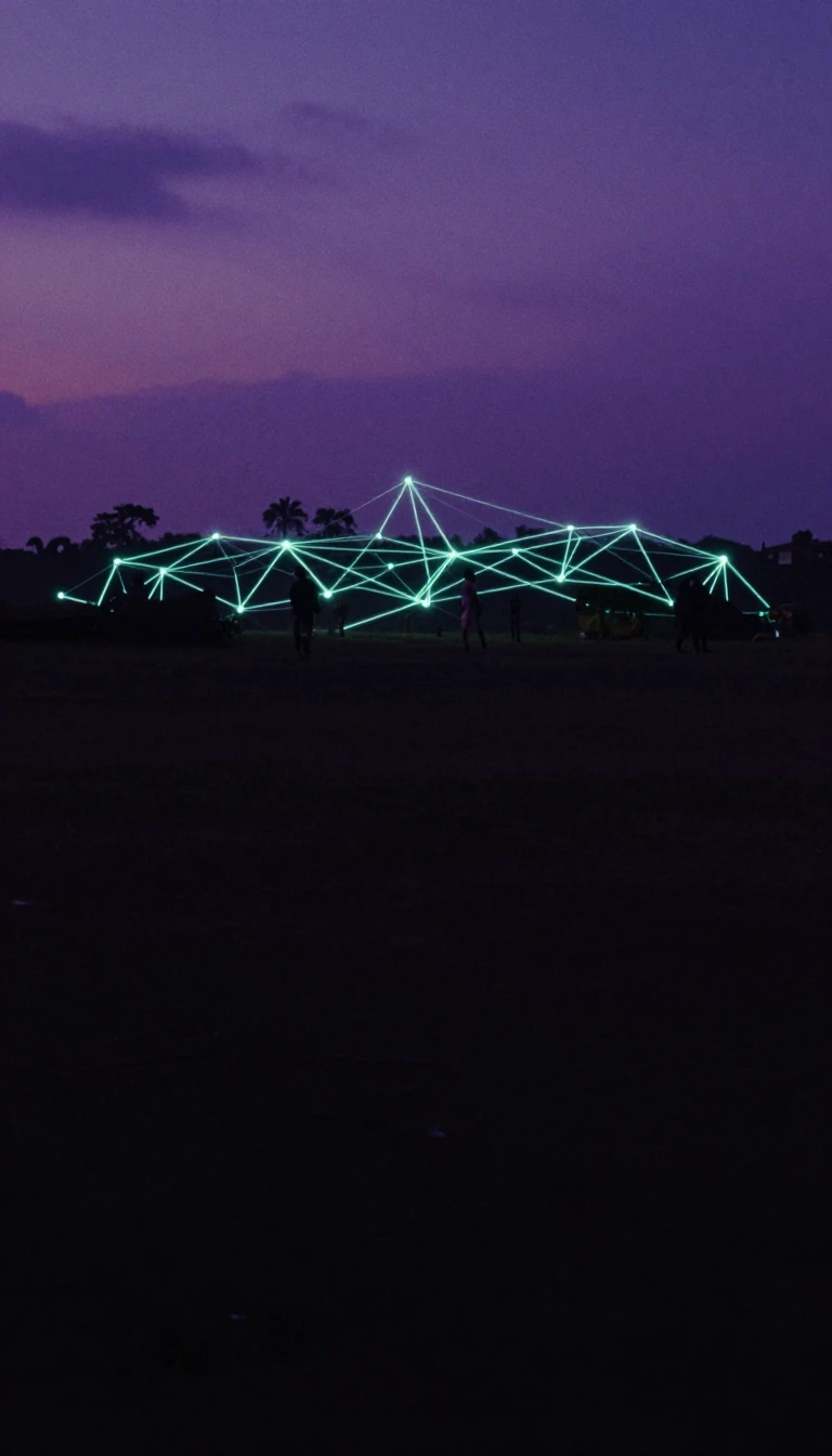
In short: With 9.3 million people packed into a relatively small area, Katsina State is a study in demographic intensity. Known as the 'Home of Hospitality,' this Nigerian state serves as a vital gateway between the Sahelian savanna and the Niger Republic.
Katsina State occupies a unique geographical position in Nigeria's northwestern geopolitical zone. While it ranks only 17th out of 36 states by land area—covering approximately 23,938 square kilometres—it is the third most populous state in the country. The landscape transitions from the West Sudanian savanna to the semi-desert Sahelian savanna, shaped by major water sources like the Bunsuru, Gada, and Sokoto rivers.
The region's history is defined by its role as a center of commerce and faith. During the fifteenth and sixteenth centuries, the cities of Daura and Katsina emerged as significant hubs for Islamic learning and trade. Following the Fulani jihad in the early nineteenth century, these areas were established as emirates within the Sokolot Caliphate. This deep-rooted Islamic heritage remains central to the state today, with 79% of the population practicing Islam, though Christian and traditionalist minorities also reside here.
Economically, the state relies heavily on agriculture, producing crops such as millet, sorghum, maize, rice, cotton, and groundnuts, alongside significant livestock farming of cattle, goats, and sheep. However, the region faces modern complexities. Since the mid-2010s, the state has been severely impacted by terrorism and banditry, including a 2020 incident in Kankara where Boko Haram kidnapped over 300 children. Despite these challenges, Katsina remains an educational hub, hosting institutions like Al-Qalam University—the first Islamic university in Nigeria—and Umaru Musa Yar'adua University.
Administratively, the state was carved out of the northern portion of Kaduna State in 1987. It is currently divided into 34 local government areas and maintains vital international connections via eight roads leading to the Republic of Niger, including parts of the Trans-African Highway network.
Opens the Intellect+ feed with this card first. Swipe up for the next one.
Sources
- Summary by Intellect · source: Katsina State
- Also: Wikidata — Katsina State · CC0
To cite this card, link to https://intellectplus.co.uk/app/places-katsina-state.
How we source, check and correct cards: Editorial standards.
General information, not professional advice. Spotted an error? Flag the card or see corrections and complaints.
Intellect Plus is a visual educational discovery platform for exploring fascinating facts and ideas. Brain Food, Not Brain Rot. What is Intellect Plus?
Related
More in Regions and country subdivisions · More in Countries & Cities · Latest · A–Z · All topics
