The narrow waterway where international diplomacy meets a hidden maritime graveyard
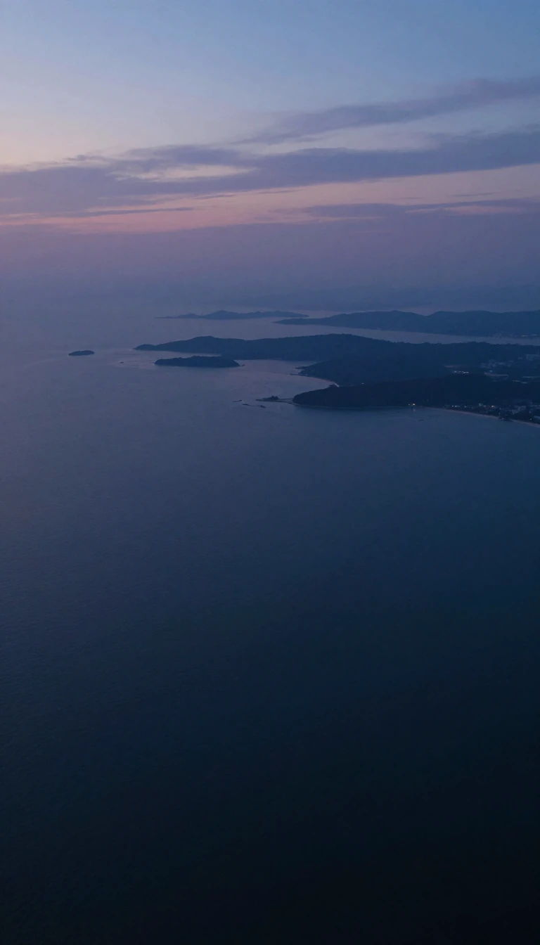
In short: Spanning the gap between Russia and Japan, La Pérouse Strait is a vital corridor connecting the Sea of Japan to the Sea of Okhotsk. Beyond its strategic value, this 42-kilometer-wide passage holds a history of whaling disasters, sunken submarines, and a unique legal workaround designed to accommodate nuclear-armed naval vessels.
Named for the French naval officer Jean-François de Galaup, who charted the region during his 1787 global expedition, the strait serves as a critical maritime boundary. It separates the Russian island of Sakhalin from the Japanese island of Hokkaidō. While its width is generally cited at 42 kilometers, the passage varies in depth between 40 and 140 meters, with its shallowest point—just 60 meters deep—located at the narrowest western section between Cape Krillion and Cape Sōya.
The strait has long been a site of significant maritime activity and peril. During the mid-19th century, American whaling fleets frequently traversed these waters while migrating between hunting grounds. This transit was not without risk; in 1848, the Nantucket-based vessel David Paddack met its end here while carrying a full cargo. Decades later, the area became a theater of conflict during the Second World War. In October 1943, the American submarine USS Wahoo was lost in the strait, its wreckage remaining undiscovered until it was finally identified in 2006.
Today, the strait remains a point of geopolitical nuance. Japan restricts its territorial waters to three nautical miles rather than the standard twelve. This deliberate choice allows United States Navy warships—including those carrying nuclear armaments—to pass through the international waters of the strait without violating Japan's strict domestic prohibition against nuclear weapons. Proposals to physically bridge or tunnel beneath these turbulent, ice-prone waters continue to emerge, aiming to link the Trans-Siberian Railroad with the Japanese archipelago, though such infrastructure remains a vision for the future.
Opens the Intellect+ feed with this card first. Swipe up for the next one.
Sources
- Summary by Intellect · source: La Pérouse Strait
- Also: Wikidata — La Pérouse Strait · CC0
- Also: www.britannica.com — La Perouse Strait | Sea of Japan, Maritime Boundary, Kuril Islands | Britannica
To cite this card, link to https://intellectplus.co.uk/app/places-la-p-rouse-strait.
How we source, check and correct cards: Editorial standards.
General information, not professional advice. Spotted an error? Flag the card or see corrections and complaints.
Intellect Plus is a visual educational discovery platform for exploring fascinating facts and ideas. Brain Food, Not Brain Rot. What is Intellect Plus?
Related
More in Bodies of water · More in Countries & Cities · Latest · A–Z · All topics
