The Nyainqêntanglha Mountains act as a massive, high-altitude watershed dividing Tibet’s diverse drainage systems.
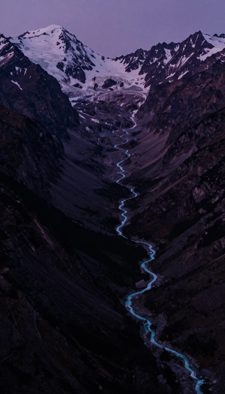
In short: Spanning hundreds of kilometers across the Tibetan Plateau, the Nyainqêntanglha range serves as a critical barrier between the Yarlung Zangbo River valley and the inland salt lakes of the north. This rugged, glaciated landscape creates distinct vertical ecological zones, ranging from arid, grass-covered slopes to lush, alpine environments.
The Nyainqêntanglha Mountains form the eastern section of a complex mountain system in the Tibet Autonomous Region. To the west, this system splits into the Nganglong and Kailas ranges, the latter being notably more rugged and heavily glaciated. East of longitude 88° E, these chains converge into the Nyainqêntanglha proper, creating a high-altitude divide that separates the Yarlung Zangbo River valley in the south from the endorheic basins of the high plateau to the north.
The range’s topography is defined by extreme verticality. Many sections of the southern slopes rise above 20,000 feet (6,100 meters), with individual peaks northwest of Lhasa reaching well beyond 23,000 feet (7,000 meters). This elevation creates a clear division of natural environments, where the southern slopes are comparatively well-watered and rich in grasses and shrubs, providing vital mountain pastures. In contrast, the northern slopes vary significantly; in the west, they are generally dry and covered with hardy grasses, while the eastern end benefits from richer alpine vegetation as it drains into the headwaters of the Salween River.
Beyond its ecological importance, the range has become a vital corridor for modern infrastructure. The Sanxiong Pass, situated between Yangbajain and Nagqu, serves as the primary route across the mountains. This path facilitates the main road from Lhasa to Golmud in the Qaidam Basin. Since 2006, a new rail line has further integrated Lhasa with the rest of China, underscoring the range's role as both a formidable geographical barrier and a necessary passage for connectivity in the region.
Opens the Intellect+ feed with this card first. Swipe up for the next one.
Sources
- Summary by Intellect · source: Nyainqêntanglha Mountains | Tibetan Plateau, Himalayas, Nature Reserve | Britannica
- Also: Nyenchen Tanglha Mountains
To cite this card, link to https://intellectplus.co.uk/app/places-nyenchen-tanglha-mountains.
How we source, check and correct cards: Editorial standards.
General information, not professional advice. Spotted an error? Flag the card or see corrections and complaints.
Intellect Plus is a visual educational discovery platform for exploring fascinating facts and ideas. Brain Food, Not Brain Rot. What is Intellect Plus?
Related
More in Land relief · More in Countries & Cities · Latest · A–Z · All topics
