How a small agricultural town became a vital piece of the Metro Vancouver landscape
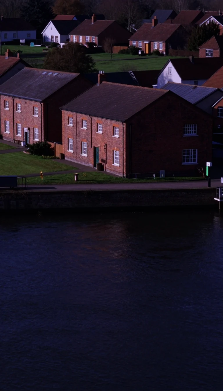
In short: Pitt Meadows is a city defined by water, from the world's largest freshwater tidal lake to the intricate network of dikes protecting its farmland. Once a quiet dairy community, this Lower Fraser Valley municipality now balances its agricultural roots with rapid urban development and a surprising cinematic history.
Incorporated as a city in 2007, Pitt Meadows occupies 86.34 square kilometres within Metro Vancouver. Its geography is dominated by the Fraser, Pitt, and Alouette Rivers, which have historically provided transportation and irrigation. The city is uniquely shaped by its environment; 86% of its landmass is protected within the Agricultural Land Reserve, and much of the area lies within a floodplain. To manage this, the city maintains 64 kilometres of dikes, which double as a multi-use trail system for walking, cycling, and equestrian use.
The region's history is deeply tied to its waterways and the Canadian Pacific Railway, which arrived in 1885. While Indigenous peoples have resided in the area for approximately 1000 years, European settlement began in the 1870s. By 1914, when the municipality was separately incorporated, it was a small community of fewer than 250 people supplying dairy and produce to nearby cities. Following World War II, a group of Dutch farmers reclaimed significant low-lying land, and the city eventually joined the Greater Vancouver Water District in 1948, the same year a major flood caused by rapid snowmelt devastated parts of the region.
Today, Pitt Meadows is a blend of rural heritage and modern infrastructure. It is home to the Pitt Meadows Regional Airport, opened in 1963, and serves as a commuter hub connected by the West Coast Express and major highway bridges like the Golden Ears Bridge, which opened in 2009. Beyond its infrastructure, the city has gained fame as a filming location for productions like Happy Gilmore and Smallville. Despite its growth, the city remains committed to its Green Zone, which encompasses 82% of its land, including vital wildlife habitats like the Widgeon Valley National Wildlife Area.
Opens the Intellect+ feed with this card first. Swipe up for the next one.
Sources
- Summary by Intellect · source: Pitt Meadows
- Also: Wikidata — Pitt Meadows · CC0
- Also: Wikidata — Pitt Meadows · CC0
To cite this card, link to https://intellectplus.co.uk/app/places-pitt-meadows.
How we source, check and correct cards: Editorial standards.
General information, not professional advice. Spotted an error? Flag the card or see corrections and complaints.
Intellect Plus is a visual educational discovery platform for exploring fascinating facts and ideas. Brain Food, Not Brain Rot. What is Intellect Plus?
Related
More in Bodies of water · More in Countries & Cities · Latest · A–Z · All topics
