How the Platte River earned its name from the Otoe people's flat water
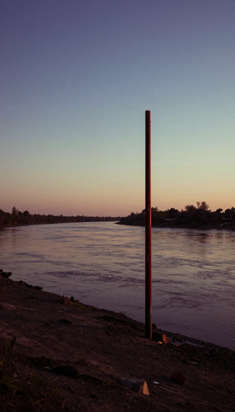
In short: The Platte River is a defining feature of the American Great Plains, yet its identity is often misunderstood. Far from a simple, uniform waterway, this massive system acts as a vital artery for the central United States, carrying snowmelt from the high Rockies across a vast, semi-arid landscape.
Formed at the city of North Platte, Nebraska, the Platte River proper spans 310 miles. However, when tracing its length back to its furthest source via the North Platte tributary, the system extends over 1,050 miles. Its origins lie in the high-altitude snowmelt of the eastern Rocky Mountains, where the North and South Platte rivers begin their journey. The North Platte originates in Colorado’s North Park valley, while the South Platte forms in the South Park basin, eventually meeting its counterpart to feed the Missouri River watershed.
The river’s name reflects its physical character. French explorers arriving around 1714 documented the Otoe term for the river, which translates to flat water. This description aligns with the French phrase riviere platte, which likely solidified the modern name. Across much of its Nebraska course, the river manifests as a wide, shallow, braided stream characterized by sandy beds and frequent islands. This unique morphology stands in stark contrast to the swifter, narrower channels found in the mountainous reaches of Colorado and Wyoming.
The Platte system has been heavily engineered to sustain the surrounding region. The North Platte has been dammed approximately eight times, while the South Platte drainage is even more intensely managed, with roughly 20 dams for storage and irrigation and potentially over 1,000 across its entire tributary network. These interventions have significantly altered the river's historical reach; once up to a mile wide in many sections, the North Platte is now notably smaller in western Nebraska due to extensive water diversion for agricultural use.
Historically, the river valley served as a critical corridor for westward expansion, providing a path for major routes like the Oregon, California, Mormon, and Bozeman trails. Today, it remains a vital lifeline for arid eastern Colorado and Nebraska, acting as a green oasis that supports diverse riparian forests, including cottonwood and box elder, amidst the surrounding grasslands of the Great Plains.
Opens the Intellect+ feed with this card first. Swipe up for the next one.
Sources
- Summary by Intellect · source: Platte River | Nebraska, Map, & Facts | Britannica
- Also: Platte River
To cite this card, link to https://intellectplus.co.uk/app/places-platte-river.
How we source, check and correct cards: Editorial standards.
General information, not professional advice. Spotted an error? Flag the card or see corrections and complaints.
Intellect Plus is a visual educational discovery platform for exploring fascinating facts and ideas. Brain Food, Not Brain Rot. What is Intellect Plus?
Related
More in Bodies of water · More in Countries & Cities · Latest · A–Z · All topics
