How a Strategic Mountain Hub Became the Capital of Afghanistan's Baghlan Province
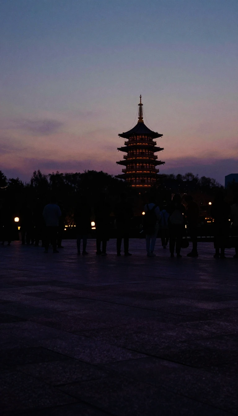
In short: Nestled in the Hindu Kush, Puli Khumri evolved from a regional transit point into a vital administrative center. Its history is defined by its position on the Afghanistan Ring Road, industrial ambitions, and a turbulent path through decades of conflict, shifting from a Soviet-era logistical node to a modern provincial capital.
Puli Khumri sits at an elevation of approximately 920 meters within the Hindu Kush mountain range. Its transformation into the capital of Baghlan Province was a calculated political maneuver in the late 1980s. Influenced by the power of Sayed Mansur Naderi, the government of Mohammad Najibullah formally relocated the provincial seat from the city of Baghlan to Puli Khumri in March 1989. The move was designed to leverage the city's strategic location along the Kabul-Mazar highway, enhancing public access to administrative offices.
The city has long served as an industrial and economic anchor for the region. In 1954, it became home to Afghanistan’s first cement factory, the Ghori I facility, established with Czechoslovakian support. Beyond mining and cement, the local economy relies on textile production, trade, and agriculture, with wheat, rice, and spices serving as primary crops. Two local dams provide essential electricity, with transmission lines extending to support the power needs of Kabul.
Puli Khumri’s history is also marked by significant volatility. In August 1988, a massive explosion at a nearby Soviet ammunition depot created a mushroom cloud that eyewitnesses compared to a nuclear detonation. In more recent years, the city has been a frequent site of conflict, including a 2019 assault by the Taliban and a 2023 suicide bombing at a Shia mosque. Despite these challenges, the city remains a critical transit hub, connecting northern Afghanistan to the rest of the country via the Afghanistan Ring Road.
Today, the city is divided into six districts, covering 181 square kilometers. While agriculture remains the dominant land use, accounting for 65 percent of the area, the city supports a diverse population and a growing housing stock. As of 2015, there were 24,586 dwelling units, reflecting the urban density of a city that continues to serve as a vital, if contested, link in the Afghan landscape.
Opens the Intellect+ feed with this card first. Swipe up for the next one.
Sources
- Summary by Intellect · source: Puli Khumri
- Also: Wikidata — Puli Khumri · CC0
To cite this card, link to https://intellectplus.co.uk/app/places-puli-khumri.
How we source, check and correct cards: Editorial standards.
General information, not professional advice. Spotted an error? Flag the card or see corrections and complaints.
Intellect Plus is a visual educational discovery platform for exploring fascinating facts and ideas. Brain Food, Not Brain Rot. What is Intellect Plus?
Related
More in Asia · More in Countries & Cities · Latest · A–Z · All topics
