From Ancient Monastery to Modern Industrial Hub: The Evolution of Rahim Yar Khan
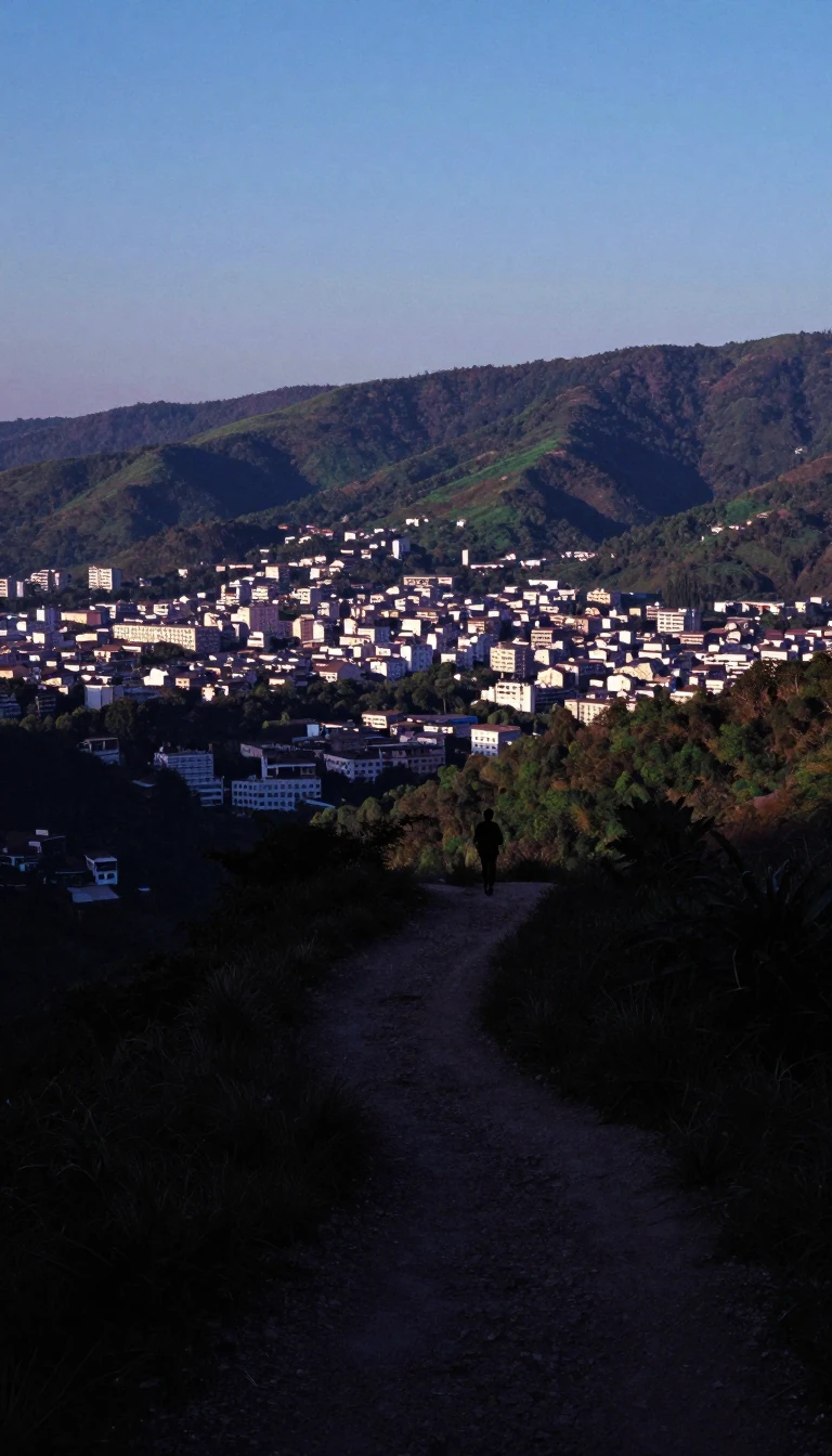
In short: Nestled between the Indus River and the Cholistan Desert, this Pakistani city has transformed from a historic site of 5,000-year-old ruins into a thriving agricultural powerhouse. Once known as Noshehra, it now serves as a vital junction for modern trade, transport, and education in the heart of Southern Punjab.
The history of the region surrounding Rahim Yar Khan stretches back millennia. Just eight kilometers from the city center lies Pattan Minara, an ancient tower believed to be the remnants of a monastery dating back 5,000 years. Archaeological evidence suggests the structure was built during the Mauryan period, specifically around 250 BC, within the Hakrra valley civilization. This deep historical footprint contrasts with the city's more recent administrative identity.
Originally established in 1751 under the name Noshehra, the town was part of the Mughal Empire's Multan province. By 1881, railway officials sought to rename the settlement to avoid confusion with another town of the same name. Sadeq Mohammad Khan IV subsequently honored his son by renaming the area Rahim Yar Khan. The city remained under the jurisdiction of the Bahawalpur State until 1943, when it was officially designated as an independent district.
Today, the city is a significant economic engine for Southern Punjab, with 65% of its residents engaged in agricultural labor. The local climate, characterized by hot, dry summers and mild winters, supports the cultivation of cotton, wheat, rice, and sugarcane, alongside a reputation for producing high-quality mangoes. This agricultural base is bolstered by a robust infrastructure, including the M-5 Motorway, the ML-1 railway line, and the Shaikh Zayed International Airport, which features a runway capable of handling Boeing 747 aircraft.
Demographically, the city is a diverse tapestry, with 97.44% of its 519,261 residents identifying as Muslim. Linguistic variety is also prominent, with Punjabi spoken by 52.9% of the population, followed by Saraiki at 32.9% and Urdu at 9.0%. As the capital of its district, the city continues to expand its educational and industrial reach, hosting campuses for the Islamia University of Bahawalpur and the Khawaja Fareed University of Engineering and Information Technology.
Opens the Intellect+ feed with this card first. Swipe up for the next one.
Sources
- Summary by Intellect · source: Rahim Yar Khan
- Also: Wikidata — Rahim Yar Khan · CC0
- Also: Wikidata — Rahim Yar Khan District · CC0
To cite this card, link to https://intellectplus.co.uk/app/places-rahim-yar-khan.
How we source, check and correct cards: Editorial standards.
General information, not professional advice. Spotted an error? Flag the card or see corrections and complaints.
Intellect Plus is a visual educational discovery platform for exploring fascinating facts and ideas. Brain Food, Not Brain Rot. What is Intellect Plus?
Related
More in Asia · More in Countries & Cities · Latest · A–Z · All topics
