The Red River is a 1,149-kilometer waterway that helped shape the South China Sea.
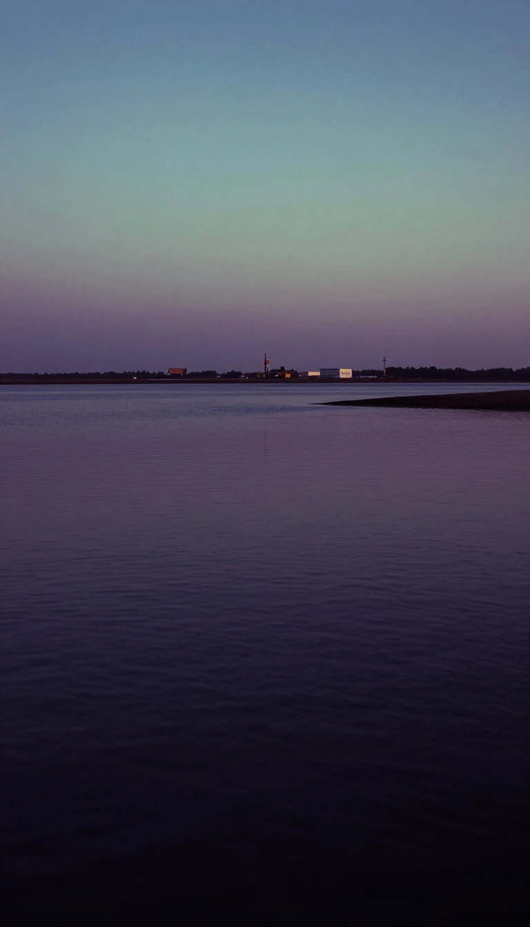
In short: Flowing from the mountains of Yunnan to the Gulf of Tonkin, the Red River is defined by its heavy silt and violent seasonal floods. Once considered a vital trade artery for French explorers, this river system remains a critical agricultural engine for Vietnam, protected by an elaborate network of dikes.
The Red River, known as the Yuan in China and the Sông Cái in Vietnam, originates in the mountains south of Dali. It travels 1,149 kilometers through Yunnan province, crossing into Vietnam at Lào Cai. Its distinctive reddish-brown color comes from the heavy load of silt it carries, a feature that has historically made it both a fertile agricultural resource and a source of notorious, violent flooding. The river's geological impact is profound; the associated Red River Fault is believed to have been instrumental in the formation of the South China Sea at least 37 million years ago.
In the 19th century, the river was viewed by French authorities as a potential commercial gateway to China. Before the 1910 opening of the Kunming–Haiphong Railway, it served as the primary trade route between French Indochina and Yunnan. Travel was arduous, often requiring 28 days to reach Kunming from Haiphong. The journey involved 16 days by steamer and small boat to Manhao, followed by 12 days of overland travel. Navigation was highly dependent on the season; while descending from Manhao to Lào Cai could take as little as 10 hours, the return trip against the current could last up to a month.
Today, the river's landscape is heavily modified by human engineering. To manage its volatile flow and support the vast rice paddies of the Red River Delta, the region relies on a complex system of dikes and levees. Furthermore, the river has been harnessed for power, with several hydroelectric dams constructed in Yunnan, such as the Nansha and Madushan dams. In Vietnam, the Thác Bà Dam, built in 1972, remains a significant example of this infrastructure. The river's estuary, a vital Ramsar site, continues to serve as a crucial ecological anchor within the Xuân Thủy National Park.
Opens the Intellect+ feed with this card first. Swipe up for the next one.
Sources
- Summary by Intellect · source: Red River (Asia)
To cite this card, link to https://intellectplus.co.uk/app/places-red-river-asia.
How we source, check and correct cards: Editorial standards.
General information, not professional advice. Spotted an error? Flag the card or see corrections and complaints.
Intellect Plus is a visual educational discovery platform for exploring fascinating facts and ideas. Brain Food, Not Brain Rot. What is Intellect Plus?
Related
More in Bodies of water · More in Countries & Cities · Latest · A–Z · All topics
