South Kivu is a mountainous Congolese province defined by deep lakes and mineral wealth
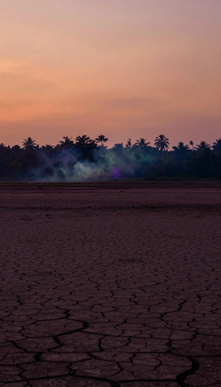
In short: Spanning over 69,000 square kilometers, South Kivu is a rugged landscape of volcanic peaks and equatorial forests. While its soil holds vast deposits of gold and coltan, the region is also home to Lake Kivu, which hides an immense, potentially hazardous reservoir of methane gas beneath its surface.
Located in the eastern Democratic Republic of the Congo, South Kivu is a province of dramatic geological contrasts. Its eastern border is defined by the Albertine Rift, a region characterized by the Mitumba Mountains and two of Africa's deepest lakes: Lake Kivu and Lake Tanganyika. While the western territories, such as Shabunda, transition into the low-lying Congo River basin, the east remains dominated by high-altitude terrain. Mount Kahuzi, the province's highest point, reaches 3,308 meters above sea level, contributing to the temperate climate found in cities like the capital, Bukavu.
The province's geology is a primary driver of its economy and historical development. More than 70% of the region consists of basement terrains dating to the Middle Carboniferous period, which are rich in minerals including cassiterite, wolframite, and coltan. These resources have been extracted since the colonial era, though the region has faced persistent instability since the mid-1990s. Beyond solid minerals, the deep waters of Lake Kivu hold roughly 45 billion cubic meters of dissolved methane. This gas represents both a significant potential energy source for the region and a serious environmental risk.
Administratively, South Kivu is a complex mosaic of eight territories, chiefdoms, and sectors that balance modern state governance with traditional hereditary systems. The population, estimated at over 8.1 million in 2024, is ethnically diverse, consisting of various Bantu-speaking groups alongside Pygmy communities and more recent migrant populations. This demographic density is highly uneven, with highland areas like Kabare and Walungu hosting significantly more residents than the vast, sparsely populated forests of the west. Today, the province remains a critical crossroads for cross-border migration and humanitarian efforts, shaped by its proximity to Rwanda, Burundi, and Tanzania.
Opens the Intellect+ feed with this card first. Swipe up for the next one.
Sources
- Summary by Intellect · source: South Kivu
- Also: Wikidata — South Kivu · CC0
- Also: Wikidata — South Kivu Football League · CC0
To cite this card, link to https://intellectplus.co.uk/app/places-south-kivu.
How we source, check and correct cards: Editorial standards.
General information, not professional advice. Spotted an error? Flag the card or see corrections and complaints.
Intellect Plus is a visual educational discovery platform for exploring fascinating facts and ideas. Brain Food, Not Brain Rot. What is Intellect Plus?
Related
More in Africa · More in Countries & Cities · Latest · A–Z · All topics
