The Trinity River was once envisioned as a massive shipping channel for inland Texas
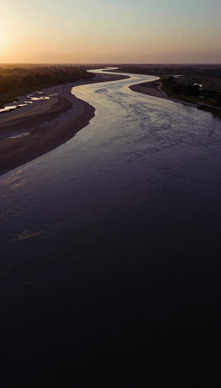
In short: Spanning 710 miles across Texas, the Trinity River has been a source of both life and destruction. While modern projects aim to transform its floodplains into vast urban parks, early 20th-century engineers once dreamed of turning the waterway into a major shipping route, leaving behind a trail of abandoned locks.
The Trinity River, which rises in northern Texas, is the largest river basin contained entirely within the state. Its name has a complex history; while early Spanish explorer Alonso de León dubbed it La Santísima Trinidad in 1690, indigenous names like the Caddo term Akokisa—meaning river people—predate this colonial designation. The river is formed by the convergence of the West and Elm Forks in Dallas, eventually flowing southeast through pine forests and fertile floodplains before emptying into Trinity Bay, an inlet of the Gulf of Mexico.
At the turn of the 20th century, the river was the subject of ambitious federal plans to create a navigable shipping channel. Engineers intended to construct 36 locks and dams between the Gulf and Dallas. Construction began, but the project stalled after World War I. Only seven locks were completed, and today they remain as silent relics of an unrealized industrial vision. Instead of shipping, the river’s modern narrative is defined by flood control and urban development. The 1908 flood, which reached a depth of 52.6 feet and caused widespread devastation, fundamentally shifted the city's relationship with the water, leading to the construction of massive levees and the iconic Houston Street Viaduct.
Today, the river is central to major civic initiatives. The Trinity River Corridor Project in Dallas seeks to create one of the nation's largest urban parks, while Fort Worth’s Trinity River Vision aims to expand its central business district. Beyond these urban goals, the river remains an ecological powerhouse, providing half of the freshwater inflows into Galveston Bay. As water demands grow in the Dallas-Fort Worth and Houston metropolitan areas, the state faces the ongoing challenge of balancing these competing urban needs with the preservation of the river's vital natural resources.
Opens the Intellect+ feed with this card first. Swipe up for the next one.
Sources
- Summary by Intellect · source: Trinity River (Texas)
- Also: River Basins - Trinity River Basin | Texas Water Development Board
To cite this card, link to https://intellectplus.co.uk/app/places-trinity-river-texas.
How we source, check and correct cards: Editorial standards.
General information, not professional advice. Spotted an error? Flag the card or see corrections and complaints.
Intellect Plus is a visual educational discovery platform for exploring fascinating facts and ideas. Brain Food, Not Brain Rot. What is Intellect Plus?
Related
More in Bodies of water · More in Countries & Cities · Latest · A–Z · All topics
