The road that conquered the Continental Divide without the snow
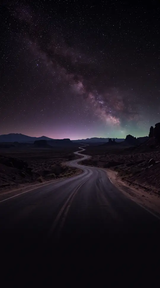
In short: Before the Interstate system, U.S. Route 80 was the premier year-round transcontinental path. While other routes were often blocked by winter snow, this southern artery offered a reliable, albeit scorching, passage across the American West. It remains a masterclass in geographic navigation and early 20th-century engineering.
In the early 1920s, the American road network was a 'confusing jumble' of over 250 named trails like the Lincoln Highway and the Yellowstone Trail. The Joint Board on Interstate Highways was established by the Secretary of Agriculture during April 1925 to establish structure. This board developed the standardized U.S. shield and a numbering system, officially adopting the U.S. numbered plan in November 1926. U.S. 80 emerged as a primary component of this new grid, eventually reaching its first official description in April 1927.
The route was strategically designed for year-round travel. A 1927 press release by the Bureau of Public Roads highlighted that because of its southern latitude and relatively low altitudes, Route 80 was 'never blocked by snow.' However, this geographic advantage came with a trade-off: the highway was noted for being 'uncomfortably hot' during the summer months as it traversed the Southwestern deserts. It was marketed as a superior transcontinental option because it was more surfaced than other major highways of the era.
The journey was a feat of varied topography. From Dallas, the road ascended to the Rocky Mountains, reaching a summit about three miles east of Allamore, Texas, at 4,640 feet. It then dropped to the Rio Grande Valley at 3,700 feet before climbing to the Continental Divide at Mule Pass, Arizona, reaching an altitude of 6,035 feet. From there, it plummeted rapidly to the Colorado River at Yuma, where the elevation dropped to less than 200 feet. Finally, it climbed the coast range to a summit of 4,103 feet before reaching San Diego.
Opens the Intellect+ feed with this card first. Swipe up for the next one.
Sources
- Summary by Intellect · source: U.S. Route 80 The Dixie Overland Highway | FHWA
- Also: U.S. Route 80
To cite this card, link to https://intellectplus.co.uk/app/places-u-s-route-80.
How we source, check and correct cards: Editorial standards.
General information, not professional advice. Spotted an error? Flag the card or see corrections and complaints.
Intellect Plus is a visual educational discovery platform for exploring fascinating facts and ideas. Brain Food, Not Brain Rot. What is Intellect Plus?
Related
More in Bodies of water · More in Countries & Cities · Latest · A–Z · All topics
