From swampy lowlands to snow-capped volcanoes, the Waikato region defies simple categorization.
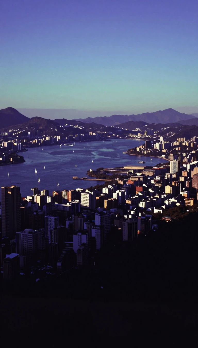
In short: Spanning the North Island of New Zealand from the Tasman Sea to the South Pacific, the Waikato region is a landscape of extremes. Once a vast, swampy wilderness, it has been transformed into a powerhouse of agriculture and tourism, anchored by the country's largest lake and its most significant inland city.
The Waikato region is defined by the catchment of the Waikato River, a waterway whose name is derived from Māori, signifying both water and the pull of a river current. Geographically, the region is remarkably diverse. In the northeast, the mountainous Coromandel Peninsula features rugged ranges rising over 2,900 feet. To the west, the coastline is punctuated by natural harbours and volcanic black sand beaches, while the interior basin is sheltered by hills that contribute to its notably low average wind speeds.
Historically, the fertile Waikato River valley was densely populated by Māori before European settlers arrived in the 19th century. These settlers undertook the massive task of draining the region's extensive natural swamps, converting the land into the lush, undulating pasturelands that characterize the area today. This transformation facilitated the rise of intensive farming, including dairy, beef, and thoroughbred horse breeding. Hamilton, the region's largest inland city, has since emerged as a vital hub for agricultural research.
The region’s southern reaches transition into the central volcanic plateau, home to the country's largest lake, Lake Taupo, and the snow-clad peaks of Tongariro National Park. This area, designated a UNESCO World Heritage site in 1990, stands in stark contrast to the agricultural plains. Beyond its economic reliance on farming and timber, the Waikato has become a significant destination for tourism, supported by a mild, temperate climate that boasts high sunshine hours and promotes rapid growth of vegetation. Whether through the hydroelectric power generated by the river's upper reaches or the world-class rowing facilities at Lake Karapiro, the region remains a central pillar of New Zealand's geography and economy.
Opens the Intellect+ feed with this card first. Swipe up for the next one.
Sources
- Summary by Intellect · source: Waikato | Geographical Features & Wildlife | Britannica
- Also: Waikato
To cite this card, link to https://intellectplus.co.uk/app/places-waikato.
How we source, check and correct cards: Editorial standards.
General information, not professional advice. Spotted an error? Flag the card or see corrections and complaints.
Intellect Plus is a visual educational discovery platform for exploring fascinating facts and ideas. Brain Food, Not Brain Rot. What is Intellect Plus?
Related
More in Regions and country subdivisions · More in Countries & Cities · Latest · A–Z · All topics
