The 13th-century maps that mastered the Mediterranean without knowing the Earth was round
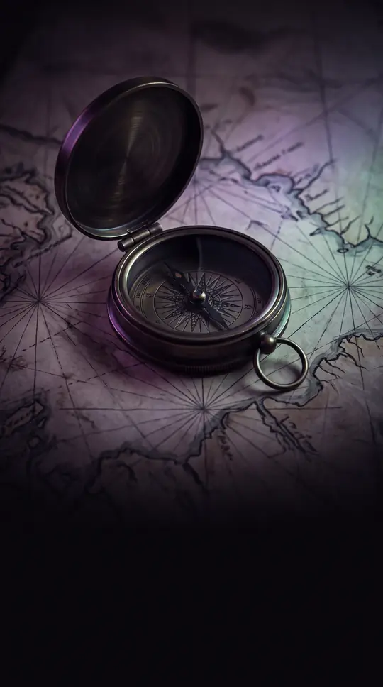
In short: Before modern GPS, mariners relied on portolan charts—hand-drawn vellum maps defined by a striking web of rhumb lines. These charts were so accurate at depicting coastlines that they remain a mystery to historians: they appeared in a highly developed state with no visible evolutionary path of improvement.
Portolan charts emerged in the late 13th century, with the earliest dated navigational chart produced in Genoa by Petrus Vesconte in 1311. These manuscript charts were primarily used for navigating the Mediterranean and Black Seas. They are instantly recognizable by their distinctive network of rhumb lines—straight lines radiating from compass roses—which allowed pilots to plot constant headings between harbors. Because they did not account for the curvature of the Earth, they were effective for regional travel but useless for transoceanic voyages. The term "portolan" derives from the Italian "portolano," which refers to books of sailing directions that began circulating in the late medieval period. While the maps were practical tools for mariners, they were also frequently created as decorative objects. They prioritize coastal data, with place names inscribed perpendicular to the shoreline to keep navigational information clear. Important locations were often highlighted in red, while less significant ones were marked in black. One of the most perplexing aspects of these charts is their level of detail. They provided extremely realistic portrayals of coastlines despite a complete lack of a documented evolutionary path; the oldest surviving samples were already highly sophisticated. For example, a rare chart attributed to Estienne Bremond of Marseilles, dated to about 1650, shows the Aegean Sea with specific delimitations from Crete to the Bosphorus. It features eleven compass roses and thirty-two rhumb lines, illustrating a refined cartographic tradition that persisted into the early 18th century.
topics [ cartography maritime-history navigation
Opens the Intellect+ feed with this card first. Swipe up for the next one.
Sources
- Summary by Intellect · source: Maps : Portolan chart of the Aegean Sea and part of the Eastern Mediterranean
- Also: Portolan chart
- Also: Portolan chart | Maritime Navigation, Nautical Maps, Cartography | Britannica
- Also: Portolan Charts - Nautical Charts at the Library of Congress - Research Guides at Library of Congress
To cite this card, link to https://intellectplus.co.uk/app/wars-portolan-chart.
How we source, check and correct cards: Editorial standards.
General information, not professional advice. Spotted an error? Flag the card or see corrections and complaints.
Intellect Plus is a visual educational discovery platform for exploring fascinating facts and ideas. Brain Food, Not Brain Rot. What is Intellect Plus?
Related
More in Early modern wars · More in Wars & Conflicts · Latest · A–Z · All topics
