 Intellect Plus
Basics
447 cards. Each one is a 40-second story with a five-minute read behind it. Page 8 of 8.
 Equatorial Guinea does not touch the equator anywhereEquatorial Guinea, whatever its name suggests, never actually touches the equator. The line itself is not fixed either: Earth's spin axis wanders about 9 metres a year, dragging t…
 Every one of Earth's 100 highest mountains stands in EurasiaEurasia holds roughly 70% of humanity on about 36% of the world's land, and all 100 of the planet's tallest peaks. Splitting it into Europe and Asia is a cultural habit rather tha…
 The Tropic of Cancer is where June’s sun stands overheadEarth’s northernmost latitude with a vertical noon sun sits at the Tropic of Cancer on the June solstice, when the Northern Hemisphere tips toward the Sun. Capricorn mirrors it in…
- Capricorn marks December’s farthest overhead sunThe Tropic of Capricorn holds the subsolar point at the December solstice—the southernmost latitude where the Sun stands straight overhead. North of it lie the tropics; south begi…
 Technical geography builds the tools other geographers useWhile human and physical geography ask what places mean, technical geography invents how to capture, crunch, and display location data. Cartography, autocorrelation statistics, an…
 Physical geography maps air, water, life, and rock togetherNatural geography asks how atmosphere, hydrosphere, biosphere, and geosphere pattern Earth's surface. Its subfields, from geomorphology to climatology, split that question into la…
 Zero longitude was a choice, not a natural scar on EarthA prime meridian is the agreed 0° line of longitude. Greeks from Eratosthenes to Ptolemy floated Atlantic island baselines and Mercator tried the Canaries; only in 1884 did 22 cou…
 Regions are mental maps with sometimes fuzzy edgesGeographers carve Earth into regions by rock and climate, by culture, or by how people remake environments. Continents look obvious from space, yet many regional labels are concep…
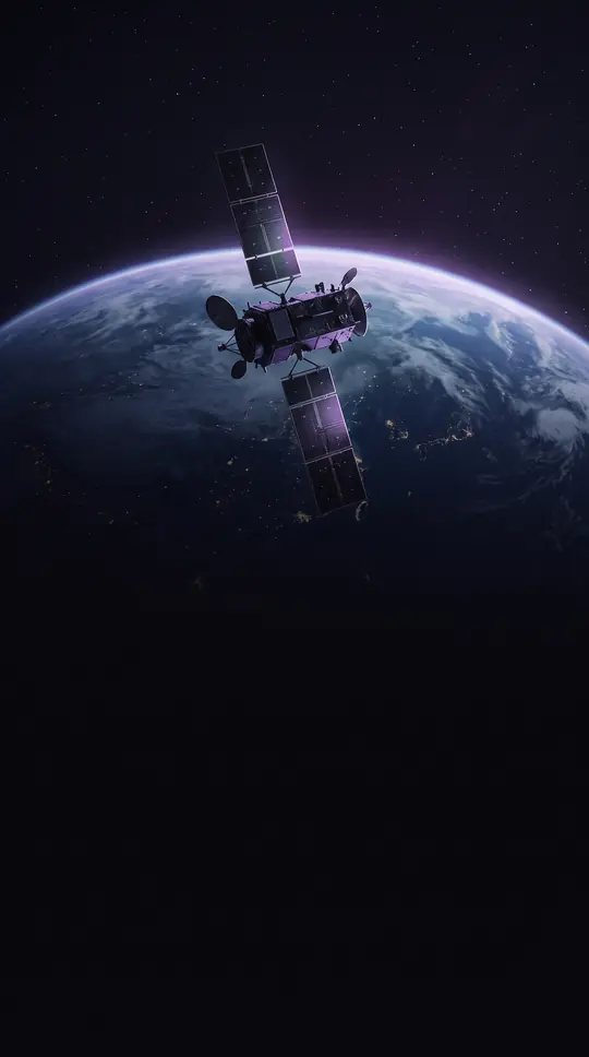 Satellites read Earth without ever touching the groundRemote sensing gathers data about objects without touching them, especially Earth and other planets, using airborne or orbital sensors. Passive instruments catch reflected sunligh…
 Twelve countries share a continent pinched by two oceansSouth America sits mostly in the Southern Hemisphere, walled by Pacific and Atlantic waters and the Drake Passage. About 17.8 million square kilometres and more than 434 million p…
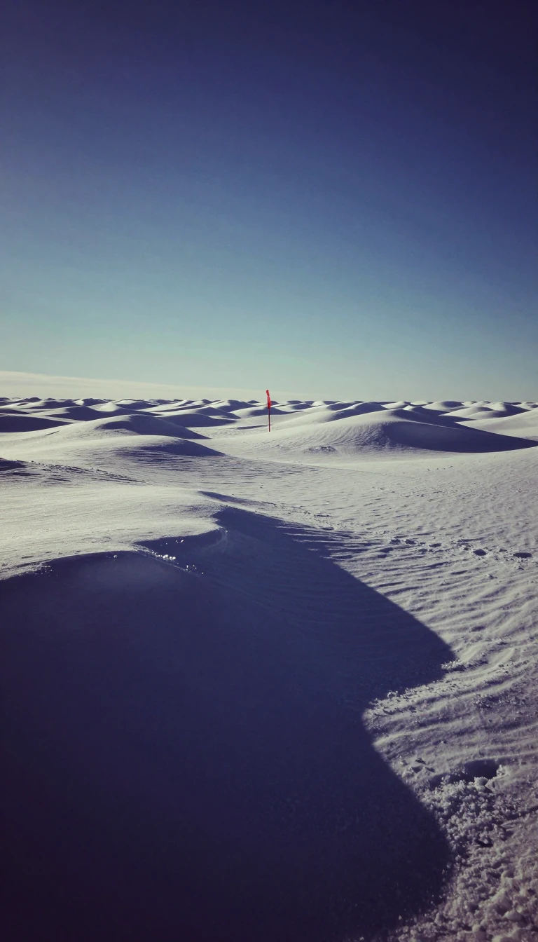 The South Pole marker must be moved every New YearWhere Earth's spin axis meets the ice, every direction is north and longitude loses meaning. A sheet of ice about 3.2 kilometres thick slides roughly ten metres a year, burying bu…
 Surveyors turn angles and distances into legal ground truthLand surveying locates points from measured distances and angles so that maps, property lines, and construction can agree. From Egyptian rope stretchers redrawing fields after the…
 Three calendar days can exist on Earth at the same timeThe International Date Line is a cartographic convention, not international law. It zigzags through the Pacific so neighboring islands can share a workday. Cross eastbound and you…
 Your GPS coordinates depend on which ellipsoid the map choseLatitude measures how far north or south a point sits, from 90°S at the South Pole through 0° at the Equator to 90°N. Parallels run east-west as circles. Without naming the refere…
 Finding east-west position took centuries and cost thousandsLongitude fixes east-west position as an angular measurement in degrees. A 15° difference equals one hour of local time. Hipparchus grasped the link in the 2nd century BC, yet rel…
 The oldest surviving map was carved on clay around 2300 BCEMaps abstract geographic reality for navigation, science, governance, and war. One early tablet from Nuzi in the Akkadian Empire dates to 2300 BCE. By the 5th century BCE Greeks m…
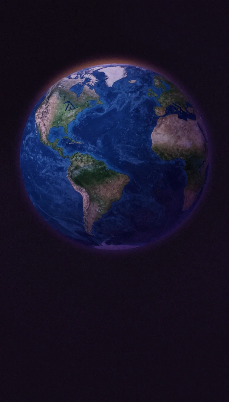 Every flat map of Earth must lie about somethingMap projections transform a globe's curved surface onto a plane. Gauss proved a sphere cannot be mapped without distortion. Mercator preserves angles but swells polar lands; equal…
 Greenland looks as big as Africa on the wrong world mapGerardus Mercator published his conformal cylindrical projection in 1569, turning rhumb lines into straight lines for navigators. It became the standard sea chart by the 18th cent…
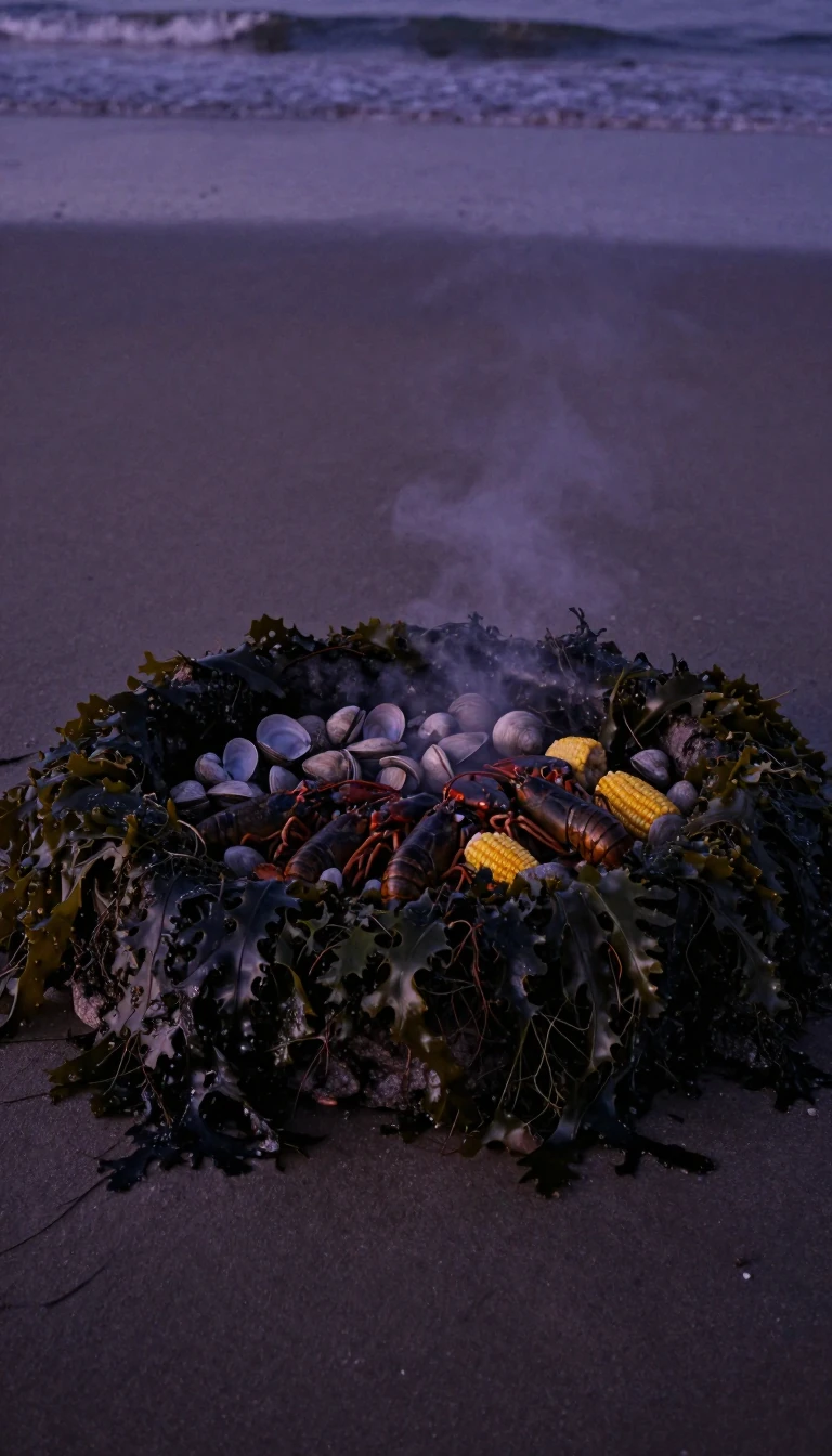 America was once a cod-fishing realm before it got its nameNorth America spans about 24.7 million square kilometres, third-largest continent by area. Waldseemüller put America on South America in 1507; the north was Parias, later Baccalea…
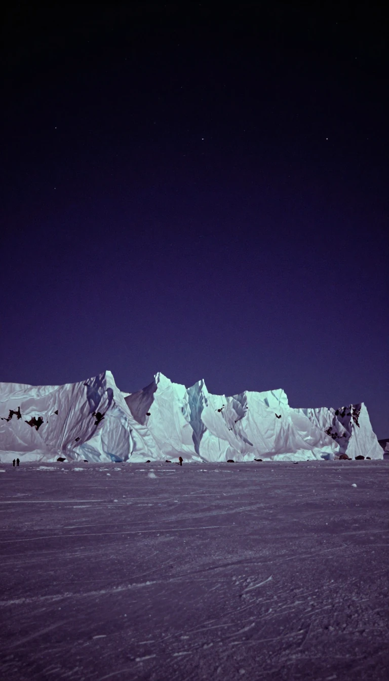 At the North Pole every compass direction points southThe Geographic North Pole is where Earth's rotation axis meets the surface, at latitude 90°N. All longitudes converge there, so its longitude is arbitrary. No time zone applies. U…
- GPS made WGS 84 the quiet default map of EarthA geodetic datum is a reference frame for measuring positions on Earth—an ellipsoid plus orientation rules that turn latitude and longitude into shared meaning. Surveying, GIS, an…
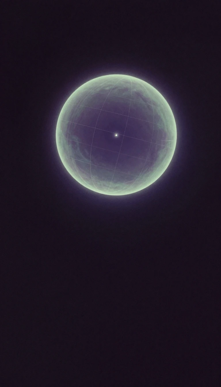 Eratosthenes sketched the first geographic gridA geographic coordinate system pins any spot on Earth to a pair of angles, latitude and longitude, measured on a chosen model of the planet. Eratosthenes of Cyrene is generally cr…
 Roger Tomlinson coined GIS in the mid-1960sA geographic information system stores, analyzes, and maps layers of location-tagged data on computers. Location becomes the index that relates otherwise separate tables. Roger To…
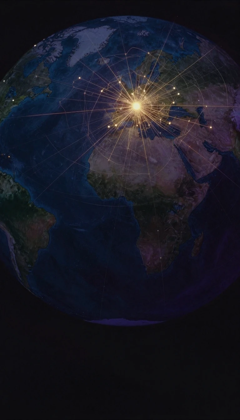 Geography literally means writing the EarthGeography joins the Greek words for Earth and writing: it is the study of the planet's lands, features, peoples and phenomena, asking not only where things are but how they came t…
 The geoid is the ocean's imaginary calm under gravity aloneThe geoid is the shape Earth's oceans would settle into if only gravity and the planet's spin acted on them, with no wind or tides, continued beneath the continents as if through …
- A one-metre globe shrinks Earth by forty million to oneGlobes are spherical models of Earth, other worlds, or the sky that avoid the area distortion flat projections must accept. Latin globus means sphere. Strabo records the earliest …
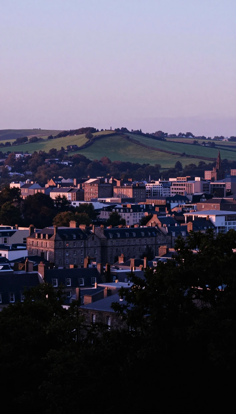 Human geography earned its first UK chair in 1883Human geography—sometimes called anthropogeography—maps how people inhabit and reshape space. England's Royal Geographical Society formed in 1830; the United Kingdom's first geogr…