 Intellect Plus
Basics
447 cards. Each one is a 40-second story with a five-minute read behind it. Page 7 of 8.
 The Korean DMZ is a 250-kilometer buffer zone born from a 1953 armistice agreement.Stretching across the Korean Peninsula, the DMZ is a heavily militarized strip of land that serves as a frontline in an ongoing conflict. Despite its name, this buffer zone remain…
 From ancient Greek numerals to modern physics, why is lambda everywhere?The eleventh letter of the Greek alphabet, lambda, is far more than a linguistic relic. It serves as a universal shorthand for everything from the accelerating expansion of the un…
 Lemuria: The Imaginary Sunken Continent That Once Explained the WorldIn 1864, a zoologist proposed a lost continent in the Indian Ocean to explain why lemurs lived in Madagascar and India but not Africa. Though plate tectonics eventually rendered t…
 The Mosquito Coast was a kingdom that defied empires for over two centuries.Spanning the eastern seaboard of Nicaragua and Honduras, the Mosquito Coast was an independent political entity that successfully resisted Spanish conquest. By leveraging alliance…
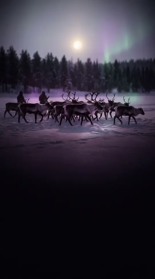 The Karelians: A Baltic Finnic people split by centuries of border warsIndigenous to a region straddling Finland and Russia, the Karelians have been shaped by a millennium of conflict between Sweden and Novgorod. Once a powerful, independent group, t…
 The Mexico–United States border is the world's most frequently crossed international boundary.Spanning over 3,000 kilometers from the Pacific to the Gulf, the Mexico–U.S. border is far more than a line on a map. It is a complex, high-traffic zone where millions of legal cr…
 Human spaceflight has evolved from Cold War military rivalry to a commercialized global endeavor.Since Yuri Gagarin first orbited Earth in 1961, human spaceflight has transitioned from a state-sponsored race between superpowers to a diverse industry. Today, private companies …
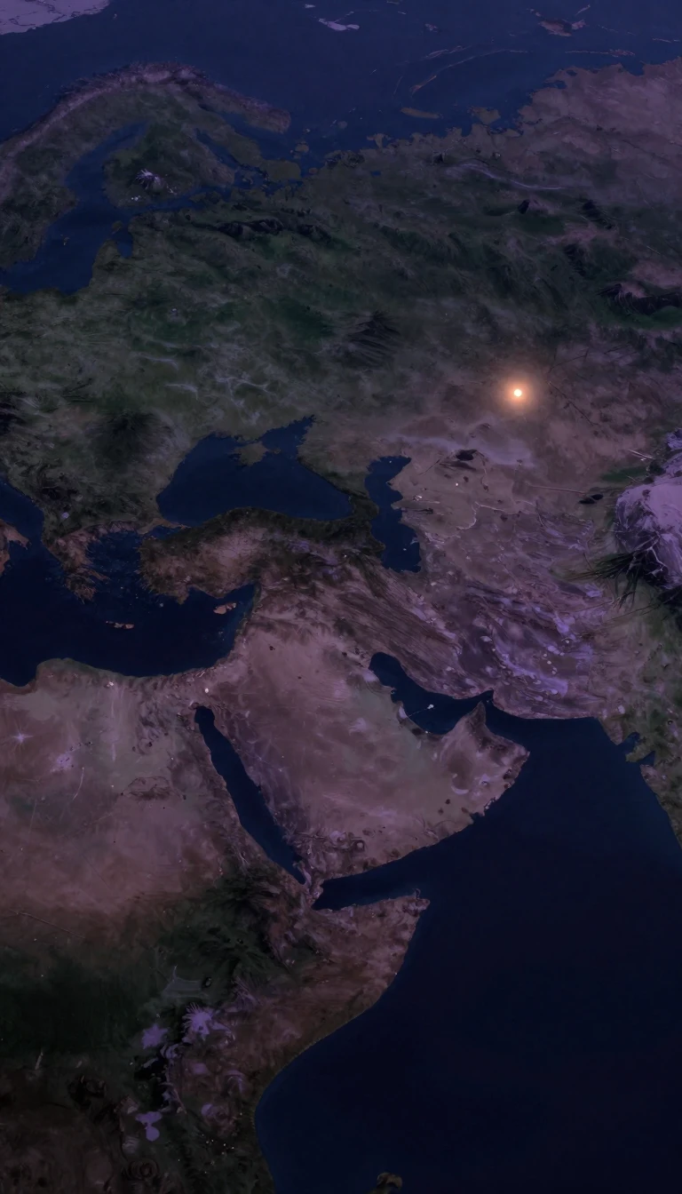 Why did Eurasian civilizations conquer the world instead of being conquered by others?Jared Diamond argues that global inequality is not a product of intellectual or genetic superiority. Instead, he posits that the rise of Eurasian dominance was driven by environme…
 Why these seven Greek islands spent centuries avoiding Ottoman rule while others fellKnown as the Heptanese, the Ionian Islands occupy a unique position in Greek history. While the rest of the Greek-speaking world succumbed to the Ottoman Empire, these islands rem…
 From Sun shadows to atomic precision: how humanity mastered the measurement of timeFor millennia, we relied on the shifting positions of stars and the steady flow of water to track our days. This quest for precision evolved from ancient sundials and incense stic…
- A hamlet is more than just a small village: it is a global puzzleWhile often dismissed as merely a tiny village, the hamlet is a complex, globally diverse settlement type. From official Canadian municipalities to unincorporated New York neighbo…
 Why your feet are technically younger than your head due to gravityTime does not tick at a constant rate across the universe. Because of gravity, clocks closer to a massive object run slower than those further away. This phenomenon, predicted by …
- Why Greenwich Mean Time is not the exact moment the sun hits the meridianGreenwich Mean Time is a statistical average, not a precise solar measurement. Because Earth orbits in an ellipse and tilts on its axis, the sun rarely reaches its zenith at exact…
 Why a single ancient miscalculation of Earth's size changed the course of human history.Maps are not just tools for navigation; they are powerful social instruments that shape how we perceive the world. From prehistoric mammoth tusks to the sophisticated coordinate s…
 The Russian flag’s tricolour design was inspired by Dutch naval traditions in the 1600sRussia's iconic white, blue, and red flag has a history as complex as the nation itself. While often associated with modern Russian identity, its origins trace back to Peter the G…
 Why Russia’s GLONASS navigation system is a vital partner for global GPS usersWhile GPS is a household name, Russia’s GLONASS provides a critical alternative for global navigation. By operating at a higher orbital inclination, this satellite constellation e…
 Why the shortest path between two points is rarely a straight lineOn a flat sheet of paper, a straight line is the quickest route. But on the curved surface of our planet or the warped fabric of spacetime, the shortest path takes a different for…
 How Taiwan navigates a world that officially pretends it does not existThe Republic of China, commonly known as Taiwan, operates a sophisticated diplomatic network despite lacking formal recognition from most of the world. By leveraging unofficial re…
- Finnmark: Norway’s vast, northernmost frontier where the sun vanishes for two monthsSpanning a territory larger than Denmark, Finnmark is Norway’s least populous county. It is a land of extremes, where temperatures can swing by 84 degrees Celsius annually. From t…
 Why humanity has never settled on a single flag to represent our home planetFrom peace activists to science fiction writers, many have proposed a flag for Earth. These designs aim to symbolize global unity, our place in the universe, or a shared future. Y…
 Israel navigates a complex global landscape through a mix of formal and secret diplomacy.Israel maintains diplomatic ties with 165 of the 192 United Nations member states, yet its foreign policy remains defined by regional strategic challenges. By balancing open coope…
 Why the battle for software freedom is really a fight over human rightsFree and open-source software is more than just free code; it is a movement built on four essential freedoms. While proprietary software keeps its inner workings hidden, this coll…
 What happens when two nations claim the same land and decide to share it?In international law, a condominium is a territory where multiple sovereign powers agree to exercise joint authority without carving the land into separate national zones. While t…
 Why contour lines are the secret language of hills, valleys, and weather patternsContour lines do more than map mountains; they are a universal tool for visualizing invisible data. By connecting points of equal value—whether elevation, pressure, or temperature…
 How ancient scholars calculated the size of our planet using only shadows and mathLong before satellites, Eratosthenes determined the Earth's circumference with remarkable precision using nothing but a gnomon, a well, and geometry. His work, alongside later eff…
 Why your favorite statistical map might be hiding the truth about local realityChoropleth maps are the most common way to visualize geographic data, yet they often mask critical variations. By coloring entire districts with a single shade, these maps can cre…
 Why some American counties maintain two separate seats of government for their citizensA county seat is the administrative heart of a local jurisdiction, but the arrangement is rarely static. While most counties centralize their government in one city, some maintain…
 Why Earth does not have a single, precise radius for scientists to measureEarth is not a perfect sphere, making the concept of a single radius a useful fiction. Because our planet bulges at the equator and flattens at the poles, its radius varies depend…
- Why Earth's closest approach to the Sun actually happens during the Northern Hemisphere winterEarth travels around the Sun in an elliptical path, yet our seasons are not dictated by this distance. While we are physically closer to the Sun in January, the axial tilt of our …
 Why experienced explorers insist you call them cavers, not spelunkersCaving is a demanding pursuit of wild, unmapped subterranean systems. While outsiders often use the term spelunking, seasoned enthusiasts reject it, viewing it as a label for the …
 How a grocery store bagger became the world's most-streamed artist in SpanishBenito Antonio Martínez Ocasio, known as Bad Bunny, transformed global music by refusing to switch to English. From a small Puerto Rican barrio to headlining the Super Bowl, his r…
 Why the Baltic languages are the most archaic survivors of Indo-European historyThe Baltic languages are a linguistic time capsule, retaining archaic features from the early stages of Proto-Indo-European. Though they were written down relatively late, these l…
 Why is the world's most remote island a Norwegian nature reserve?Bouvet Island, a volcanic speck in the South Atlantic, sits thousands of kilometers from any continent. Covered 93 percent by glaciers and nearly impossible to land upon, this uni…
 Why cave divers rely on a simple string to survive the dark undergroundCave diving is a technical pursuit where the ceiling is solid rock and the exit is often invisible. To survive, divers rely on a continuous guideline, a lifeline that provides the…
- The Central Powers were a strategic coalition defined by their geography in central Europe.The Central Powers coalition, which fought the Allied Powers during World War I, was named for the location of its members between the Russian Empire to the east and France and th…
 Who are the Balts, and how did they survive millennia of migration and conquest?The Balts are a distinct group of Indo-European peoples whose history is defined by resilience and linguistic preservation. While many ancient tribes were absorbed by neighbors, L…
 The Avro Lancaster was a legendary bomber, but its design trapped its own crew.The Avro Lancaster was the Royal Air Force's premier heavy bomber during the Second World War, renowned for its massive payload and versatility. Yet, beneath its reputation as a n…
 Was the purchase of Alaska really a folly, or a masterstroke of American expansion?In 1867, the United States acquired a vast, icy territory from Russia for $7.2 million. While critics mocked the deal as Seward's Folly, the purchase fundamentally reshaped Pacifi…
- The Archean Eon was a volatile water world where life first took hold.Spanning from 4,031 to 2,500 million years ago, the Archean was Earth's second geologic eon. It was a time of intense heat, frequent asteroid impacts, and a reducing atmosphere de…
 Why Paris is organized like a giant, spiraling snail shellParis is divided into twenty administrative districts known as arrondissements, which spiral clockwise from the city center like a snail shell. While they define the city's geogra…
 The remote Alaskan island that became a forgotten battlefield and a ghost townAttu Island is the westernmost point of the United States, yet it remains largely inaccessible. Once home to a thriving Unangan community, it became the site of the only World War…
 How scientists finally pinned down the age of our planet to 4.54 billion yearsFor centuries, naturalists guessed Earth's age using cooling rates and salt accumulation, leading to wildly inaccurate estimates. It was only after the discovery of radioactivity …
- Why does the 12-hour clock divide our day into two confusing cycles?The 12-hour clock splits our day into two cycles of 12, a convention rooted in ancient Egyptian sundials and water clocks. While we rely on a.m. and p.m. to navigate our schedules…
 Why your emotional state dictates how much of the world you actually seeYou might think your focus is steady, but your brain constantly adjusts its scope based on your current emotional intensity. When you feel a strong urge to act, your vision narrow…
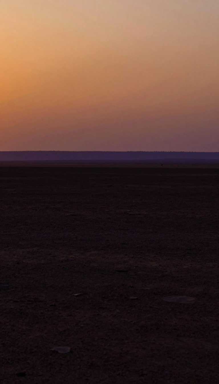 Africa is the cradle of humanity and the world's youngest, most biodiverse continent.Spanning 20% of Earth's land, Africa is a continent of profound contrasts. It is the birthplace of the human species, yet holds the world's youngest population. While it faces sig…
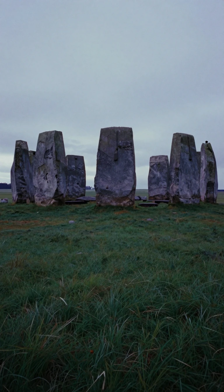 Europe’s eastern edge is a mountain compromiseEurope sits wholly in the Northern Hemisphere and mostly in the Eastern, covering about 10.2 million square kilometres—roughly two percent of Earth’s surface and under seven perce…
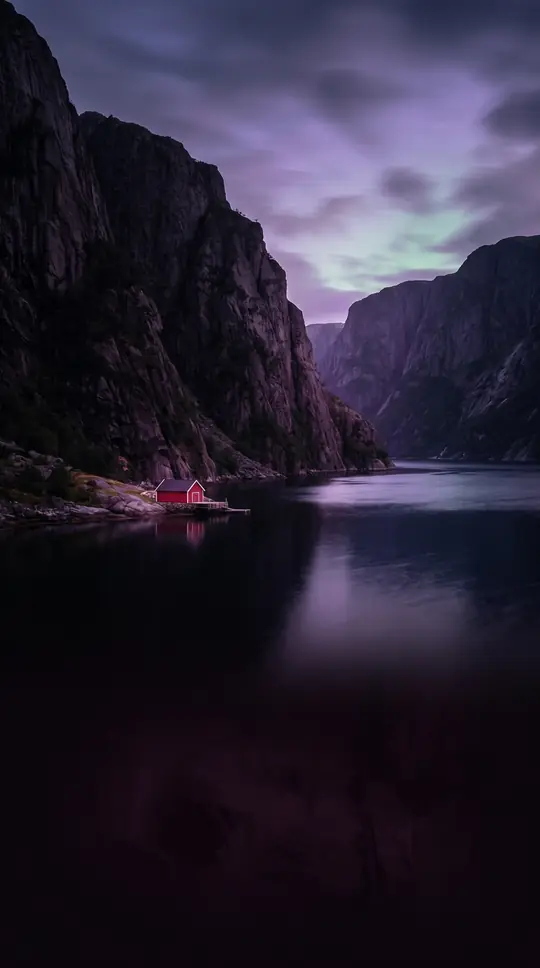 Less than a tenth of the ocean floor has been mapped in detailWe think of the age of exploration as over, yet only a small fraction of the ocean, under a tenth, has detailed maps, and even less has been seen directly. Exploration also covers…
- Whether America is one continent or two depends on your languageEnglish speakers since the 1950s usually count North and South America as two continents. In Spanish and Portuguese, América is one, and an americano can be anyone from Alaska to …
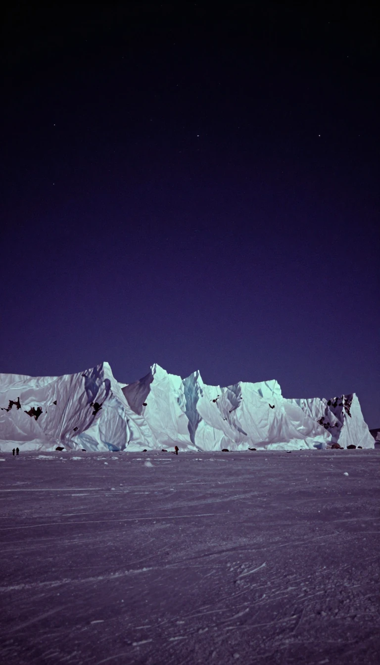 The Antarctic Circle is creeping south by about 14.5 metres every yearThe Antarctic Circle looks fixed on maps, but it moves. Its latitude depends on the tilt of Earth's axis, which wobbles by more than two degrees over 41,000 years under the Moon's…
- Antarctica's ice holds enough water to lift seas almost 60 metresAbout 70% of the world's freshwater is locked in Antarctic ice, averaging 1.9 km thick. The continent is a polar desert that once grew forests, has logged Earth's lowest measured …
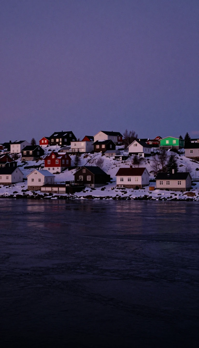 Only one city in the world sits right on the Arctic CircleSalekhard in Russia is the only city built directly on the Arctic Circle. North of the line, Murmansk has nearly 300,000 people and weeks of unbroken darkness each winter, while N…
 Asia's name began with a small corner of Bronze Age TurkeyThe world's biggest continent, home to about 4.7 billion people, takes its name from Assuwa, a Bronze Age term for part of northwestern Anatolia. Its border with Europe has no nat…
- Mercator's 'Atlas' was meant to describe the whole universe, not just mapsWhen Gerardus Mercator put the word atlas on a book title in 1595, he meant a meditation on the creation and shape of the entire cosmos. He named it for a legendary king of Mauret…
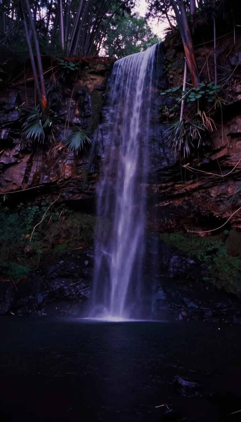 The Australian continent includes New Guinea, joined to it by land in the Ice AgeThe continent of Australia is not just the country. It also takes in Tasmania and the whole of New Guinea, all sitting on one continental shelf. Around 18,000 BC they formed a sin…
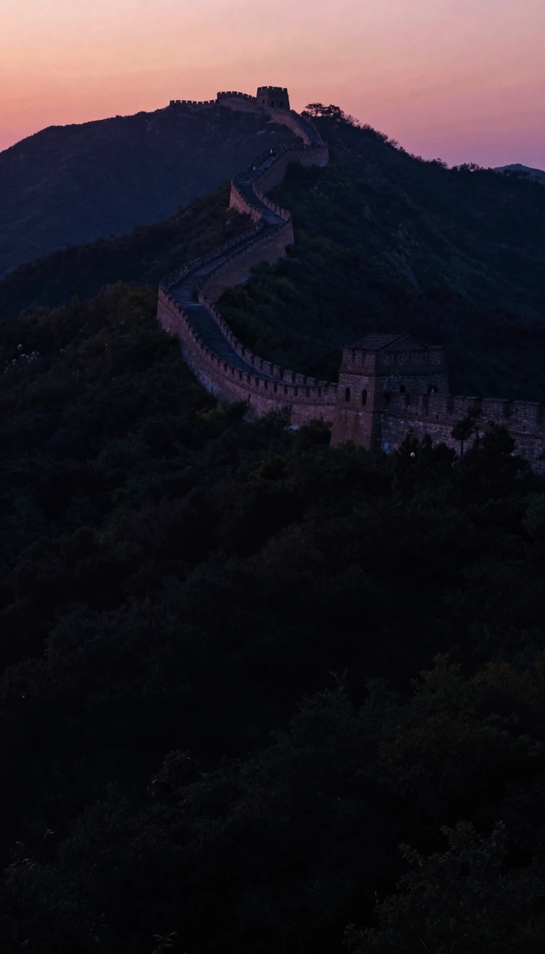 Britain and France drew nearly 40% of the world's international bordersBy one estimate, Britain and France traced close to 40% of the total length of the world's international boundaries. That colonial legacy explains why so many borders in Africa, N…
 East and west both come from one ancient root meaning to shine redThe English words east and west trace back to a single Proto-Indo-European root for glowing red: one for the dawn, one for the evening. South is tied to the Sun itself. And in the…
 The best world map for three centuries was drawn by al-Idrisi in 1154In 1154 the geographer Muhammad al-Idrisi blended Greek learning with reports from Arab merchants to produce a world map that stayed the most accurate for about 300 years. One of …
 Why is Greenland an island but Australia a continent? Mostly conventionGreenland, at about 2.17 million square kilometres, is the world's largest island. Australia, roughly three and a half times bigger, is the smallest continent. No strict rule sepa…
 Nobody can say exactly how many countries exist in the worldAsk how many countries there are and you will get different answers, because there is no universally agreed definition. Some states are recognised by only a few others, some count…
 Everest is the highest peak, but Chimborazo reaches farthest from Earth's centreMount Everest has the greatest elevation on Earth, yet the summit of Chimborazo sits farther from the planet's centre. The reason is the equatorial bulge. Elevation is measured no…