 Intellect Plus
Basics
447 cards. Each one is a 40-second story with a five-minute read behind it. Page 6 of 8.
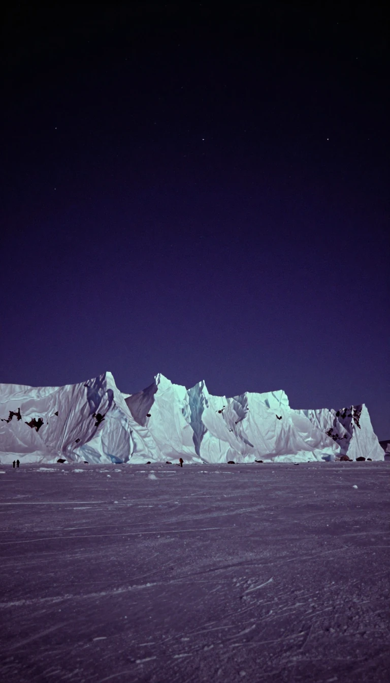 The massive frozen reservoir holding 80 percent of Earth's fresh waterAntarctica is far more than a desolate wasteland. As the world's largest ice desert, this southernmost continent contains a staggering 7 million cubic miles of ice. Its sheer scal…
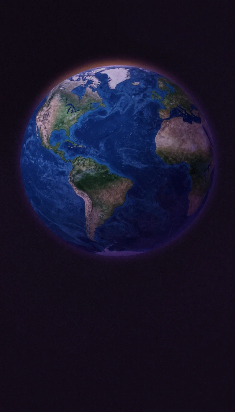 Why Earth's latitude lines are not actually fixed in placeWe often treat latitude as a permanent coordinate, but the lines defining our tropics and polar circles are in constant motion. Driven by the subtle wobble and tilt of Earth's axi…
 Why your map of the world is hiding the real story of human identityWe often view the world through the lens of modern nation-states, yet this perspective blinds us to older, more enduring structures. Historical regions—geographical areas defined …
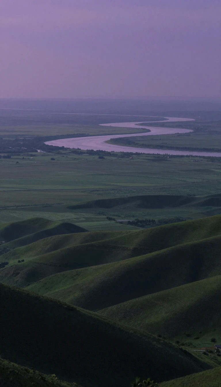 How the ancient art of mapping the past evolved into modern digital intelligenceHistorical geography tracks how places change over time, from Herodotus’s early observations of the Nile to today’s sophisticated digital systems. By layering thematic data, we ca…
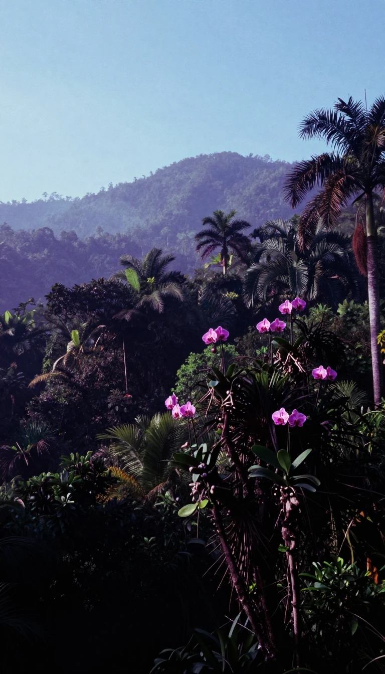 South America is a geological bowl, ringed by mountains and defined by vast rivers.South America is far more than a tropical rainforest. It is a continent-sized basin, shaped by the young, restless Andes and ancient eastern highlands. From the arid Atacama Deser…
 Why global economic activity is shifting away from the coast toward the interiorDevelopment geography maps how economic, social, and environmental forces shape human opportunity across space. Recent research reveals a surprising trend: economic output is migr…
 North America is a geologically ancient continent built from colliding microcontinents and volcanic shifts.Spanning from the Arctic to the tropics, North America is more than just a landmass. It is a complex puzzle of ancient cratons, shifting tectonic plates, and glacial history. Bene…
 Europe is a continent defined more by its complex peninsulas than by rigid bordersEurope is not a simple landmass but a vast, interconnected collection of peninsulas and islands. While often viewed as a distinct continent, its geography is defined by a striking…
 Asia is not a fixed place, but a fluid concept defined by ancient shores.Asia is not a single, objective landmass, but a shifting collection of regions defined more by historical convention than physical reality. From the ancient Greek obsession with g…
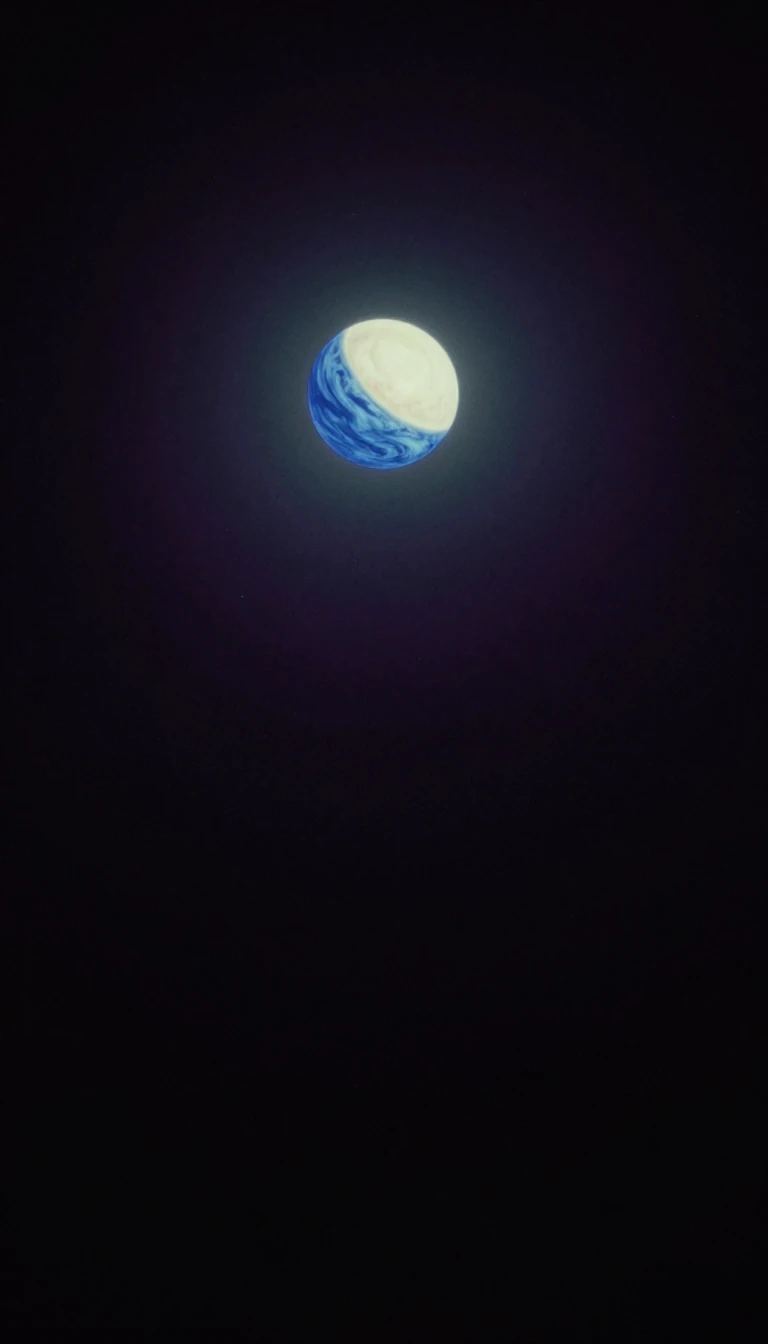 Why the Earth is divided into five distinct climate zones based on latitudeEarth is partitioned into five geographical zones defined by major circles of latitude. These regions, ranging from the icy poles to the sun-drenched tropics, dictate the planet's…
- Beyond maps: How geographers decode the complex spatial relationships of our modern worldA geographer does far more than chart coastlines or identify mountain ranges. These professionals analyze how natural environments and human societies interact across space. By in…
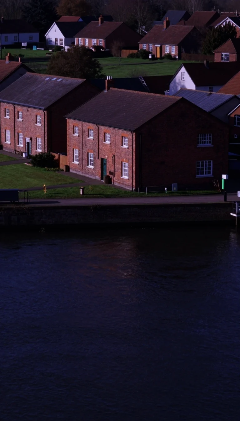 Why are there so many small villages but so few large cities?Central-place theory explains the logic behind our urban landscape. By analyzing how settlements provide goods and services, geographers can predict why towns are spaced the way t…
 Is critical geography a tool for social justice or just a way to fix maps?Today, critical geography is a radical, politically charged field aiming to dismantle systems of oppression. Yet, the term originally meant something entirely different: a technic…
 The French language connects 327 million people, but most are not native speakers.The term Francophonie describes a vast global network of people and institutions united by the French language. While it spans 50 countries across every inhabited continent, the r…
- Why the physical landscape dictates the rise and fall of global economic powerEconomic geography explores how our physical world shapes human prosperity. From ancient trade routes to modern digital hubs, the environment remains a silent architect of wealth.…
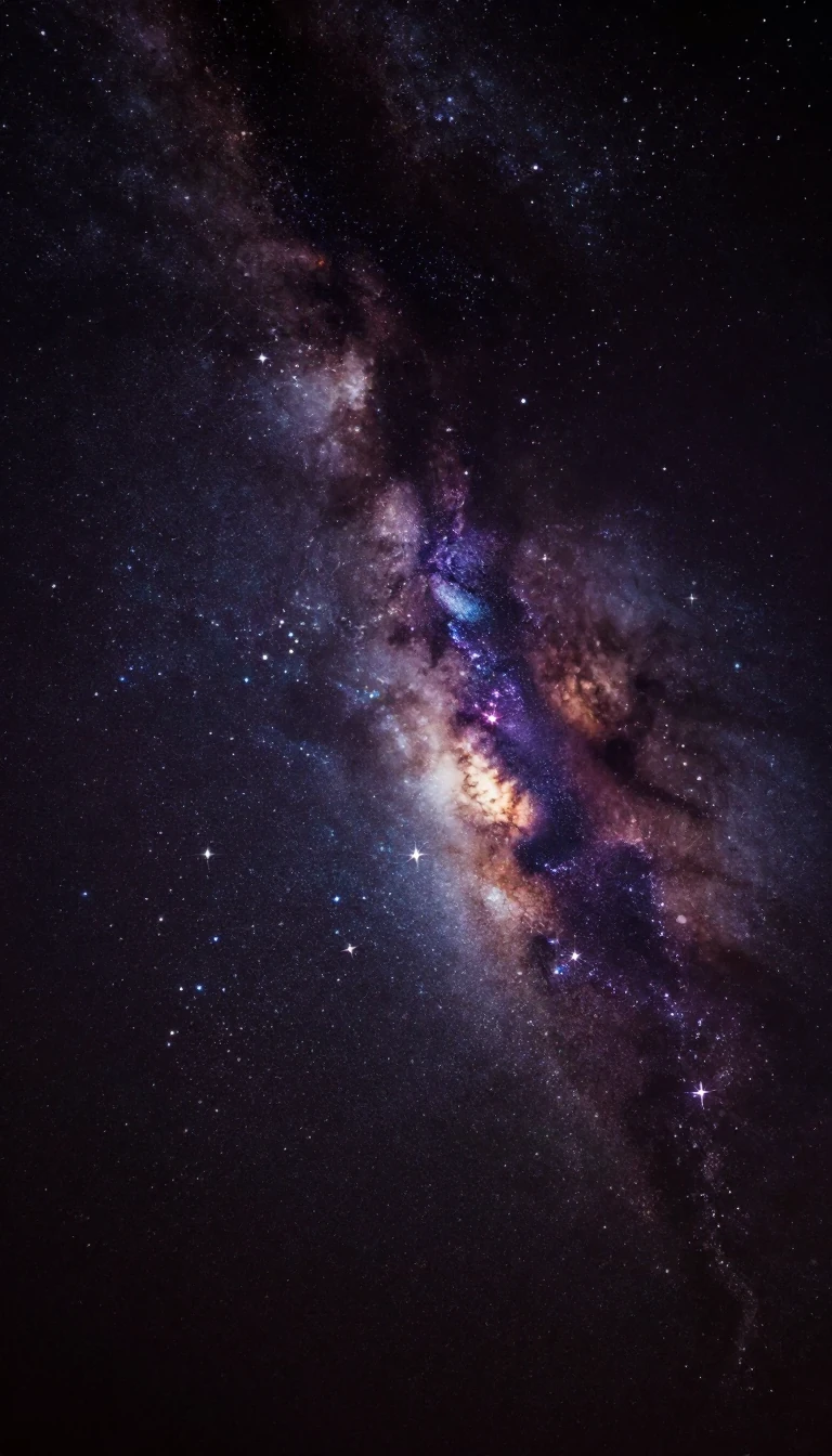 The North Star is not permanent, and it will eventually abandon the northern sky.If you look at the night sky, the stars appear to rotate around a single, fixed point. This is the celestial pole, the projection of Earth's axis into space. While Polaris current…
 Your street address is a surprisingly recent invention designed for state control and efficiency.For most of human history, buildings lacked numbers. The modern address emerged from Enlightenment-era campaigns for census-taking and military conscription. While we now rely on …
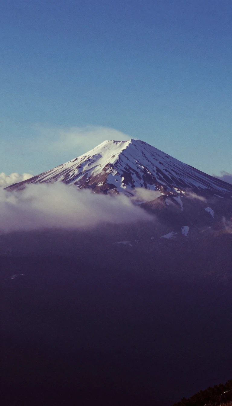 Altitude is not just height; it is a complex measurement of pressure and performance.In aviation, altitude is a multifaceted metric, ranging from absolute height above terrain to pressure-based flight levels. Beyond the cockpit, altitude dictates human physiology,…
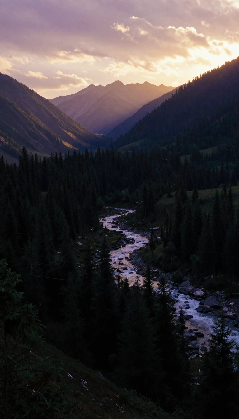 Could organizing society around natural watersheds instead of political borders create a fairer world?Bioregionalism suggests that our economic and cultural systems are more sustainable when aligned with the natural boundaries of the earth rather than arbitrary national lines. By …
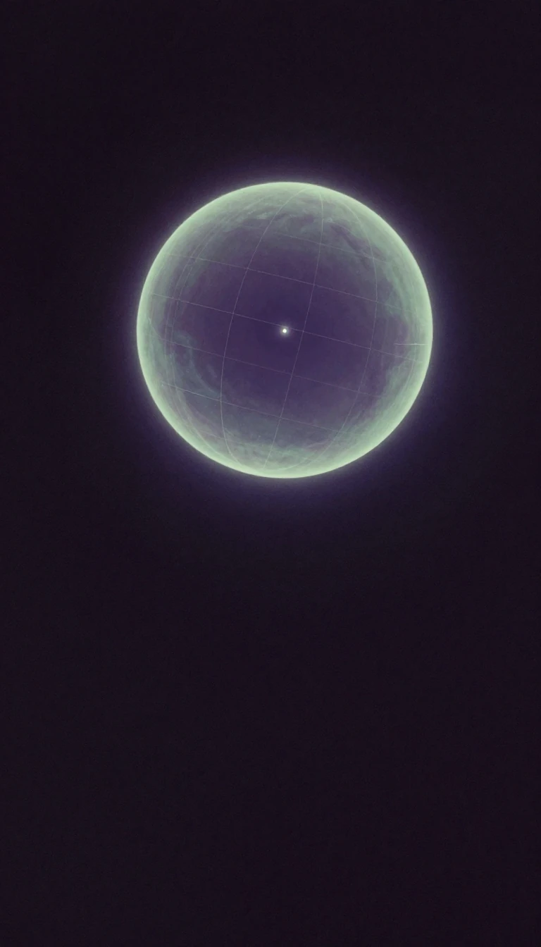 The 180th meridian is a global boundary that confuses both travelers and computer software.Known as the antimeridian, this line sits exactly 180 degrees from the prime meridian. While it mostly traverses the open Pacific, it creates a unique geographic headache: it serv…
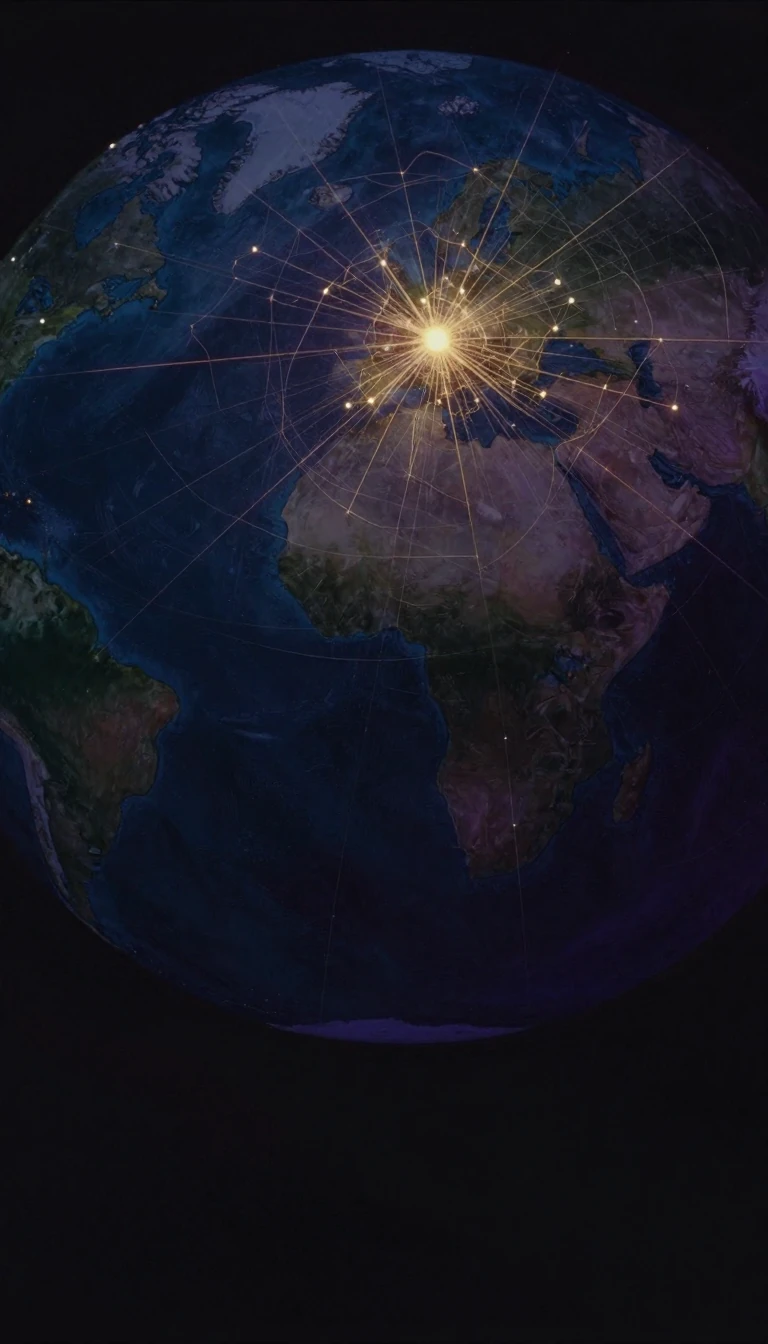 Afro-Eurasia is the largest contiguous landmass on Earth, holding 86% of the human population.Spanning over 85 million square kilometers, Afro-Eurasia is more than just a collection of continents. It is a dynamic, shifting supercontinent-in-waiting that contains the vast m…
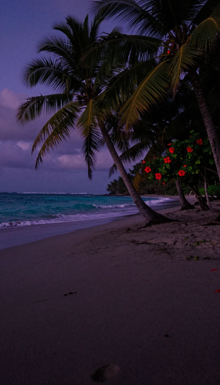 Palmyra Atoll is the only incorporated territory in the United States without a permanent population.Located at the approximate center of the Pacific Ocean, this uninhabited coral atoll is a unique legal anomaly. As the only officially incorporated U.S. territory, it is subject t…
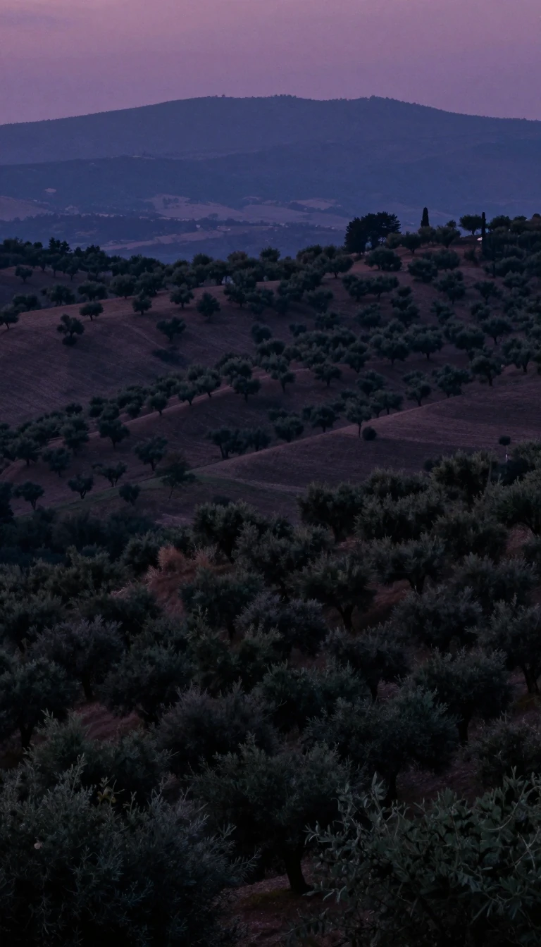 Why Southern Europe is defined by three peninsulas and towering mountain barriersSouthern Europe is more than a map location; it is a distinct world shaped by the Mediterranean Sea and guarded by massive mountain ranges. From the Iberian Peninsula to the Balka…
 What defines a superpower, and does the United States still hold the title?A superpower is a nation so influential that no global action can occur without considering its position. While the term emerged in 1944 to describe the British Empire, Soviet Uni…
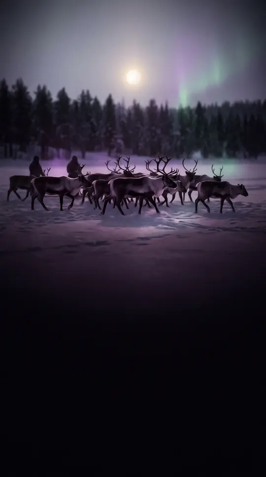 Beringia was not just a bridge, but a vast, hidden continent of ancient life.For thousands of years, a massive landmass connected Siberia to North America, serving as a biological crossroads. While often remembered as a simple path for human migration, thi…
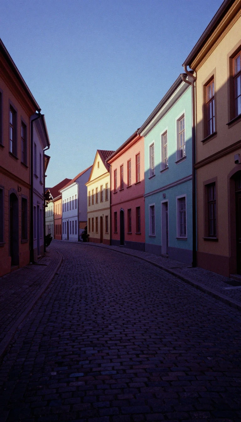 How Spain transformed from a rigid dictatorship into a unique, decentralized administrative stateFollowing the death of Francisco Franco in 1975, Spain faced the daunting task of dismantling a highly centralized regime. The resulting 1978 Constitution avoided traditional labe…
 How a 25-year diplomatic standoff over a name finally reshaped a nation's identityFor over two decades, the name Macedonia sparked intense geopolitical friction between Greece and its northern neighbor. The dispute, rooted in ancient history and modern territor…
 Chernozem: The dark, fertile earth that fueled empires and sparked a black marketKnown as black soil, chernozem is a remarkably fertile earth defined by its high humus content and moisture-storage capacity. Spanning vast Eurasian and North American belts, this…
 Before the mechanical era, civilizations measured the passage of time by stealing water.Known as the clepsydra, or water thief, this ancient device tracked time by regulating the flow of liquid into or out of a vessel. Used from Babylon to China, these clocks were es…
 Vibration is the rhythmic dance of matter, oscillating around a point of perfect equilibrium.Whether it is the unwanted rattle of a car engine or the intentional chime of a tuning fork, vibration is the fundamental movement of matter. By understanding the interplay betwee…
 Why your favorite online map is technically a flawed, non-conformal, and unofficial projectionWeb Mercator is the de facto standard for online mapping, yet it is officially rejected by the U.S. National Geospatial-Intelligence Agency. By projecting ellipsoidal coordinates …
 Why the winter solstice is the most significant astronomical turning point for humanityThe winter solstice marks the moment Earth’s pole tilts furthest from the Sun, creating the year’s longest night. While we experience it as a brief astronomical event, ancient cul…
 How a 19th-century architectural term became the secret to digital worldsFrom reconstructing destroyed monuments to the hyper-realistic landscapes of Hollywood blockbusters, photogrammetry turns flat images into precise 3D reality. This science of meas…
 Why the United Nations divides the world into 248 distinct statistical territoriesThe United Nations geoscheme organizes the globe into six continental regions and 22 subregions. While it appears to be a standard map, it is actually a tool for statistical conve…
 The United States Geological Survey maps everything from American landscapes to distant alien moons.Founded in 1879, the United States Geological Survey is the nation's primary civilian mapping and earth science agency. While it began by surveying public lands for minerals, its …
 Vangelis: The Self-Taught Composer Who Scored the Sounds of Space and CinemaVangelis was a musical polymath who never learned to read or write music, yet he defined the sound of modern cinema and space exploration. From the iconic synthesizers of Blade Ru…
- The United States census is a constitutional mandate that shapes American political and economic life.Every ten years, the United States conducts a massive count of its population. Far more than a simple headcount, this decennial operation determines the distribution of federal fu…
 Why these nine remote islands are grouped together by the United NationsThe United States Minor Outlying Islands are not a single territory, but a statistical collection of nine scattered, uninhabited islands. From the Caribbean to the Pacific, these …
- Why the Universal Transverse Mercator system is the world's most precise grid map.The Universal Transverse Mercator system divides the Earth into 60 narrow strips to flatten our curved planet into a usable grid. By applying a specific scale factor, it keeps dis…
 Why the world's most popular database language is technically a broken standardSQL is the universal tongue of data, yet it is notoriously difficult to port between systems. Despite decades of formal standardization, no major database vendor fully adheres to …
 Why every flat map of our round world is technically a lieMapping a sphere onto a flat surface inevitably warps reality. To measure exactly how much a map stretches, shrinks, or twists the world, cartographers use Tissot's indicatrix. Th…
 The Soviet invasion of Poland was a secret deal that carved up a nationOn September 17, 1939, Soviet forces crossed into Poland, sixteen days after Nazi Germany had begun its own assault. This maneuver was not a spontaneous reaction to chaos, but the…
 Tórshavn began as a neutral meeting ground for Viking parliaments without any permanent settlement.Long before it became the capital of the Faroe Islands, the Tinganes peninsula was a neutral, uninhabited site where Viking settlers gathered each summer to hold their parliaments…
 You cannot manage time, only the events in your life relative to it.Time management is a misnomer. You are not managing hours, but your own actions within a fixed 24-hour window. Whether you view time as a linear resource to be optimized or a cycl…
 The British explorer who amputated his own frostbitten fingers with an electric fretsawSir Ranulph Fiennes is a record-breaking adventurer who has survived heart attacks, extreme polar expeditions, and even a failed attempt to blow up a movie set. His life is define…
 Why the saber-toothed cat did not evolve itself into a starving, toothy extinction.The image of Smilodon as a clumsy predator doomed by its own oversized teeth is a persistent myth. Early 20th-century scientists once argued these cats evolved their signature can…
 Why the world's official prime meridian is actually 102 metres off the markFor a century, the Greenwich meridian served as the global standard for time and navigation. Yet, modern satellite data reveals the historic line is not at zero longitude at all. …
 Karelia: A vast, ancient landscape defined by centuries of shifting borders and glacial iceSituated in Russia’s northwest, the Republic of Karelia is a land of 61,000 lakes and dense taiga. Once a strategic prize fought over by Sweden and Novgorod, this region—home to t…
 Before the continents we know, Earth was united as the supercontinent Rodinia.Long before complex life walked the land, Earth’s crust gathered into a single, barren supercontinent called Rodinia. Existing roughly 1.2 billion to 750 million years ago, this m…
 Why this ancient, parasitic tree became one of the world's most expensive commoditiesSandalwood is more than a scent; it is a hemiparasitic tree that has shaped global trade routes for centuries. Prized for its ability to retain fragrance for decades, this slow-gr…
 France is divided into eighteen administrative regions, but they lack their own legislative power.While France is organized into eighteen distinct administrative regions, these entities operate without the authority to create statutory law. From the European Hexagon to oversea…
 The Philippines is divided into 18 regions to streamline national government service deliveryWhile the Philippines is a unified nation, its governance is structured through 18 distinct regions. These administrative divisions act as the primary mechanism for coordinating n…
 The gaming technology that turned a 1990s software demo into a global viewBefore it was a ubiquitous tool for exploring our planet, Google Earth began as a 3D gaming software demo. What started as a way to showcase graphics libraries eventually captured…
 How small can we go before physics stops making sense?The universe operates on scales so minute they defy human intuition. From the Planck length, where physical reality as we know it dissolves, to the subatomic dance of quarks and n…
- The Mutiny on the Bounty was a desperate reaction to months of psychological tormentOn April 28, 1789, Fletcher Christian seized the HMS Bounty from Lieutenant William Bligh, casting him adrift in the Pacific. While often remembered as a simple rebellion, the mut…
 Was the New World named after an Italian explorer or a merchant from Bristol?The name America first appeared on a 1507 map, officially honoring Amerigo Vespucci. Yet, persistent theories suggest the continent might actually owe its title to an indigenous m…
 National conservatism prioritizes national identity and sovereignty over the tenets of enlightenment liberalism.National conservatism is a distinct political ideology that rejects individualism and the universality of human rights in favor of preserving cultural and national traditions. Oft…
- How a private club for elite explorers became a global scientific powerhouseFounded in 1888 by 33 academics and wealthy patrons, the National Geographic Society began as an exclusive Washington, D.C. club. Today, it is a massive nonprofit dedicated to sci…
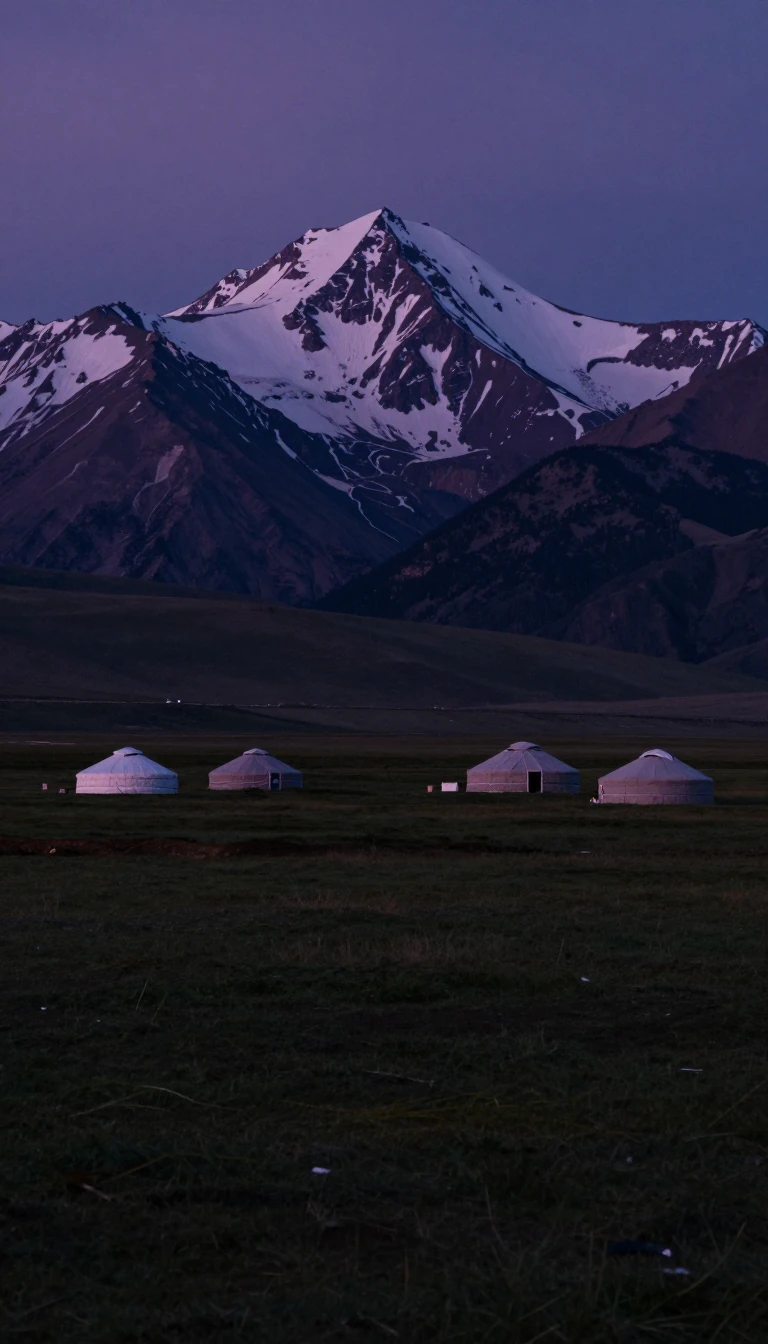 North Asia is a vast, frozen expanse that holds nearly 30% of Asia's land.Covering over 13 million square kilometres, North Asia is the largest subregion of the continent, yet it remains its least populated. Dominated by Russian federal districts and sh…
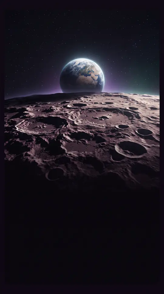 Is the Moon actually orbiting the Earth, or is it just a solar companion?While we teach that the Moon orbits Earth, the reality is a complex gravitational dance. The Sun exerts a pull on the Moon more than twice as strong as Earth's, leading some scien…