Croydon: From a Saxon valley of crocuses to London's ambitious third city
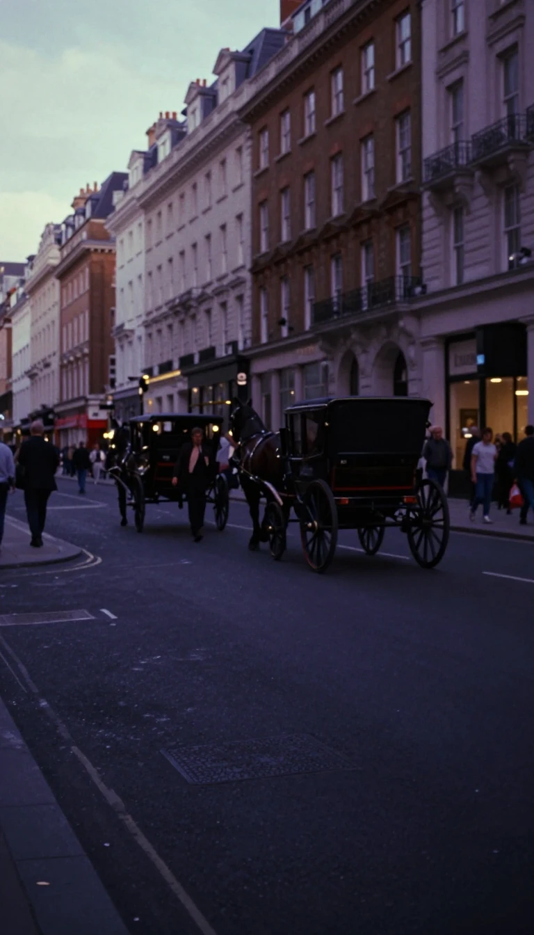
In short: Once a small market town known for charcoal and beer, Croydon has evolved into a major business hub and one of London's most populous boroughs. Despite its modern urban identity, the area holds deep historical roots, from Domesday Book entries to the site of the world's first public railway.
The name Croydon is thought to derive from the Anglo-Saxon term 'croeas deanas', meaning 'the valley of the crocuses', suggesting the area was once a centre for saffron collection. By the time of the Norman invasion, it was already a functioning settlement with a church, a mill, and approximately 365 inhabitants. Throughout the medieval period, the manor of Croydon was held by the Archbishops of Canterbury, who maintained a residence at Croydon Palace, a site that hosted historical figures including Thomas Becket, Henry VIII, and Elizabeth I.
Croydon's trajectory shifted dramatically in the 20th century. The opening of Croydon Airport in 1920 established the town as a global aviation hub, serving as the operating base for Imperial Airways. However, as aviation technology advanced, the site became too small, leading to its closure in 1959. This transition mirrored the borough's broader shift toward commercialisation. In the 1960s, the council oversaw massive development, including the construction of office blocks and the Whitgift Centre, which was once the largest in-town shopping centre in Europe.
Today, the borough is defined by its dual nature. While the north is predominantly urban and densely populated, the southern areas retain suburban and rural landscapes. The local government has repeatedly sought city status to cement its role as 'London's Third City', though these applications have been refused to maintain the borough's integration within Greater London. Despite these administrative setbacks, Croydon remains a significant cultural and economic force, home to the BRIT School—which launched the careers of artists like Adele and Amy Winehouse—and a diverse population that has made it a central hub for south London.
The borough's physical landscape is equally complex, ranging from 32 metres in the north to 175 metres in the south. Beneath the surface, the geology is a mix of Palaeogene clays and Cretaceous chalk, reflecting the area's position at the head of the River Wandle and the edge of the North Downs. This unique geography has influenced everything from early settlement patterns to modern transport challenges, such as the congested Wellesley Road, which the ongoing Croydon Vision 2020 regeneration initiative aims to address.
Opens the Intellect+ feed with this card first. Swipe up for the next one.
Sources
- Summary by Intellect · source: London Borough of Croydon
To cite this card, link to https://intellectplus.co.uk/app/culture-london-borough-of-croydon.
How we source, check and correct cards: Editorial standards.
General information, not professional advice. Spotted an error? Flag the card or see corrections and complaints.
Intellect Plus is a visual educational discovery platform for exploring fascinating facts and ideas. Brain Food, Not Brain Rot. What is Intellect Plus?
Related
More in UK & Irish culture · More in Cultures · Latest · A–Z · All topics
