The Red River of the South: A Shifting Border That Once Sparked War
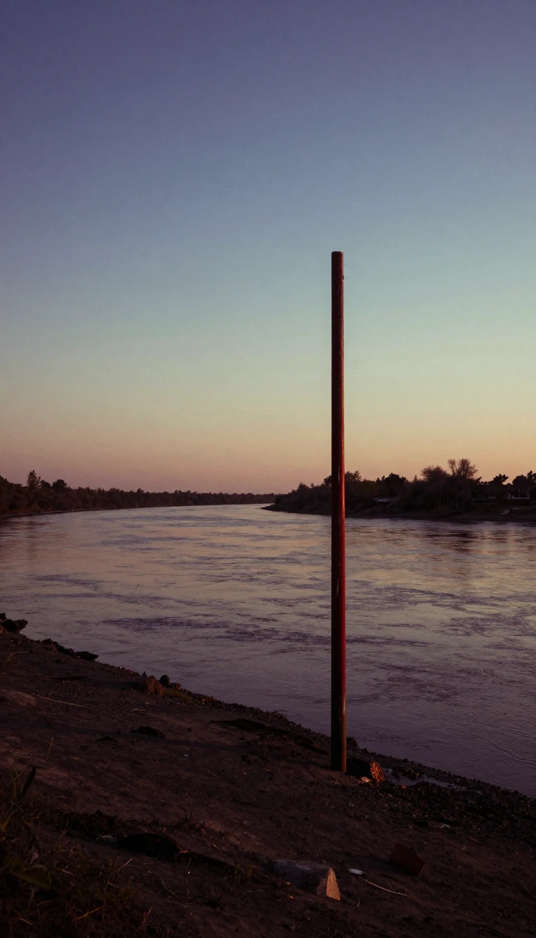
In short: Flowing 1,360 miles through the Great Plains, the Red River is more than a waterway; it is a historical boundary that has triggered Supreme Court rulings, military standoffs, and massive engineering projects. From its reddish, salt-laden headwaters to its swampy Louisiana delta, this river has shaped the American frontier.
The Red River of the South rises in the Texas panhandle, formed by the confluence of Tierra Blanca and Palo Duro Creeks. Its path is defined by its reddish hue, caused by passing through red-bed country. The river’s basin, the second-largest in the southern Great Plains, spans 65,590 square miles across Texas, Oklahoma, Arkansas, and Louisiana. Because the basin is arid, the river’s flow is often intermittent until it reaches its great bend in Arkansas, where it eventually feeds into the Atchafalaya River.
Historically, the river served as a volatile international boundary. Following the 1819 Adams-Onis Treaty, the river's south bank marked the border between the United States and Spanish territory. This boundary remained contentious for decades, leading to the 1852 expedition by Randolph B. Marcy to identify the river's true source. A cartographic error regarding the North and South forks led to a dispute over Greer County, which the US Supreme Court eventually ruled belonged to the United States. In 1931, the Red River Bridge War saw the Oklahoma National Guard mobilized to reopen a bridge after the Texas governor blocked traffic, highlighting the river's ongoing jurisdictional complexity.
The river's navigation was long hindered by the Great Raft, a 160-mile log jam of driftwood that Captain Henry Miller Shreve began clearing in 1839. Later, in 1943, the construction of the Denison Dam created Lake Texoma, a massive reservoir that serves as a critical tool for flood control. Despite these efforts, the river remains prone to extreme events; in June 2015, it reached its highest level in over 70 years, cresting at 37.14 feet and flooding communities across four states. Today, the Red River Boundary Compact of 2000 officially sets the jurisdictional line at the vegetation line on the south bank, acknowledging the river's tendency to meander over time.
Opens the Intellect+ feed with this card first. Swipe up for the next one.
Sources
- Summary by Intellect · source: Red River of the South
To cite this card, link to https://intellectplus.co.uk/app/culture-red-river-of-the-south.
How we source, check and correct cards: Editorial standards.
General information, not professional advice. Spotted an error? Flag the card or see corrections and complaints.
Intellect Plus is a visual educational discovery platform for exploring fascinating facts and ideas. Brain Food, Not Brain Rot. What is Intellect Plus?
Related
More in US culture · More in Cultures · Latest · A–Z · All topics
