Why the United Nations divides the world into regions that nobody actually uses
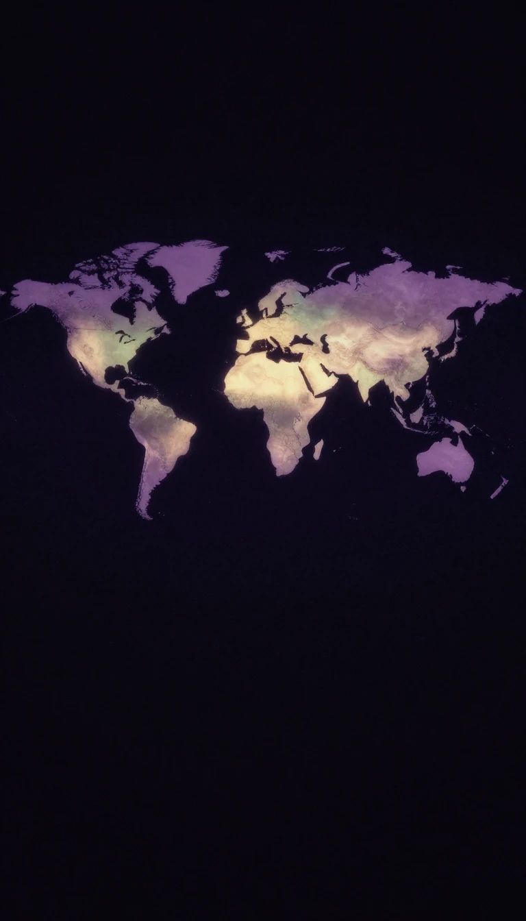
In short: A subregion is a slice of a larger continent, often defined by cardinal directions. While these groupings appear official, they are merely tools for statistical convenience. The United Nations geoscheme is a fluid, evolving framework designed for data analysis, not to reflect political alliances or the lived reality of geography.
The United Nations Statistics Division manages the collection and dissemination of global data. In 1999, the organization established a system of macro-geographical regions and subregions to track progress toward Millennium Development Goals. This framework was never intended to dictate political or cultural boundaries; rather, it is a pragmatic instrument for statistical analysis. The division’s inaugural publication using this system, World's Women 2000: Trends and Statistics, arrived in 2000, setting a precedent for how the UN organizes its reporting.
The inherent tension in these definitions lies in the difference between statistical utility and geographical consensus. For instance, the UN geoscheme places Afghanistan and Iran within Southern Asia, and includes Cyprus, Turkey, and the South Caucasus in Western Asia. These classifications are subject to constant updates based on evolving demographic and political considerations. Because these groupings are created for specific analytical purposes, they often diverge from the definitions used by geographers, who may categorize territories like Mauritania as West Africa or Tibet as part of Central Asia.
This ambiguity highlights that a subregion is a social construct rather than a fixed physical reality. The UN explicitly states that assigning a country to a specific group carries no assumption of political affiliation. This is why lists of subregions often overlap with economic blocs like the Arab League or the Southern African Development Community. Ultimately, these divisions are a reminder that the way we map the world is often a reflection of the specific questions we are trying to answer, rather than an objective truth about the land itself.
Opens the Intellect+ feed with this card first. Swipe up for the next one.
Sources
- Summary by Intellect · source: Subregion
To cite this card, link to https://intellectplus.co.uk/app/culture-subregion.
How we source, check and correct cards: Editorial standards.
General information, not professional advice. Spotted an error? Flag the card or see corrections and complaints.
Intellect Plus is a visual educational discovery platform for exploring fascinating facts and ideas. Brain Food, Not Brain Rot. What is Intellect Plus?
Related
More in Culture · More in Cultures · Latest · A–Z · All topics
