The state that holds both the highest and lowest points in the lower 48
In short: California is a land of extreme physical contrasts, stretching from rainy northern coasts to parched deserts. It contains the highest peak in the conterminous United States and the lowest point, making it a geographical laboratory of dramatic elevation and diverse climates.
California's topography is defined by its dramatic verticality. The state is home to Mount Whitney, the highest point in the 48 conterminous states at 14,494 feet (4,418 meters), which serves as the culminating summit of the Sierra Nevada range. Conversely, the state also contains Death Valley, the lowest point in the same region. This extreme range is further illustrated by the Trans-Sierra desert, where the eastern slope of the Sierra Nevada drops approximately 10,000 feet (3,000 meters) within a mere 10-mile (16-km) stretch near Owens Lake.
The state's heartland is the Central Valley, a 450-mile (725 km) trough sandwiched between the Coast Ranges and the Sierra Nevada. While it serves as a global agricultural powerhouse, its geography is strictly bounded by natural barriers: the Cascade Range to the northeast, the Klamath Mountains to the northwest, and the transverse ranges—specifically the Tehachapi Mountains—which act as a dividing wall between the central and southern regions.
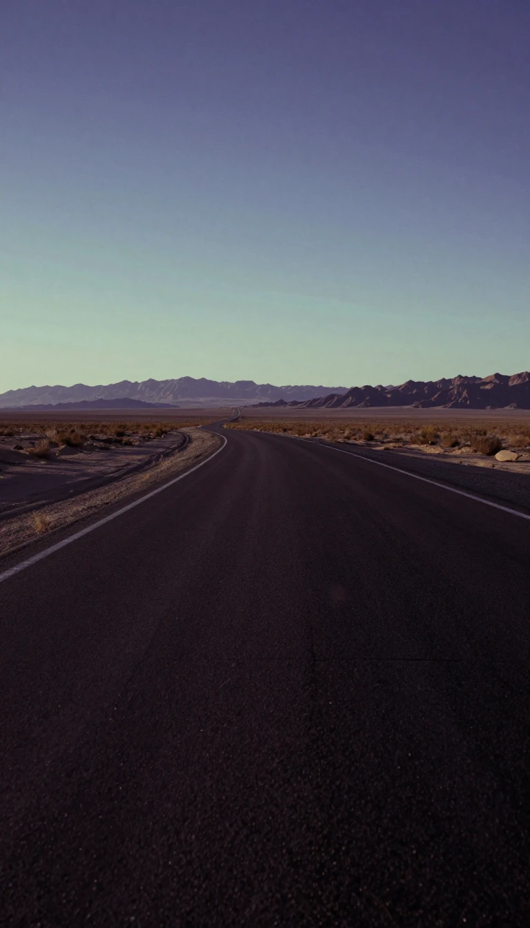
In the south, the landscape shifts toward arid extremes. The Mojave Desert occupies about one-sixth of the state's land area, while the Colorado Desert extends toward the Mexican border. Over 4,000 square miles (10,500 square km) of this arid region are situated beneath the ocean's surface. This includes the Salton Sea, a lake with no outlet created in 1905–07 when the Colorado River broke its channel, illustrating how human engineering and geological shifts can rapidly alter the state's geography.
These diverse environments—from the Mediterranean-like littoral to the volcanic plateaus and rugged northern forests—have shaped a state that serves as a laboratory for new modes of living. The interplay between these varied climates and the state's massive agricultural output, which remains a national lead despite high urbanization, defines California's unique position in the American landscape.
Opens the Intellect+ feed with this card first. Swipe up for the next one.
Sources
- Summary by Intellect · source: California | Flag, Facts, Maps, Capital, Cities, & Destinations | Britannica
- Also: Geography of California
To cite this card, link to https://intellectplus.co.uk/app/history-geography-of-california.
How we source, check and correct cards: Editorial standards.
General information, not professional advice. Spotted an error? Flag the card or see corrections and complaints.
Intellect Plus is a visual educational discovery platform for exploring fascinating facts and ideas. Brain Food, Not Brain Rot. What is Intellect Plus?
Related
More in History by country, small region and city · More in History · Latest · A–Z · All topics
