The California county containing the highest and lowest points in the contiguous U.S.
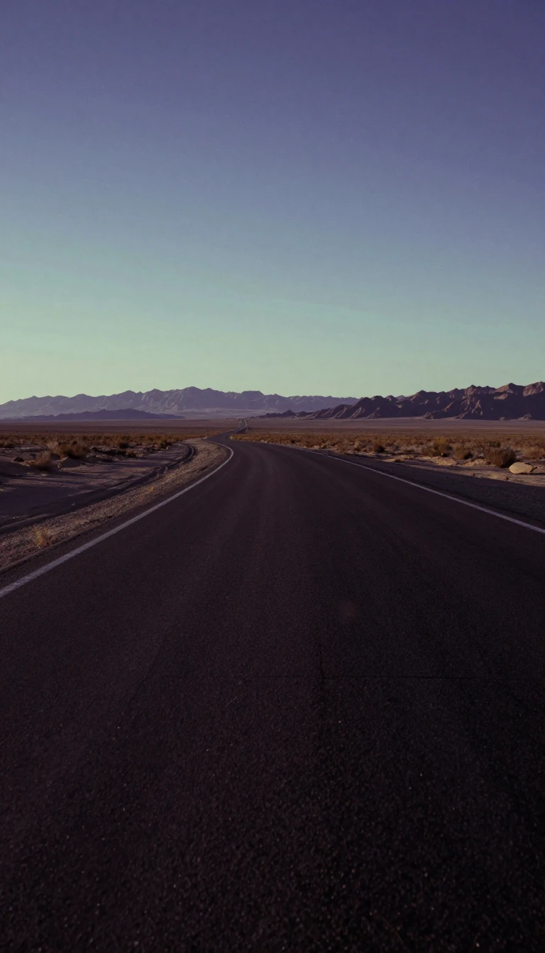
In short: Inyo County holds a geographic extreme: it spans the distance between the highest peak in the contiguous United States and the lowest point in North America. This vast landscape encompasses the Sierra Nevada mountains and the arid expanse of Death Valley, creating a dramatic vertical landscape unlike almost any other.
The county's topography is defined by extreme elevations. On its western border lies Mount Whitney, standing at 14,505 feet (4,421 m). Reaching the highest elevation in the contiguous United States, it ranks as the nation's 12th tallest mountain and North America's 24th highest peak. Conversely, the eastern portion of the county contains Badwater Basin in Death Valley, which sits at 282 feet (86 m) below sea level, making it the lowest point in North America and the second-lowest point in the Western Hemisphere. The area is also home to the ancient Bristlecone pine, Methuselah, which is among the world's oldest living organisms. This diverse environment supports various wildlife, including the Death Valley pupfish and bighorn sheep.
The vertical gap between these two extremes is approximately 14,700 feet (4,500 m). While they are not visible from one another, both can be observed from the Panamint Range above the Panamint Valley. This massive elevation difference makes Inyo County home to the greatest elevation difference of any county or county-equivalent in the contiguous United States. This extreme verticality is a defining feature of the local geography. It creates a unique habitat for species that have adapted to such harsh desert conditions.
Beyond these extremes, the region is characterized by massive mountain ranges and deep valleys. The county is flanked by the Sierra Nevada to the west and the White Mountains and Inyo Mountains to the east. It also contains the Owens River Valley, which is noted as the deepest valley on the American continents. The landscape is so varied that ten of California's twelve 'fourteeners'—peaks exceeding 14,000 feet—are located within the county's borders. The region is also home to the Manzanar War Relocation Center, a significant historical site from World War II. Additionally, the county contains 22 official wilderness areas protected under the National Wilderness Preservation System.
Opens the Intellect+ feed with this card first. Swipe up for the next one.
Sources
- Summary by Intellect · source: Inyo County, California
- Also: Wikidata — Inyo County · CC0
- Also: Wikidata — 2020 COVID-19 pandemic in Inyo County, California · CC0
To cite this card, link to https://intellectplus.co.uk/app/places-inyo-county-california.
How we source, check and correct cards: Editorial standards.
General information, not professional advice. Spotted an error? Flag the card or see corrections and complaints.
Intellect Plus is a visual educational discovery platform for exploring fascinating facts and ideas. Brain Food, Not Brain Rot. What is Intellect Plus?
Related
More in Mountain peaks and volcanos · More in Countries & Cities · Latest · A–Z · All topics
