How a second-century Roman atlas survived for over a millennium without its original maps
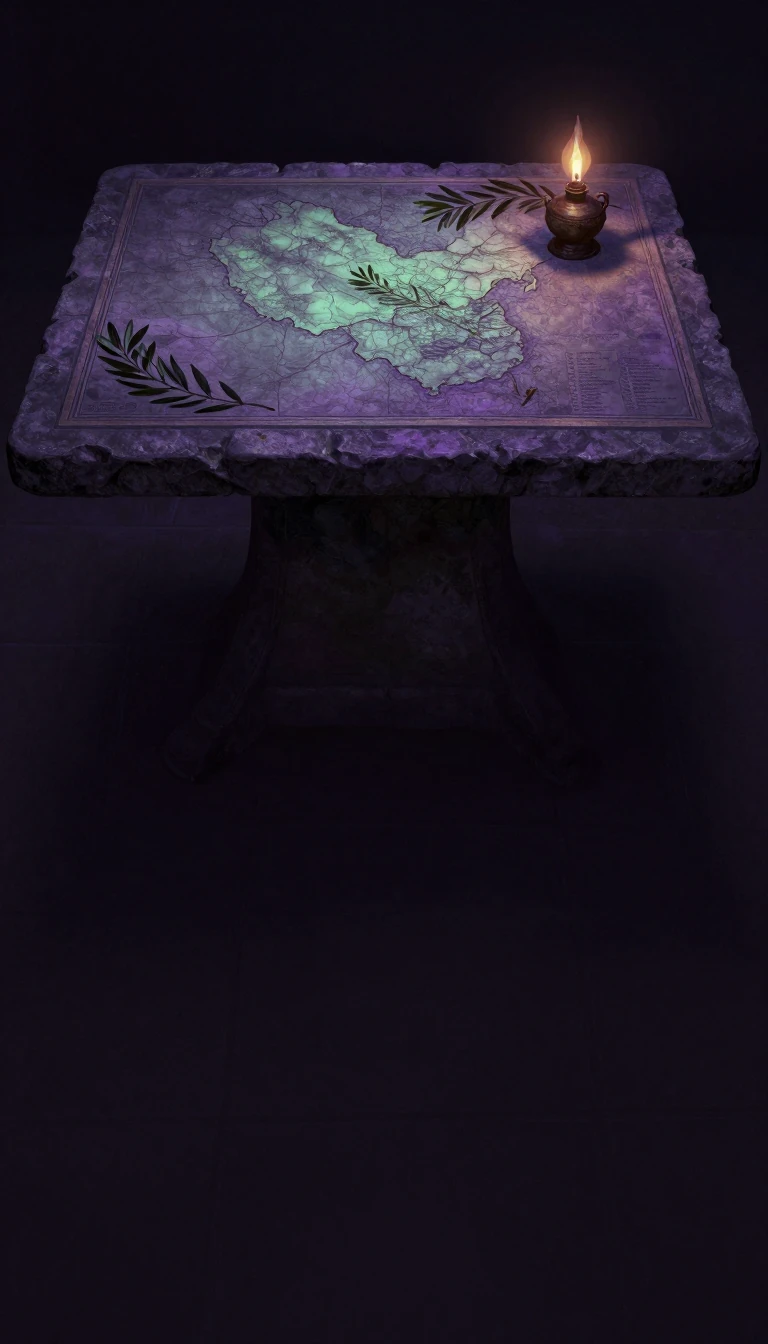
In short: Claudius Ptolemy’s Geography was a revolutionary attempt to encode the known world into coordinates. Though the original maps were lost to time, the text survived through the Middle Ages. By the 13th century, scholars were forced to reconstruct the entire atlas from scratch using only Ptolemy’s precise numerical data.
Written in Alexandria around 150 AD, Ptolemy’s Geography was far more than a simple map collection. It functioned as a comprehensive treatise on cartography, providing the mathematical framework for mapping the Roman Empire’s known world, or 'ecumene'. Ptolemy prioritized astronomical observations over travel logs, correcting the work of his predecessor, Marinus of Tyre, to create a more accurate representation of the globe.
The survival of this work is a testament to the power of data. While no Greek manuscripts exist from before the 13th century, the text was preserved through Byzantine and Islamic traditions. In 1295, the monk Maximus Planudes famously searched for a copy to reconstruct the maps using only the coordinates provided in the text. This feat proved that Ptolemy had successfully encoded spatial reality into words and numbers, allowing later scribes to recreate the visual atlas from his instructions.
The work is divided into eight books. The first serves as a theoretical guide on projection systems, while books two through seven contain a massive gazetteer of roughly 8,000 toponyms with latitude and longitude. Book eight acts as an atlas, providing regional descriptions that served as captions for maps. Modern scholars, such as those behind the 2006 critical edition, continue to analyze the 'stemma' of surviving manuscripts to distinguish between the original text and later Byzantine revisions.
Ptolemy’s influence was profound, shaping cartography through the Renaissance. His system used a Prime Meridian through the Fortunate Isles, near the Canary Islands, and spanned 180 degrees of longitude. Though he knew Europe understood only a quarter of the globe, his methodology for projecting a spherical world onto a flat plane remains a cornerstone of the history of science.
Opens the Intellect+ feed with this card first. Swipe up for the next one.
Sources
- Summary by Intellect · source: Geography (Ptolemy)
To cite this card, link to https://intellectplus.co.uk/app/history-geography-ptolemy.
How we source, check and correct cards: Editorial standards.
General information, not professional advice. Spotted an error? Flag the card or see corrections and complaints.
Intellect Plus is a visual educational discovery platform for exploring fascinating facts and ideas. Brain Food, Not Brain Rot. What is Intellect Plus?
Related
More in Empires & civilisations · More in History · Latest · A–Z · All topics
