Why the rare mackerel sky is a beautiful warning of changing weather
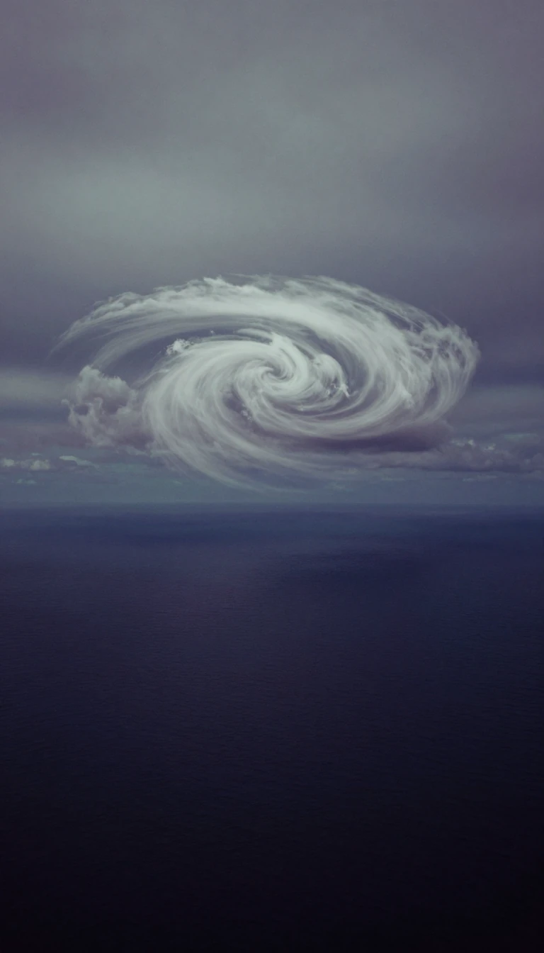
In short: High above the earth, cirrocumulus clouds form delicate, rippled patterns that resemble the scales of a fish. While these rare, icy formations often signal fair weather, their appearance can be a deceptive prelude to incoming storms. Understanding these high-altitude cloudlets reveals the complex, turbulent dynamics occurring in the upper troposphere.
Cirrocumulus clouds are a rare, high-altitude phenomenon found between 20,000 and 40,000 feet. Composed almost entirely of ice crystals, they appear as small, regularly spaced white cloudlets that often form ripples or honeycomb patterns. Because of their distinctive, scaly appearance, they are frequently referred to as a mackerel sky. Unlike other high-altitude clouds, these formations are unique because they contain supercooled water—liquid water that remains unfrozen despite temperatures well below 0°C. This combination of ice and supercooled liquid is what gives the clouds their characteristic puffy, cumulus-like shape.
The formation of these clouds requires specific atmospheric conditions, typically occurring when turbulent vertical currents intersect with a layer of cirrus clouds. They can also emerge from the spreading of contrails left by aircraft in the dry upper troposphere. Because they are composed of ice, any precipitation they produce evaporates before reaching the ground, a phenomenon known as virga. Consequently, these clouds do not bring rain to the surface, but they are often associated with the leading edge of a warm front.
Meteorologically, cirrocumulus serves as a subtle indicator of shifting conditions. While small, isolated patches often suggest a continuation of fair weather, their presence can also warn of approaching storms. Because they are short-lived and often represent a transitional phase in the sky, they are categorized into four distinct species: stratiformis, which forms flat sheets; lenticularis, which appears as high-level icy lenses; floccus, characterized by fluffy, rugged tufts; and castellanus, which features tiny, turret-like vertical developments. Observing these patterns allows for a glimpse into the high-altitude convection that dictates the transition of weather systems.
Distinguishing cirrocumulus from other high-level clouds is essential for accurate observation. They are smaller than altocumulus cloudlets and, unlike lower-altitude clouds, they never cast shadows on themselves. Their beauty is most pronounced during sunrise and sunset, when they reflect vibrant red, orange, and yellow hues. Whether appearing as a delicate veil or a textured ripple, these clouds remain one of the most fascinating and transient features of the upper atmosphere.
Opens the Intellect+ feed with this card first. Swipe up for the next one.
Sources
- Summary by Intellect · source: High clouds
- Also: Cirrocumulus cloud
To cite this card, link to https://intellectplus.co.uk/app/nature-cirrocumulus-cloud.
How we source, check and correct cards: Editorial standards.
General information, not professional advice. Spotted an error? Flag the card or see corrections and complaints.
Intellect Plus is a visual educational discovery platform for exploring fascinating facts and ideas. Brain Food, Not Brain Rot. What is Intellect Plus?
Related
More in Air · More in Nature · Latest · A–Z · All topics
