What defines a geologic province and why do these boundaries matter for our planet?
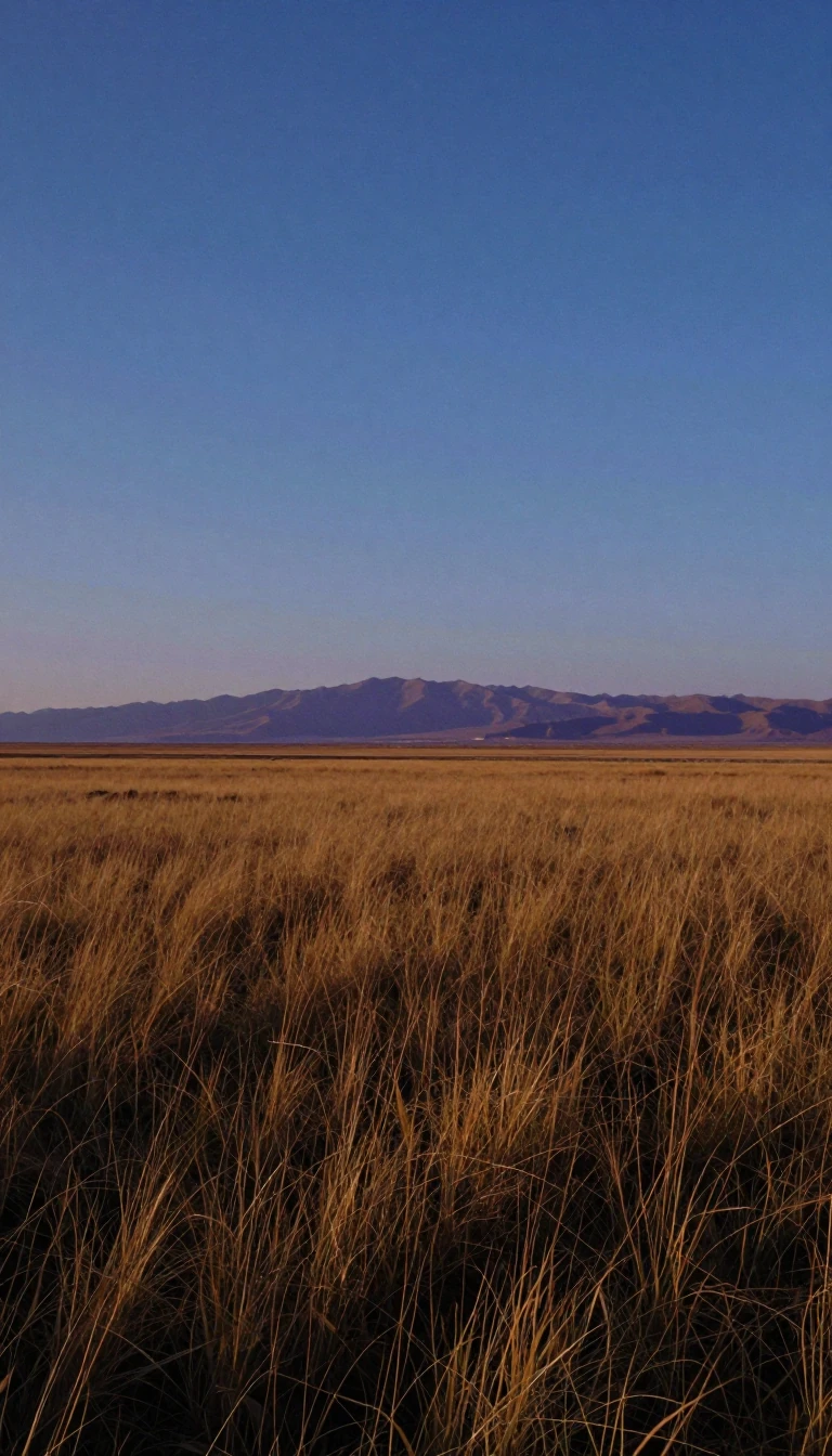
In short: A geologic province is a distinct spatial entity defined by shared physical characteristics. Whether shaped by a single dominant structure like a basin or a collection of related elements, these regions help geologists categorize the Earth. Understanding these boundaries reveals the unique history and resource potential hidden beneath our feet.
At its core, a geologic province acts as a classification tool for the Earth's crust. These regions are defined by common geologic attributes, which might include structural elements like fold belts or basins. While two adjacent areas might appear structurally similar, they are often classified as separate provinces if their historical development differs. This distinction is vital for mapping the complex, layered narrative of the planet's evolution.
Beyond structural analysis, these provinces serve as essential frameworks for resource exploration. Many classifications are based specifically on the presence of mineral deposits or fossil fuels. For instance, the Niger Delta is recognized as a specific petroleum province. By identifying these zones, researchers can better predict where valuable resources are likely to be found, turning geological theory into practical economic insight.
The concept also intersects with the science of geochronology and thermal history. Rocks within a province often share thermal signatures, which can be complicated by events that trigger new mineral growth. For example, when rocks reach temperatures around 750 °C (1,382 °F), they may undergo new zircon growth. Because such thermal events are rare, these signatures help scientists distinguish between different provinces and understand the intensity of the geological forces that shaped them over time.
Ultimately, mapping these provinces is a global endeavor, with organizations like NASA and the USGS maintaining comprehensive records. These maps, such as the Geologic Provinces of the United States, provide a vital record of an active Earth. By organizing the planet into manageable, attribute-based segments, geologists can better interpret the vast, often chaotic, history of the crust and the processes that continue to drive change today.
Opens the Intellect+ feed with this card first. Swipe up for the next one.
Sources
- Summary by Intellect · source: Geologic province
- Also: Geologic province | Britannica
To cite this card, link to https://intellectplus.co.uk/app/nature-geologic-province.
How we source, check and correct cards: Editorial standards.
General information, not professional advice. Spotted an error? Flag the card or see corrections and complaints.
Intellect Plus is a visual educational discovery platform for exploring fascinating facts and ideas. Brain Food, Not Brain Rot. What is Intellect Plus?
Related
More in Geology · More in Nature · Latest · A–Z · All topics
