Passive margins are not inactive, but are the world's most productive geological frontiers
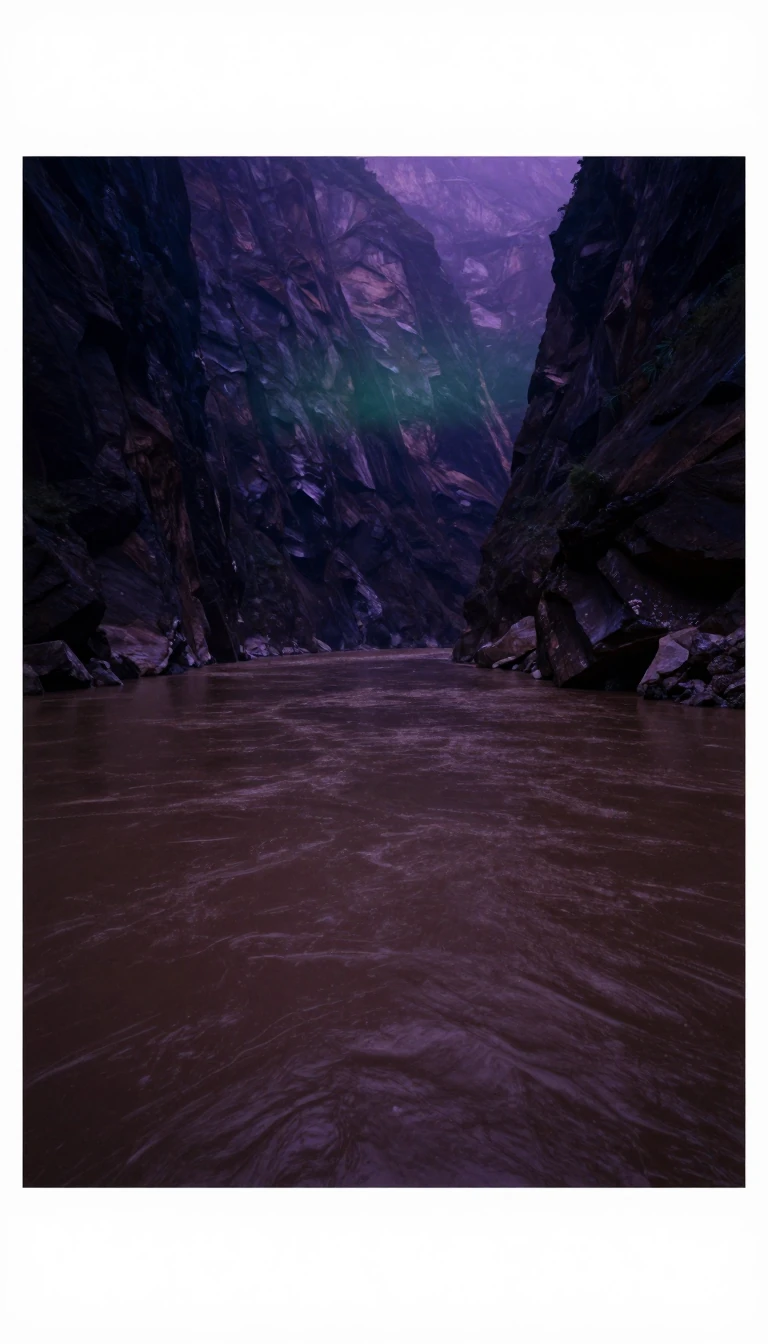
In short: Far from being geological dead zones, passive margins are dynamic, evolving structures that define the edges of our continents. They are the transition points between continental and oceanic crust, shaped by ancient rifting, thermal subsidence, and massive sediment accumulation. These regions are also critical, holding over 30% of the world's giant oil fields.
A passive margin is the transition between continental and oceanic lithosphere that is not an active plate boundary. These margins form through a three-stage process: initial continental rifting, the development of an oceanic basin, and finally, thermal subsidence. As the crust stretches and thins, the underlying mantle upwells and heats the lithosphere, reducing its density. Once seafloor spreading begins, the margin migrates away from the heat source, allowing the lithosphere to cool, thicken, and subside, creating space for massive sediment accumulation.
The architecture of these margins is highly heterogeneous. Geologists classify them based on four perspectives: map-view formation geometry, the nature of the transitional crust, the complexity of the crustal transition, and sedimentation patterns. Transitional crust—the foundation of any passive margin—is categorized as either volcanic or non-volcanic. Volcanic margins are marked by massive igneous activity, including dykes, sills, and seaward-dipping reflectors, often associated with plume-fed accretion. In contrast, non-volcanic or magma-poor margins, such as the Iberian margin, exhibit less melting and may even expose serpentinized mantle.
Sedimentation plays a defining role in the morphology of mature margins. Constructional margins, like the Gulf of Mexico, rely on river-borne clastic input and biogenic processes to build extensive shelves. Conversely, sediment-starved margins, such as the Red Sea, remain narrow due to arid conditions and limited fluvial transport. These margins are not merely passive; they are sites of active growth faulting, pore fluid migration, and continuous subsidence. Because they host such thick sedimentary wedges, they are primary targets for petroleum exploration, accounting for 31% of the 592 giant oil fields analyzed in a 2001 study by Mann et al.
Understanding these margins requires looking beneath the surface to the transitional crust. Whether simple or complex—containing stranded continental blocks like the Grand Banks—these regions dictate the distribution of resources and the morphology of our coastlines. By studying the interplay between heat flow, crustal thinning, and sediment supply, geologists can better predict the evolution of these vast, critical zones that border nearly every major ocean.
Opens the Intellect+ feed with this card first. Swipe up for the next one.
Sources
- Summary by Intellect · source: Passive margin
To cite this card, link to https://intellectplus.co.uk/app/nature-passive-margin.
How we source, check and correct cards: Editorial standards.
General information, not professional advice. Spotted an error? Flag the card or see corrections and complaints.
Intellect Plus is a visual educational discovery platform for exploring fascinating facts and ideas. Brain Food, Not Brain Rot. What is Intellect Plus?
Related
More in Geology · More in Nature · Latest · A–Z · All topics
