Why a sudden snow squall can be more dangerous than a massive blizzard
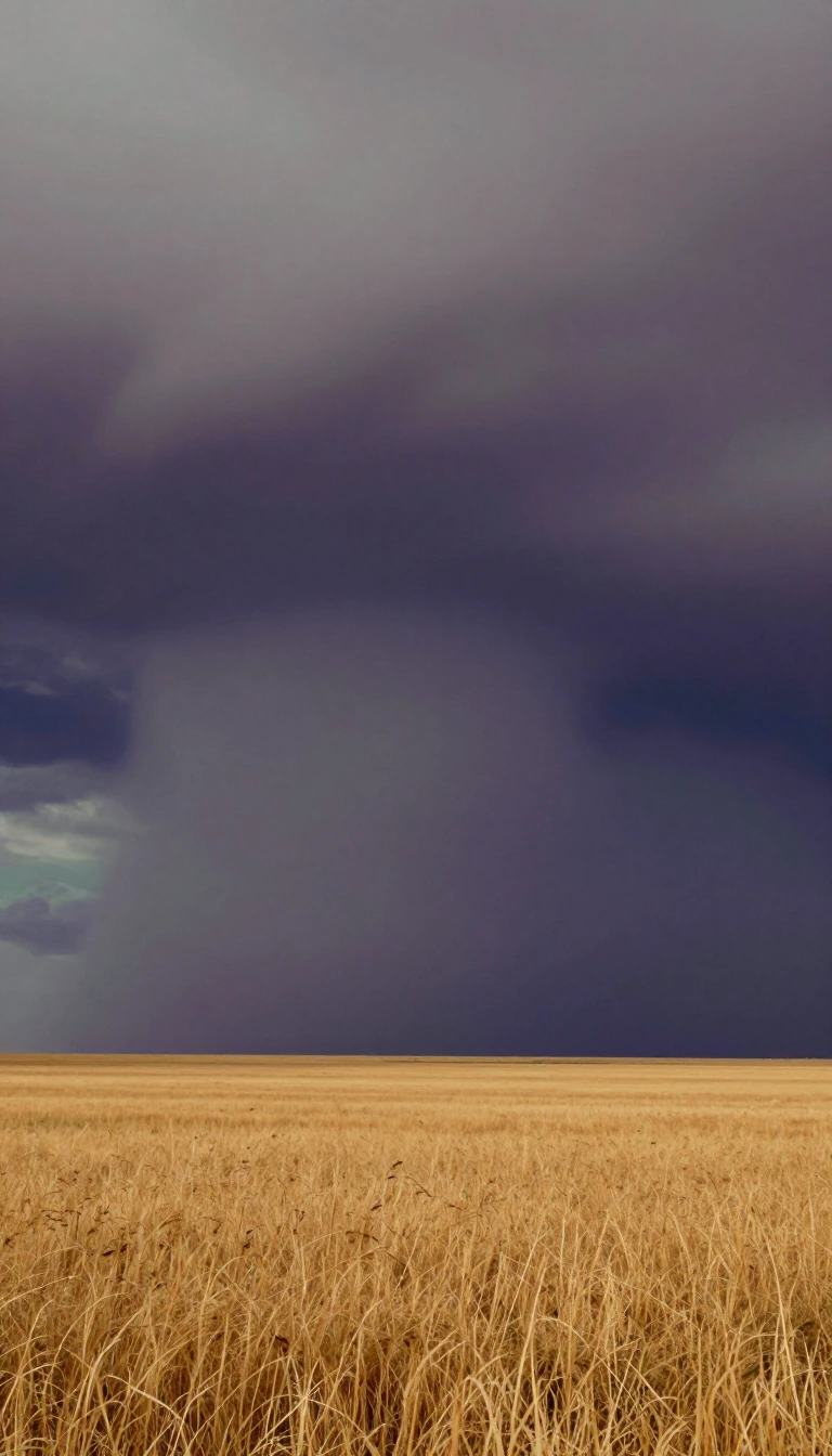
In short: Snow squalls strike with little warning, turning clear roads into blinding whiteouts in minutes. Unlike sprawling blizzards, these intense, localized bursts of heavy snow and gusty winds catch travelers off guard. Whether fueled by lake-effect moisture or fast-moving cold fronts, they create treacherous conditions that frequently trigger major highway pile-ups.
Snow squalls are intense, short-lived weather events characterized by sudden, heavy snowfall and powerful winds. While they share the whiteout conditions of a blizzard, they are distinct in their localized nature and rapid onset. Meteorologists categorize them into two primary types: lake-effect and frontal. Lake-effect squalls occur when frigid arctic air passes over relatively warm, open water, picking up moisture that condenses into narrow, heavy snow bands. These bands are particularly common in regions known as snowbelts, where they can deposit several inches of snow per hour.
Frontal snow squalls behave more like a winter version of a summer squall line. These events form along intense convective lines, often associated with cold fronts or trough passages. While a frontal squall typically lasts less than 30 minutes at any specific location, the line itself can travel vast distances. In some instances, multiple bands may pass over the same area in rapid succession, separated by only about 25 miles. These systems are notoriously difficult to track because their cloud tops are relatively low, often reaching only 5,000 to 10,000 feet, making them hard to detect on standard radar.
The danger posed by these events is significant, particularly for motorists. The abrupt transition from clear visibility to a complete whiteout, combined with rapidly accumulating snow, creates extreme hazards. The risk is so severe that even a localized squall can lead to catastrophic multi-vehicle accidents, such as the 2015 incident on Michigan's I-94 that involved nearly 200 vehicles. In rare, extreme cases, these squalls can even develop into supercells capable of producing tornadoes. Forecasting these events requires monitoring specific atmospheric conditions, such as sharp frontal troughs and low-level jets exceeding 30 knots, to provide adequate warning before the squall strikes.
Opens the Intellect+ feed with this card first. Swipe up for the next one.
Sources
- Summary by Intellect · source: Snow squall
To cite this card, link to https://intellectplus.co.uk/app/nature-snow-squall.
How we source, check and correct cards: Editorial standards.
General information, not professional advice. Spotted an error? Flag the card or see corrections and complaints.
Intellect Plus is a visual educational discovery platform for exploring fascinating facts and ideas. Brain Food, Not Brain Rot. What is Intellect Plus?
Related
More in Air · More in Nature · Latest · A–Z · All topics
