The invisible line at the bottom of a river that defines international borders.
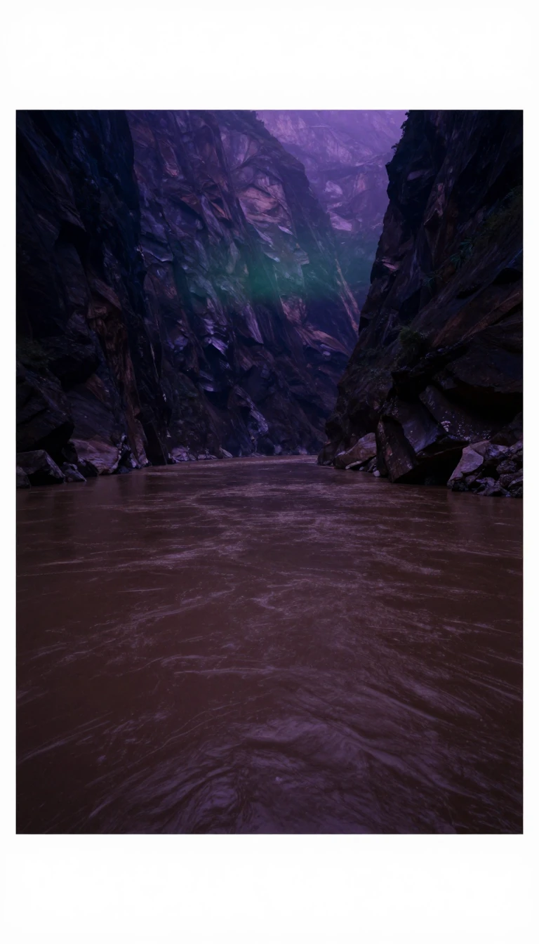
In short: A thalweg is the deepest path through a watercourse, marking the natural route of the current. While geographers use it to map valleys, international law uses it to settle territorial disputes. By following the center of the primary navigable channel, nations avoid conflict over who owns the water.
The term thalweg originates from 19th-century German, combining the words for valley and way. In geography, it identifies the lowest elevation line along a stream bed or valley floor. This line traces the deepest channel, dictating the natural flow and profile of the watercourse. Occasionally, the term describes subterranean streams that mirror the path of surface water.
In legal contexts, the thalweg doctrine serves as a default rule for defining boundaries between political entities. When a border is defined by a waterway without specific instructions, the boundary is presumed to follow the center of the principal navigable channel. This approach ensures that vessels can navigate the river while remaining within their home territory. The Treaty of Versailles notably adopted this principle, specifying that boundaries follow the median line of the main navigation channel.
The application of this principle has been central to numerous historical and modern territorial disputes. Conflicts involving the Shatt al-Arab, the Danube, and the Courantyne River have all required interpretation of the thalweg. In 1999, the International Court of Justice utilized this doctrine to resolve a disagreement between Namibia and Botswana over Kasikili/Sedudu Island. Similarly, the principle was invoked during 20th-century tensions between the USSR and China regarding Zhenbao Island.
Beyond legal borders, the thalweg is a focus of environmental management. Engineers may place boulders along the thalweg to stabilize riverbeds and mitigate erosion. By creating artificial sills, they can protect natural resources and prevent streams from drying up during late summer. This technique, prototyped in Meacham Creek, Oregon, helps maintain the balance of sediment and preserves local wildlife habitats even when flow rates fluctuate significantly.
Opens the Intellect+ feed with this card first. Swipe up for the next one.
Sources
- Summary by Intellect · source: Thalweg
To cite this card, link to https://intellectplus.co.uk/app/nature-thalweg.
How we source, check and correct cards: Editorial standards.
General information, not professional advice. Spotted an error? Flag the card or see corrections and complaints.
Intellect Plus is a visual educational discovery platform for exploring fascinating facts and ideas. Brain Food, Not Brain Rot. What is Intellect Plus?
Related
More in Water · More in Nature · Latest · A–Z · All topics
