The water table is a dynamic, shifting boundary beneath your feet, not a static pool.
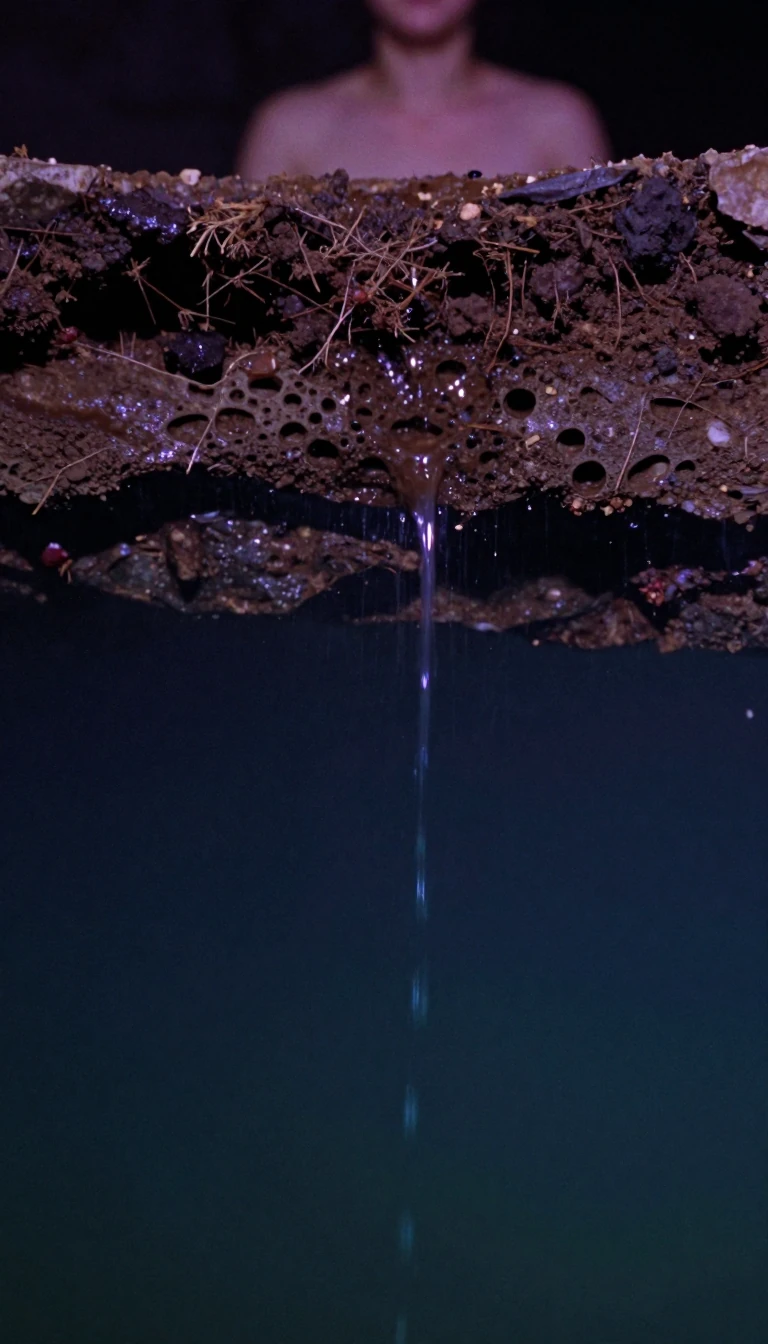
In short: Beneath the surface lies a complex, moving reservoir that dictates everything from crop yields to construction feasibility. Far from a simple underground lake, the water table is a fluctuating boundary shaped by rainfall, geology, and human intervention. Understanding this hidden system is essential for managing our most vital natural resource.
The water table represents the upper surface of the zone of saturation, the depth below which soil pores and rock fractures are completely filled with groundwater. Above this lies the vadose zone, where the ground remains unsaturated. This boundary is rarely static; it rises when recharge from precipitation exceeds natural discharge and human-led abstraction, and it falls when extraction or evaporation outpaces replenishment. Because this balance is sensitive to climatic conditions, monitoring these levels over several years allows scientists to predict how aquifers will respond to future hydrological shifts.
Measuring the water table requires precision, often involving observation boreholes where levels are recorded manually with a dipper or automatically via pressure transducers. In the United Kingdom, the British Geological Survey maintains the National Groundwater Level Archive, tracking diverse geological formations ranging from Chalk and Carboniferous limestone to Permo–Triassic sandstone. These measurements are critical for calibrating groundwater models, which help experts quantify resources and assess the impact of human activity on local water storage.
The water table does not always mirror the surface topography, as its shape is dictated by the underlying geological structure and the hydraulic gradient—the slope created by the movement of water from high-pressure to low-pressure areas. In some cases, impermeable layers can trap water above the regional water table, creating a perched aquifer. Conversely, in regions like deserts, 'fossil water'—groundwater trapped for millennia—cannot be renewed by current rainfall, meaning any extraction leads to a permanent, irreversible drop in the local water table.
Managing these levels is a practical necessity. A high water table can complicate construction, requiring constant pumping to keep excavation sites dry, as seen in cities like Berlin. Furthermore, the depth of the water table directly influences agricultural productivity, as many crops suffer yield declines if the saturation zone sits too close to the surface. By analyzing long-term data, researchers can better understand these complex interactions, ensuring that groundwater remains a sustainable resource for the future.
Opens the Intellect+ feed with this card first. Swipe up for the next one.
Sources
- Summary by Intellect · source: Groundwater level data - BGS Groundwater
- Also: Water table
To cite this card, link to https://intellectplus.co.uk/app/nature-water-table.
How we source, check and correct cards: Editorial standards.
General information, not professional advice. Spotted an error? Flag the card or see corrections and complaints.
Intellect Plus is a visual educational discovery platform for exploring fascinating facts and ideas. Brain Food, Not Brain Rot. What is Intellect Plus?
Related
More in Water · More in Nature · Latest · A–Z · All topics
