Why the Graveyard of the Atlantic is the most dangerous cape for American ships
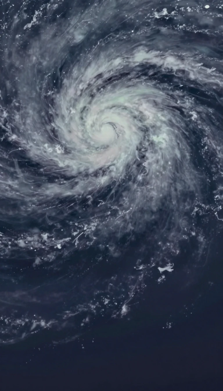
In short: Cape Hatteras, a sharp bend in North Carolina's Outer Banks, is a maritime nightmare. Known as the Graveyard of the Atlantic, its shifting sand ridges and turbulent waters have claimed over 600 ships. It remains a high-risk zone for hurricanes, yet it is also a site of immense natural resilience.
Cape Hatteras is a temperate barrier island system shaped by relentless wind, waves, and storms. It serves as the meeting point for two major East Coast basins, creating a unique environment where the Atlantic Ocean meets the Pamlico Sound. This exposed position makes it the wettest coastal location in North Carolina, receiving over 61 inches of rain annually. It is also arguably the most hurricane-prone area on the U.S. eastern seaboard, frequently catching storms that move northward along the coast.
The area's reputation as the Graveyard of the Atlantic stems from its treacherous geography. Diamond Shoals, a series of hidden, shifting sand ridges, has long threatened mariners who hug the coast to utilize ocean currents. Over the past 400 years, these hazards have caused hundreds of shipwrecks. In response, the area became a hub for the United States Life-Saving Service in the 1870s, and the iconic Cape Hatteras Lighthouse was constructed in 1870 to guide vessels. Standing at 198.48 feet, it remains the tallest lighthouse in the United States.
The landscape is as dynamic as the weather. In 2003, Hurricane Isabel carved a new inlet through Hatteras Island, severing the main road and forcing students to rely on ferries. The damage was so severe that the Army Corps of Engineers spent nearly two months filling the breach. Even the lighthouse has required human intervention to survive; in 1999, the 4,830-ton structure was moved 2,900 feet inland to escape the encroaching shoreline. Today, the cape serves as a protected National Seashore, preserving a fragile ecosystem that continues to adapt to the constant pressure of the Atlantic.
Beyond its maritime history, the cape has played a role in modern surveillance. From 1956 to 1982, the Naval Facility Cape Hatteras operated as a secret shore terminal for the Atlantic Sound Surveillance System, tracking submarines under the guise of oceanographic research. Today, the area is a popular destination for recreation, though it remains a place where the power of nature dictates the terms of human presence.
Opens the Intellect+ feed with this card first. Swipe up for the next one.
Sources
- Summary by Intellect · source: Cape Hatteras
- Also: Wikidata — Cape Hatteras · CC0
- Also: www.nps.gov — Cape Hatteras National Seashore (U.S. National Park Service)
- Also: www.britannica.com — Cape Hatteras | cape, North Carolina, United States | Britannica
- Also: Wikidata — Cape Hatteras Light · CC0
To cite this card, link to https://intellectplus.co.uk/app/places-cape-hatteras.
How we source, check and correct cards: Editorial standards.
General information, not professional advice. Spotted an error? Flag the card or see corrections and complaints.
Intellect Plus is a visual educational discovery platform for exploring fascinating facts and ideas. Brain Food, Not Brain Rot. What is Intellect Plus?
Related
More in Capes · More in Countries & Cities · Latest · A–Z · All topics
