How Norse settlers and Inuit farmers turned the Arctic edge into a thriving landscape
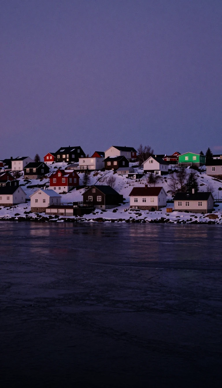
In short: Kujataa, a sub-arctic region in Greenland, represents the earliest known instance of farming in the Arctic. It serves as a rare historical bridge, showcasing the ancient Norse expansion into the North Atlantic alongside centuries of Inuit agricultural tradition, all preserved within a unique, rugged landscape at the edge of the ice.
Kujataa, located in the Kujalleq region of Greenland, spans roughly 250 kilometers from Nunap Isua to Nunarsuit Island. In 2017, UNESCO recognized this area as a World Heritage site for its exceptional history of Norse and Inuit farming. The region holds the distinction of being the oldest evidence of Old Norse culture extending beyond the borders of Europe, with roots stretching back to the 10th century.
When Erik the Red led Norse settlers to the area, they adapted their agricultural methods to the harsh environment. Unlike their European counterparts, these settlers prioritized hunting seals and walruses over cereal crops and favored raising goats. They also engineered sophisticated irrigation systems to sustain their livestock, some of which remain the only surviving examples of their kind in the North Atlantic. At the height of the Eastern Settlement in the 13th century, the region supported between 200 and 300 farms and maintained its own bishopric.
The landscape is defined by five distinct components, including Qassiarsuk, home to the estate of Erik the Red, and Qaqortukulooq, which houses the best-preserved Norse ruin in Greenland. The site also marks the final documented mention of Europeans in the region in 1408. Following the disappearance of Norse villages by the 15th century, agriculture remained largely absent until the 1780s. It was then that Tuperna and Anders Olsen established a farm at Igaliku, initiating a period of continuous Inuit farming that persists today. This history reflects a long, complex period of coexistence between the Thule people and Norse settlers that may have spanned two and a half centuries.
The archaeological record of Kujataa is deep, with evidence of human presence dating to the 3rd millennium BC, starting with the Arctic small tool tradition. While the Norse presence eventually faded, the region's agricultural legacy was successfully revived, blending medieval Norse infrastructure with modern Inuit practices. Today, the area remains a testament to human resilience in one of the world's most challenging climates.
Opens the Intellect+ feed with this card first. Swipe up for the next one.
Sources
- Summary by Intellect · source: Kujataa
- Also: Wikidata — Kujataa · CC0
To cite this card, link to https://intellectplus.co.uk/app/places-kujataa.
How we source, check and correct cards: Editorial standards.
General information, not professional advice. Spotted an error? Flag the card or see corrections and complaints.
Intellect Plus is a visual educational discovery platform for exploring fascinating facts and ideas. Brain Food, Not Brain Rot. What is Intellect Plus?
Related
More in World Heritage Sites · More in Countries & Cities · Latest · A–Z · All topics
