The ancient red ridges of central Australia hold secrets of a vanished inland sea
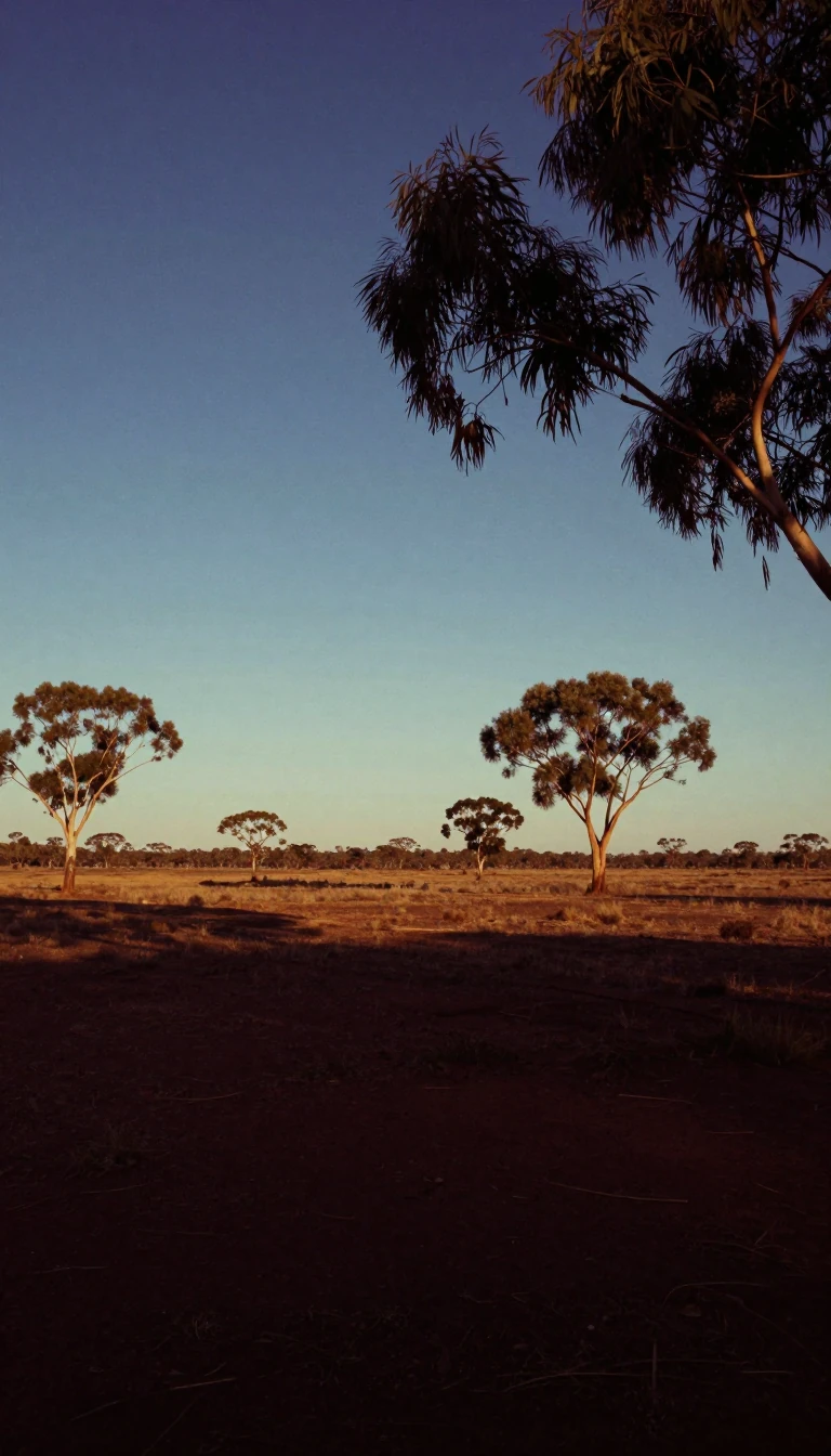
In short: Stretching 644 kilometres across the Northern Territory, the MacDonnell Ranges are more than just a mountain chain. Formed 300 to 350 million years ago, these parallel ridges contain fossilized evidence of an ancient inland sea, unique microclimates supporting endemic species, and profound cultural sites sacred to the Arrernte people.
Known as Tjoritja to the Arrernte people, the MacDonnell Ranges define the landscape of central Australia. The range is a complex series of parallel ridges extending east and west of Alice Springs, characterized by iconic red quartzite peaks and deep, dramatic gorges. While the mountains were forged by a massive tectonic event hundreds of millions of years ago, their current form is the result of relentless folding, faulting, and erosion. This geological history is written in the rock, where fossil evidence remains of the inland sea that once blanketed the region.
The range serves as a vital hydrological hub, acting as the headwaters for the Todd, Finke, and Sandover rivers. Its rugged topography creates diverse microclimates, particularly around cold rock pools, which have allowed endemic species like the centralian tree frog to thrive. This biological richness is protected by the West MacDonnell National Park, established in 1984, which also supports the Larapinta Trail—a 223-kilometre path that traverses the spine of the mountains, offering access to sites like Standley Chasm and Ormiston Pound.
Human history in the region is as deep as the geology. John McDouall Stuart named the ranges after Sir Richard MacDonnell during his 1860 expedition, though the land has been central to the Arrernte for millennia. Sites such as Emily Gap and N’Dhala Gorge feature significant Aboriginal rock art, while the ranges themselves have inspired generations of artists, most notably Albert Namatjira. Today, the mountains are a critical corridor for modern infrastructure, including the Stuart Highway and the Adelaide–Darwin rail line, which pass through the Heavitree Gap—a natural water gap carved by the Todd River.
Opens the Intellect+ feed with this card first. Swipe up for the next one.
Sources
- Summary by Intellect · source: MacDonnell Ranges
- Also: Wikidata — MacDonnell Ranges · CC0
- Also: Wikidata — MacDonnell Ranges 1949 · CC0
To cite this card, link to https://intellectplus.co.uk/app/places-macdonnell-ranges.
How we source, check and correct cards: Editorial standards.
General information, not professional advice. Spotted an error? Flag the card or see corrections and complaints.
Intellect Plus is a visual educational discovery platform for exploring fascinating facts and ideas. Brain Food, Not Brain Rot. What is Intellect Plus?
Related
More in Land relief · More in Countries & Cities · Latest · A–Z · All topics
