Mount Rinjani: The Indonesian Volcano That Once Triggered Global Cooling and Failed Harvests
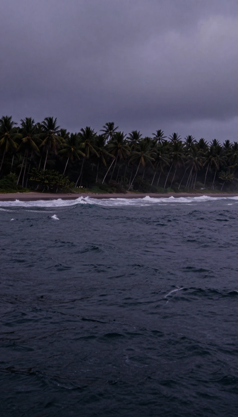
In short: Rising 3,726 metres above Lombok, Mount Rinjani is more than a scenic landmark. Its 13th-century eruption was so violent it likely altered the global climate. Today, this active stratovolcano remains a sacred site for the Sasak people and a centerpiece of a protected UNESCO Global Geopark.
Mount Rinjani, located on the Indonesian island of Lombok, is a formidable active stratovolcano reaching an elevation of 3,726 metres. It is the second-highest volcano in Indonesia and sits within the Pacific Ring of Fire. The mountain is defined by the massive Segara Anak caldera, which spans 6-by-8.5 kilometres and contains a deep, striking blue crater lake. This caldera was formed by the eruption of a prehistoric mountain named Samalas, which stood taller than the current Rinjani before its collapse in the 13th century.
The 1257 Samalas eruption is considered one of the most powerful volcanic events of the last 2,000 years. Scientists have linked high sulfur concentrations found in global ice core samples to this specific blast, which may have triggered widespread crop failures and a period of global cooling. Before this cataclysm, the landscape was vastly different, with the caldera forming only after the mountain's summit was destroyed. Today, the volcano's activity is largely centered on the post-caldera cone, Gunung Barujari, which continues to shape the caldera floor through ongoing lava flows and explosive events.
Geologically, Rinjani is part of the Sunda Arc, formed by the subduction of the Indo-Australian oceanic crust. The region is characterized by complex tectonic activity, including the Sumba Fracture, which creates a significant discontinuity between the eastern and western sections of the arc. Despite its volatile nature, the mountain holds deep spiritual significance for the indigenous Sasak people, who utilize the area for religious ceremonies. In 2018, the Mount Rinjani Caldera was officially recognized as part of the UNESCO Global Geoparks Network, balancing its status as a dangerous geological feature with its role as a vital nature reserve and cultural heritage site.
While the mountain is a popular destination for trekkers and tourists, it remains a site of constant monitoring. The Center of Volcanology and Geological Hazard Mitigation tracks seismic activity and plume emissions to manage risks, such as the cold lahars that have historically posed threats to nearby villages. The interplay between the fertile, cultivated lowlands and the rugged, forest-clad highlands makes Rinjani a unique study in how human communities adapt to life in the shadow of one of the world's most explosive volcanic systems.
Opens the Intellect+ feed with this card first. Swipe up for the next one.
Sources
- Summary by Intellect · source: Mount Rinjani
- Also: Wikidata — Mount Rinjani National Park · CC0
- Also: Wikidata — Rinjani · CC0
To cite this card, link to https://intellectplus.co.uk/app/places-mount-rinjani.
How we source, check and correct cards: Editorial standards.
General information, not professional advice. Spotted an error? Flag the card or see corrections and complaints.
Intellect Plus is a visual educational discovery platform for exploring fascinating facts and ideas. Brain Food, Not Brain Rot. What is Intellect Plus?
Related
More in World Heritage Sites · More in Countries & Cities · Latest · A–Z · All topics
