The Northland Peninsula is a geological traveler that once drifted across the ocean
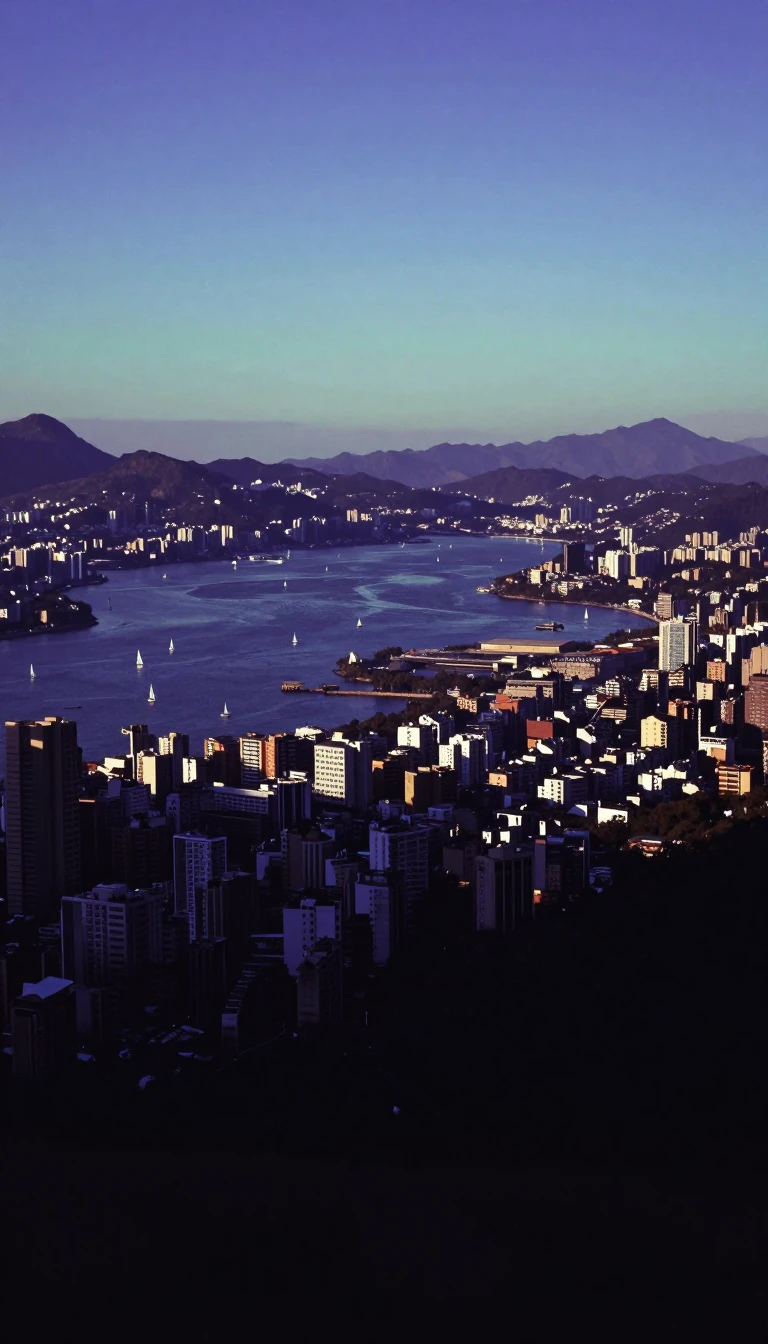
In short: Stretching 330 kilometres from the Auckland isthmus, the Northland Peninsula is more than just a scenic stretch of New Zealand. It is an allochthon—a massive block of land that formed elsewhere before migrating to its current position. This rugged landscape hides a complex history of tectonic upheaval and ancient seafloor.
The peninsula’s origins date back to a period between 25 and 22 million years ago, when it existed as a distinct island. Its formation was driven by the intense interaction between the Pacific and Australian tectonic plates. During this era, the landmass that would become Northland was positioned adjacent to the East Cape, which subsequently shifted southeast. The peninsula was eventually uplifted, a process that simultaneously forced the seafloor beneath the central Auckland Region down to depths reaching 3,000 metres.
Much of the peninsula is composed of material that traveled from afar, earning its classification as an allochthon. Evidence of this geological journey is found in the Waitemata Group sedimentary rock, which consists of debris eroded from the original Northland island and deposited onto the deep ocean floor. Today, the peninsula spans 330 kilometres in length and reaches a maximum width of 85 kilometres, featuring a highly irregular coastline punctuated by smaller peninsulas.
The northernmost 100 kilometres of the region narrow significantly to form the Aupōuri Peninsula, a smaller landform extending from the larger one. This northern tip contains several significant capes, including the Hikurua or de Surville Cliffs, which mark the peninsula's northernmost point at 34 degrees, 23 minutes, and 47 seconds South latitude. Beyond its geology, the area holds deep cultural importance, particularly at Waitangi, where the Treaty of Waitangi was first signed in February 1840, an event central to the national identity of New Zealand.
Administratively, the peninsula is divided between the Auckland Region in the south and the Northland Region, which covers the northern 80 percent. While the Auckland isthmus connects the peninsula to the rest of the North Island, the region remains distinct, characterized by massive natural features like the Kaipara Harbour and the historically significant Bay of Islands. Whangārei serves as the largest settlement outside the Auckland metropolitan area, situated on a Pacific-facing harbour.
Opens the Intellect+ feed with this card first. Swipe up for the next one.
Sources
- Summary by Intellect · source: Northland Peninsula
- Also: Wikidata — Northland Peninsula · CC0
To cite this card, link to https://intellectplus.co.uk/app/places-northland-peninsula.
How we source, check and correct cards: Editorial standards.
General information, not professional advice. Spotted an error? Flag the card or see corrections and complaints.
Intellect Plus is a visual educational discovery platform for exploring fascinating facts and ideas. Brain Food, Not Brain Rot. What is Intellect Plus?
Related
More in Peninsulas · More in Countries & Cities · Latest · A–Z · All topics
