The Olympic Peninsula remained one of the last unmapped frontiers in the United States
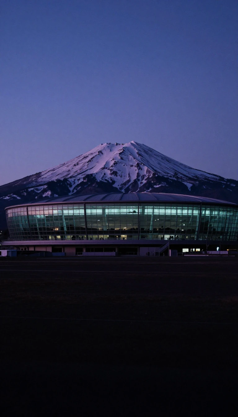
In short: Spanning 3,600 square miles, this rugged corner of Washington State was largely uncharted until the turn of the 20th century. Today, it hosts a dramatic collision of temperate rainforests, towering mountain ranges, and a unique rain shadow effect that creates vastly different climates within a single, wild landscape.
Located in the northwest corner of Washington, the Olympic Peninsula is defined by its extreme geographic diversity. To the west lies the Pacific Ocean, while the Strait of Juan de Fuca borders the north and the Hood Canal the east. The interior is dominated by the Olympic Mountains, the second-largest range in the state, which reach an elevation of 7,965 feet at their highest peak, Mt. Olympus. These mountains were formed through the collision of tectonic plates, a process that continues to shape the region's rugged topography.
The peninsula's climate is a study in contrasts. The western slopes of the mountains capture significant moisture, fostering lush temperate rainforests such as the Hoh, Queets, and Quinault. Conversely, the interior mountains create a rain shadow effect, leaving the northeastern areas significantly drier. This environmental variety supports a range of wildlife, including the Roosevelt elk and the endemic Olympic marmot. The region's history of isolation is notable; it was not until Arthur Dodwell and Theodore Rixon completed their topographical and timber surveys between 1898 and 1900 that much of the area was finally mapped.
Today, the peninsula is a mosaic of protected lands, including Olympic National Park and the Olympic National Forest, which contains five distinct wilderness areas. Conservation efforts remain active, with the Wild Olympics campaign currently working to secure further protections for salmon-bearing streams and adjacent wilderness. The landscape is also marked by a complex network of rivers and lakes, some of which have been restored following the removal of dams, such as the Elwha River, which saw the destruction of the former Elwha and Glines Canyon dams to revitalize the local ecosystem.
Opens the Intellect+ feed with this card first. Swipe up for the next one.
Sources
- Summary by Intellect · source: Olympic Peninsula
- Also: Olympic Peninsula | peninsula, Washington, United States | Britannica
- Also: Wikidata — Olympic Peninsula · CC0
To cite this card, link to https://intellectplus.co.uk/app/places-olympic-peninsula.
How we source, check and correct cards: Editorial standards.
General information, not professional advice. Spotted an error? Flag the card or see corrections and complaints.
Intellect Plus is a visual educational discovery platform for exploring fascinating facts and ideas. Brain Food, Not Brain Rot. What is Intellect Plus?
Related
More in Peninsulas · More in Countries & Cities · Latest · A–Z · All topics
